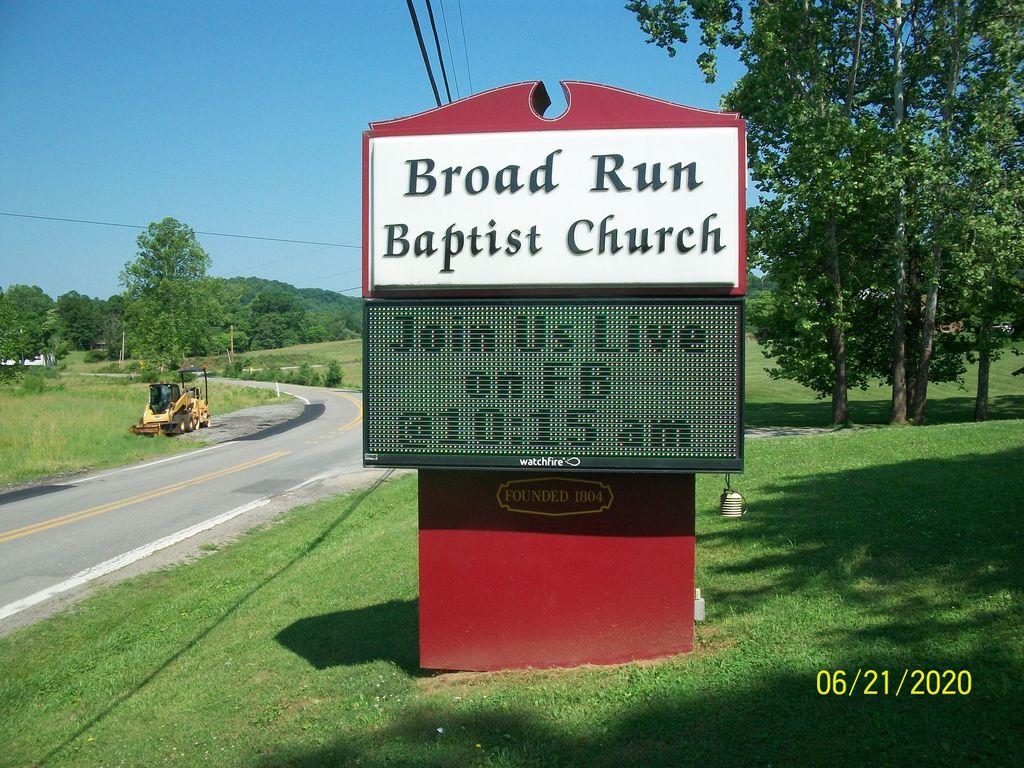
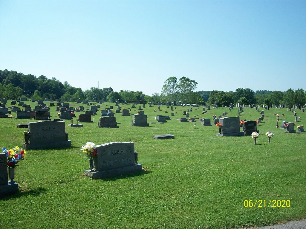
| Memorials | : | 298 |
| Location | : | Lightburn, Lewis County, USA |
| Coordinate | : | 39.1276190, -80.4395590 |
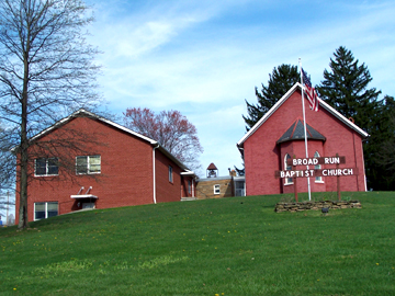
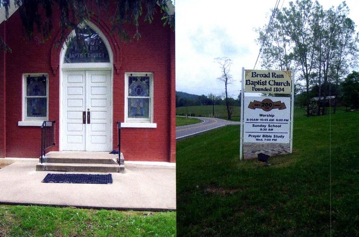
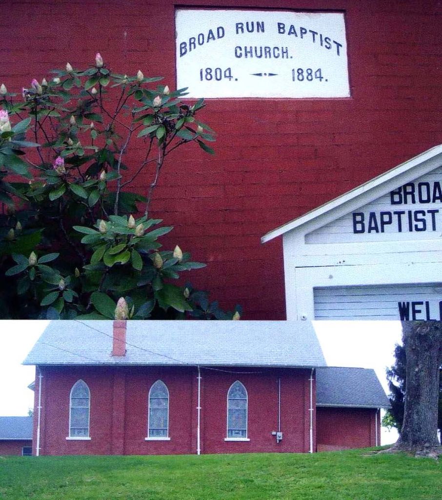
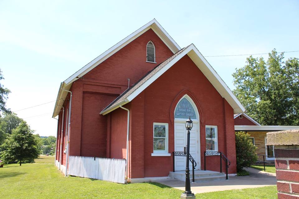
| Description | : | Founded in 1806. First Minister was John Carney. Many of it's first members were from the Germanna colonies in Fauquier County, VA. Located on County Route 8, Broad Run Road. |
frequently asked questions (FAQ):
-
Where is Broad Run Baptist Church Cemetery?
Broad Run Baptist Church Cemetery is located at County Route 8, Broad Run Road Lightburn, Lewis County ,West Virginia ,USA.
-
Broad Run Baptist Church Cemetery cemetery's updated grave count on graveviews.com?
298 memorials
-
Where are the coordinates of the Broad Run Baptist Church Cemetery?
Latitude: 39.1276190
Longitude: -80.4395590
Nearby Cemetories:
1. McCan's Run United Methodist Church Cemetery
Weston, Lewis County, USA
Coordinate: 39.1163550, -80.4632670
2. Mount Hebron Cemetery
Jane Lew, Lewis County, USA
Coordinate: 39.1060982, -80.4255981
3. Bailey Cemetery
Westfield, Lewis County, USA
Coordinate: 39.1067470, -80.4560270
4. Pioneer Cemetery
Jane Lew, Lewis County, USA
Coordinate: 39.1071830, -80.4098780
5. Post Cemetery
Harrison County, USA
Coordinate: 39.1631012, -80.4413986
6. Jackson Cemetery
Jackson Mill, Lewis County, USA
Coordinate: 39.0974998, -80.4705963
7. Thomas Law Cemetery
Jane Lew, Lewis County, USA
Coordinate: 39.0893270, -80.4326240
8. McWhorter Church Cemetery
McWhorter, Harrison County, USA
Coordinate: 39.1281000, -80.3815670
9. Jesse Run Cemetery
Jane Lew, Lewis County, USA
Coordinate: 39.1038235, -80.3900664
10. Straley Cemetery
Jane Lew, Lewis County, USA
Coordinate: 39.0990820, -80.3941210
11. Pleasant Hill United Methodist Church Cemetery
Harrison County, USA
Coordinate: 39.1469990, -80.4944340
12. Duck Creek Cemetery
Lost Creek, Harrison County, USA
Coordinate: 39.1594009, -80.3949966
13. Harmony Cemetery
Jane Lew, Lewis County, USA
Coordinate: 39.0999985, -80.3899994
14. New Bethel Cemetery
Harrison County, USA
Coordinate: 39.1772003, -80.4392014
15. Good Hope Masonic Cemetery
Goodhope, Harrison County, USA
Coordinate: 39.1772300, -80.4393600
16. Hershey Cemetery
Lost Creek, Harrison County, USA
Coordinate: 39.1731500, -80.4091900
17. Gee Lick Cemetery
Weston, Lewis County, USA
Coordinate: 39.0787170, -80.4761610
18. Butcher Cemetery
Turnertown, Lewis County, USA
Coordinate: 39.0727997, -80.4614029
19. Mount Morris Cemetery
Freemansburg, Lewis County, USA
Coordinate: 39.1066510, -80.5128230
20. Hicks Cemetery
Lewis County, USA
Coordinate: 39.0717010, -80.4077988
21. Beech Grove Cemetery
Weston, Lewis County, USA
Coordinate: 39.1070170, -80.5141540
22. Forest Lawn Memorial Gardens
Jane Lew, Lewis County, USA
Coordinate: 39.0649986, -80.4328003
23. Bethel Cemetery
Goodhope, Harrison County, USA
Coordinate: 39.1903000, -80.4261017
24. Green Hill Cemetery
Harrison County, USA
Coordinate: 39.1610080, -80.5112400

