
| Memorials | : | 18 |
| Location | : | Pincher Creek, Claresholm Census Division, Canada |
| Coordinate | : | 49.4655200, -113.7694100 |
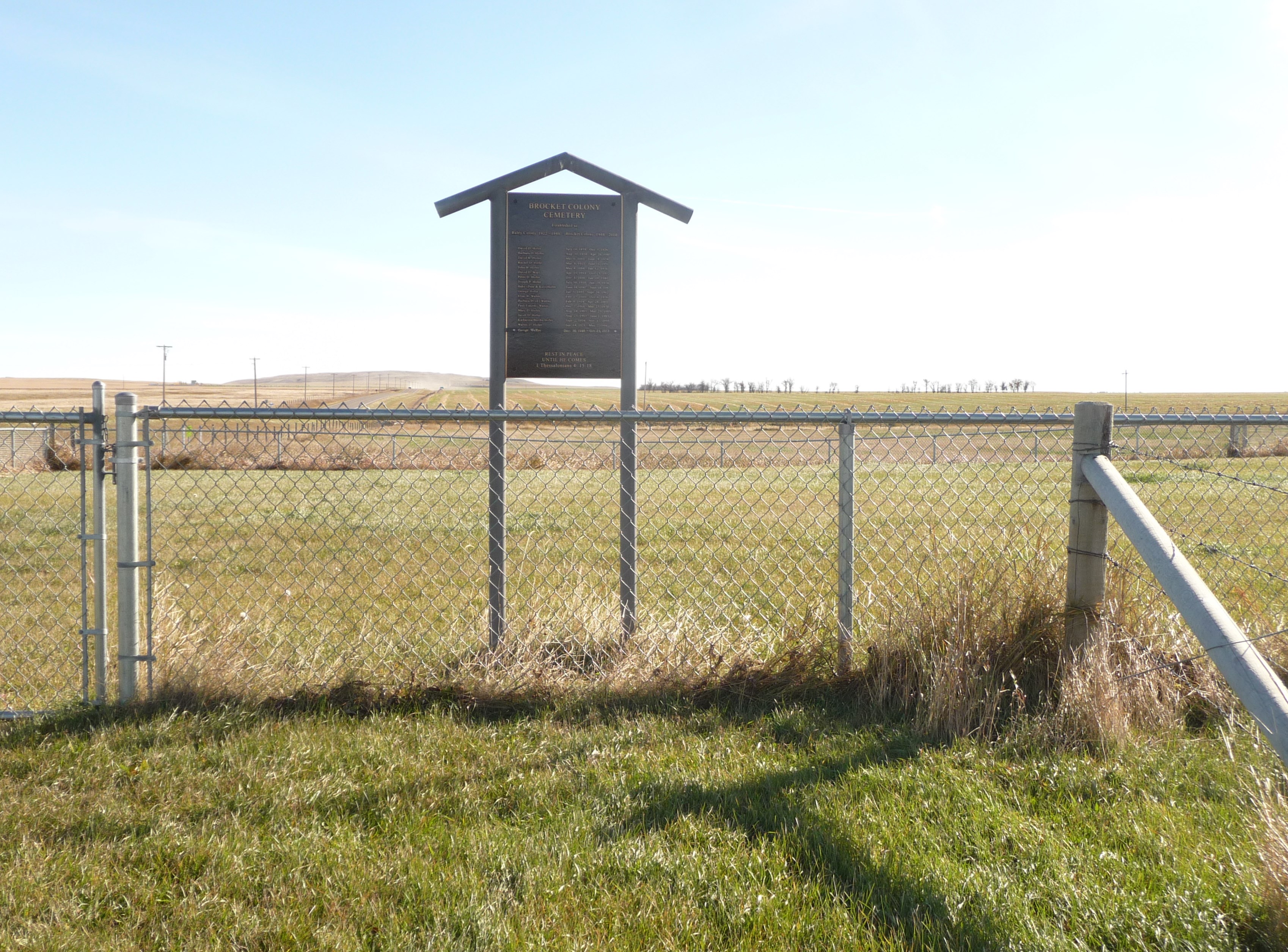
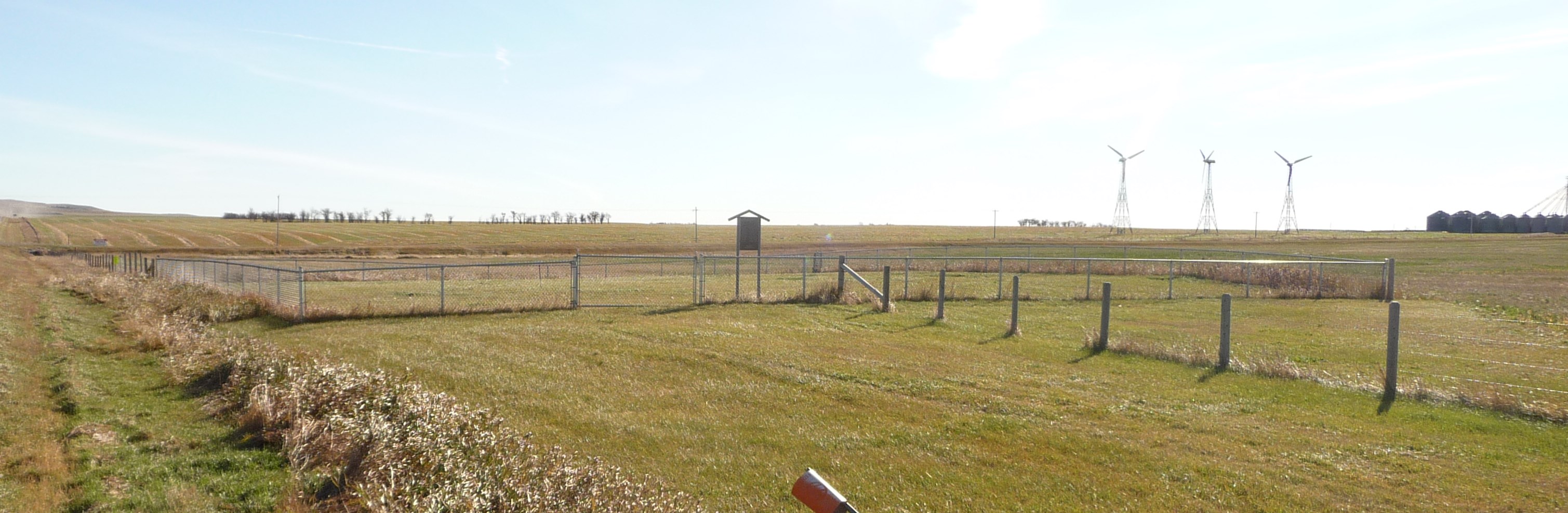
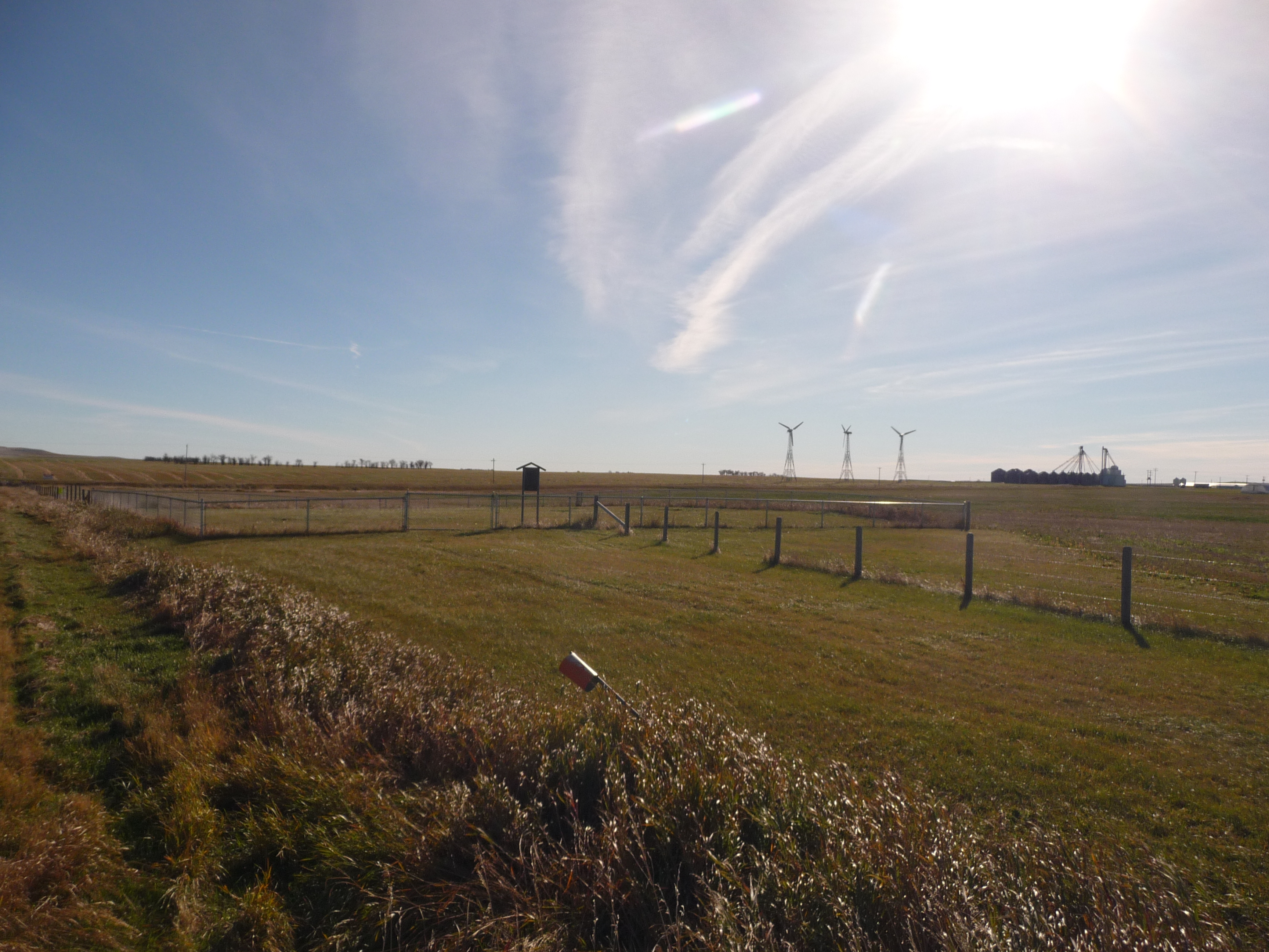
| Description | : | Hutterian Fellowship Colony Of Brocket is a privately held company in Pincher Creek, AB. Phone: (403) 627-4188 The tiny cemetery is located west of the intersection of Secondary Highway and Range Road 29-0 in the County of Pincher Creek, Alberta. The graves are not individually marked and a plaque at the gate honors the deceased. |
frequently asked questions (FAQ):
-
Where is Brocket Colony Cemetery?
Brocket Colony Cemetery is located at Pincher Creek, Claresholm Census Division ,Alberta , T0K 1W0Canada.
-
Brocket Colony Cemetery cemetery's updated grave count on graveviews.com?
18 memorials
-
Where are the coordinates of the Brocket Colony Cemetery?
Latitude: 49.4655200
Longitude: -113.7694100

Nearby Cemetories:
1. Pincher Creek Mennonite Brethren Cemetery
Pincher Creek, Claresholm Census Division, Canada
Coordinate: 49.4699090, -113.8627370
2. Brocket Cemetery
Brocket, Claresholm Census Division, Canada
Coordinate: 49.5457100, -113.7667700
3. Springridge Mennonite Church Cemetery
Springridge, Claresholm Census Division, Canada
Coordinate: 49.4529305, -113.6340179
4. Fishburn United Church Cemetery
Pincher Creek, Claresholm Census Division, Canada
Coordinate: 49.3783700, -113.7011300
5. Fairview Cemetery
Pincher Creek, Claresholm Census Division, Canada
Coordinate: 49.4935700, -113.9231800
6. Pioneer Cemetery
Pincher Creek, Claresholm Census Division, Canada
Coordinate: 49.4944000, -113.9404000
7. Trinity Lutheran Cemetery
Pincher Creek, Claresholm Census Division, Canada
Coordinate: 49.4070670, -113.9263560
8. Hartley Cemetery
Hartleyville, Claresholm Census Division, Canada
Coordinate: 49.3777000, -113.6227000
9. Saint Henry's Roman Catholic Church Cemetery
Twin Butte, Claresholm Census Division, Canada
Coordinate: 49.3189900, -113.7728900
10. Pincher Creek Colony
Pincher Creek, Claresholm Census Division, Canada
Coordinate: 49.5047220, -113.9947220
11. Thompson Hutterite Cemetery
Glenwood, Claresholm Census Division, Canada
Coordinate: 49.4269974, -113.5401975
12. Hill Spring Cemetery
Hill Spring, Claresholm Census Division, Canada
Coordinate: 49.3128700, -113.6436100
13. Ewelme Hutterite Cemetery
Glenwood, Claresholm Census Division, Canada
Coordinate: 49.4510436, -113.4906843
14. Hill Spring Pioneer Cemetery
Hill Spring, Claresholm Census Division, Canada
Coordinate: 49.3035000, -113.6249000
15. Glenwood Cemetery
Glenwood, Claresholm Census Division, Canada
Coordinate: 49.3859800, -113.5003500
16. Waterton Hutterite Cemetery
Hill Spring, Claresholm Census Division, Canada
Coordinate: 49.2661602, -113.6918691
17. Riverside Hutterite Colony Cemetery
Glenwood, Claresholm Census Division, Canada
Coordinate: 49.4379404, -113.4492438
18. Spring Point Hutterite Cemetery
Pincher Creek, Claresholm Census Division, Canada
Coordinate: 49.6843639, -113.8070451
19. Pioneer Cemetery
Levern, Claresholm Census Division, Canada
Coordinate: 49.3489700, -113.4642000
20. Cowley Cemetery
Cowley, Claresholm Census Division, Canada
Coordinate: 49.5906800, -114.0943900
21. Bratton Family Cemetery
Spring Point, Claresholm Census Division, Canada
Coordinate: 49.7150200, -113.8017500
22. Blue Ridge Hutterite Cemetery
Hill Spring, Claresholm Census Division, Canada
Coordinate: 49.2320117, -113.6305672
23. United Doukhobors of Alberta Cemetery
Lundbreck, Claresholm Census Division, Canada
Coordinate: 49.5768410, -114.1484240
24. Standoff Hutterite Colony Cemetery
Stand Off, Claresholm Census Division, Canada
Coordinate: 49.4829507, -113.3130885