
| Memorials | : | 0 |
| Location | : | Tipton, Moniteau County, USA |
| Coordinate | : | 38.6738300, -92.7761200 |
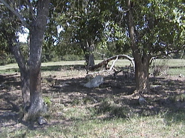
| Description | : | Cemetery is located north of Tipton, Missouri on Route B about three quarter of a mile on private property. It is reported that several members of the Girst family are buried here but no tombstones. Special Note: The farm at one time was owned by Walt Monroe and some records reffers to this cemetery as the Monroe Cemetery. I had already down loaded the Monroe Cemetery before I realized that Brooking and Monroe were the same cemetery. |
frequently asked questions (FAQ):
-
Where is Brooking Cemetery?
Brooking Cemetery is located at Tipton, Moniteau County ,Missouri ,USA.
-
Brooking Cemetery cemetery's updated grave count on graveviews.com?
0 memorials
-
Where are the coordinates of the Brooking Cemetery?
Latitude: 38.6738300
Longitude: -92.7761200
Nearby Cemetories:
1. Tipton Colored Cemetery
Tipton, Moniteau County, USA
Coordinate: 38.6654100, -92.7833900
2. Masonic Cemetery
Tipton, Moniteau County, USA
Coordinate: 38.6622009, -92.7827988
3. Odd Fellows Cemetery
Tipton, Moniteau County, USA
Coordinate: 38.6634100, -92.7653500
4. Saint Andrews Catholic Cemetery
Tipton, Moniteau County, USA
Coordinate: 38.6494200, -92.7972400
5. Howard Cemetery
Cooper County, USA
Coordinate: 38.6917000, -92.7414017
6. Woods Family Cemetery Number Two
Cooper County, USA
Coordinate: 38.7052994, -92.7874985
7. Gallagher Cemetery
Tipton, Moniteau County, USA
Coordinate: 38.6553001, -92.8167038
8. Hopewell Cemetery
Cooper County, USA
Coordinate: 38.7172012, -92.7621994
9. Billingsley Family Cemetery
Clarksburg, Moniteau County, USA
Coordinate: 38.6788400, -92.7143400
10. Smiley and Pulley Burial Grounds
Cotton, Cooper County, USA
Coordinate: 38.7005997, -92.7230988
11. Dorner Cemetery
Moniteau County, USA
Coordinate: 38.6241200, -92.7882600
12. Huff Cemetery
Tipton, Moniteau County, USA
Coordinate: 38.6644900, -92.8403400
13. Renshaw Cemetery
Cooper County, USA
Coordinate: 38.6941986, -92.7127991
14. Snorgrass Cemetery
Tipton, Moniteau County, USA
Coordinate: 38.6302986, -92.8266983
15. Moreau Cemetery
Tipton, Moniteau County, USA
Coordinate: 38.6241989, -92.7335968
16. Bridges Family Cemetery
Syracuse, Morgan County, USA
Coordinate: 38.6723100, -92.8585800
17. McPherson Family Cemetery
Tipton, Moniteau County, USA
Coordinate: 38.6091100, -92.7537200
18. Woods Cemetery
Tipton, Moniteau County, USA
Coordinate: 38.6034100, -92.7650700
19. Chilton Cemetery
Bunceton, Cooper County, USA
Coordinate: 38.7472000, -92.7694016
20. Syracuse Cemetery
Syracuse, Morgan County, USA
Coordinate: 38.6699160, -92.8718290
21. Christian Cemetery
Tipton, Moniteau County, USA
Coordinate: 38.5971200, -92.7671900
22. Liberty Cemetery
Moniteau County, USA
Coordinate: 38.6044006, -92.8233032
23. Olive Branch Church Cemetery
Morgan County, USA
Coordinate: 38.6323100, -92.8685600
24. Mount Moriah Cemetery
Clarksburg, Moniteau County, USA
Coordinate: 38.6302190, -92.6828370