
| Memorials | : | 119 |
| Location | : | Claiborne County, USA |
| Coordinate | : | 36.5372734, -83.4401855 |
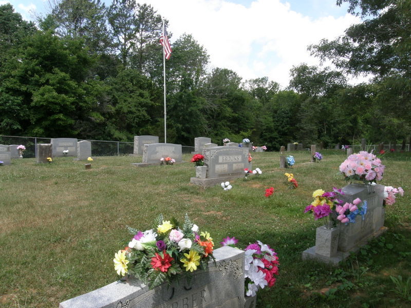
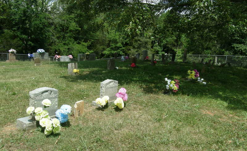
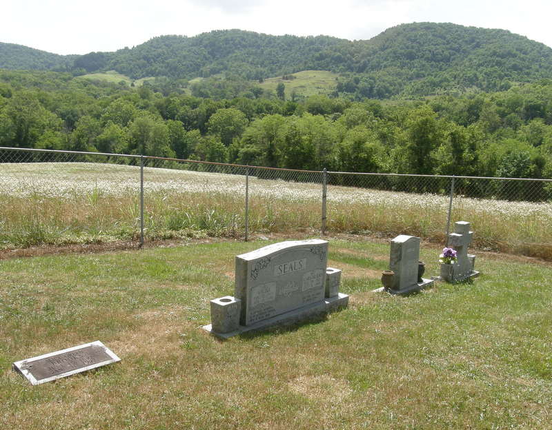
| Description | : | The Brooks Cemetery is located on a rise in a loop of the Powell River opposite Hoop Creek and just to the East of where highway TN-38 crosses the river at Brooks Bridge. The cemetery is on land granted to George Washington Brooks (1815-1890) in Tennessee Grant #28835, signed by Governor MB Campbell, and dated 14 Sep 1853. The farm was inherited by his son George Washington Brooks Jr 1851-1906, and is still held within the family. GW Brooks’ grandfather, Bartlett Brooks, was born in Prince Edward County, VA in 1763, and in about 1821 moved with his grown... Read More |
frequently asked questions (FAQ):
-
Where is Brooks Cemetery?
Brooks Cemetery is located at Brooks Bridge Claiborne County ,Tennessee ,USA.
-
Brooks Cemetery cemetery's updated grave count on graveviews.com?
119 memorials
-
Where are the coordinates of the Brooks Cemetery?
Latitude: 36.5372734
Longitude: -83.4401855
Nearby Cemetories:
1. Chadwell Family Cemetery
Claiborne County, USA
Coordinate: 36.5469210, -83.4457950
2. Chadwell Cemetery
Claiborne County, USA
Coordinate: 36.5522003, -83.4522018
3. Clarkson Cemetery
Hancock County, USA
Coordinate: 36.5752983, -83.4257965
4. Brooks Cemetery
Hancock County, USA
Coordinate: 36.5410995, -83.3880997
5. Breeding Cemetery
Hancock County, USA
Coordinate: 36.5656013, -83.3933029
6. Edd Cemetery
Hancock County, USA
Coordinate: 36.5738983, -83.4000015
7. Burchett Cemetery
Forge Ridge, Claiborne County, USA
Coordinate: 36.5113983, -83.4946976
8. Carpenter Cemetery
Hancock County, USA
Coordinate: 36.5102997, -83.3843994
9. Campbell Cemetery #06
Claiborne County, USA
Coordinate: 36.5115000, -83.5116800
10. Campbell Cemetery
Claiborne County, USA
Coordinate: 36.5107000, -83.5118800
11. Cosby Cemetery
Claiborne County, USA
Coordinate: 36.5307999, -83.5199966
12. Bell Cemetery
Hancock County, USA
Coordinate: 36.5226400, -83.3615580
13. Brooks Cemetery Frog Level
Ewing, Lee County, USA
Coordinate: 36.6024760, -83.4462610
14. Monday Cemetery
Ewing, Lee County, USA
Coordinate: 36.5980880, -83.4089680
15. Edens Cemetery
Hancock County, USA
Coordinate: 36.5381920, -83.3562860
16. Wares Cemetery
Ewing, Lee County, USA
Coordinate: 36.6039009, -83.4561005
17. Fugate Cemetery
Lee County, USA
Coordinate: 36.6035943, -83.4059650
18. Brooks Cemetery
Claiborne County, USA
Coordinate: 36.5802994, -83.5143967
19. Cross - Satterfield Cemetery
Kesterson Mill, Lee County, USA
Coordinate: 36.5986730, -83.4913060
20. Brooks Cemetery
Ewing, Lee County, USA
Coordinate: 36.5985985, -83.4918976
21. Yeary Cemetery
Ewing, Lee County, USA
Coordinate: 36.6102982, -83.4244003
22. Brooks Family Cemetery
Claiborne County, USA
Coordinate: 36.5063900, -83.5263900
23. Cosby Cemetery
Claiborne County, USA
Coordinate: 36.5581017, -83.5314026
24. Cosby Poplar Grove Cemetery
Claiborne County, USA
Coordinate: 36.5582220, -83.5314560