
| Memorials | : | 0 |
| Location | : | Evans Landing, Harrison County, USA |
| Coordinate | : | 38.0188000, -85.9964000 |
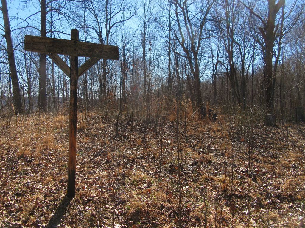
| Description | : | The cemetery is located in Taylor Township (NW quadrant of the SE quadrant of the NE quadrant of Section 6 Township 6S Range 5E) about 2200 feet south of the south end of Lambs Ridge Road SE. Indiana Cemetery Locations, Volume 4, published by the Indiana Genealogical Society (April 2009), gives the primary cemetery name as Brown Cemetery. The cemetery is listed in the Cemetery and Burial Grounds Registry of the Indiana Department of Natural Resources (DNR) and in the State Historical Architectural and Archaeological Research Database (SHAARD) with Cemetery Record Number CR-31-272 (Brown). |
frequently asked questions (FAQ):
-
Where is Brown Cemetery?
Brown Cemetery is located at Lamb Ridge Road SE Evans Landing, Harrison County ,Indiana , 47117USA.
-
Brown Cemetery cemetery's updated grave count on graveviews.com?
0 memorials
-
Where are the coordinates of the Brown Cemetery?
Latitude: 38.0188000
Longitude: -85.9964000

Nearby Cemetories:
1. Evans Landing Presbyterian Cemetery
Evans Landing, Harrison County, USA
Coordinate: 38.0066795, -85.9872513
2. Old Log Baptist Church Cemetery
Evans Landing, Harrison County, USA
Coordinate: 38.0167330, -85.9752850
3. Nancy Brown Cemetery
Boone Township, Harrison County, USA
Coordinate: 38.0098830, -86.0177830
4. Chaffin Cemetery
Boone Township, Harrison County, USA
Coordinate: 38.0176330, -86.0268000
5. McCormick Cemetery
West Point, Hardin County, USA
Coordinate: 37.9949989, -85.9882965
6. Barger Cemetery
Buena Vista, Harrison County, USA
Coordinate: 38.0386314, -86.0197525
7. Ferree Family Cemetery
Laconia, Harrison County, USA
Coordinate: 38.0307520, -86.0287670
8. Old Saint Peters Catholic Cemetery
Buena Vista, Harrison County, USA
Coordinate: 38.0473690, -85.9886200
9. Jess Young Family Cemetery
West Point, Hardin County, USA
Coordinate: 37.9969554, -85.9612340
10. Geoghegan Cemetery
West Point, Hardin County, USA
Coordinate: 37.9977989, -85.9589005
11. Keene Cemetery
Buena Vista, Harrison County, USA
Coordinate: 38.0265320, -85.9512680
12. Streible Cemetery
Muldraugh, Meade County, USA
Coordinate: 37.9878600, -86.0228600
13. Becky Brown Cemetery
Boone Township, Harrison County, USA
Coordinate: 37.9945330, -86.0328830
14. Stallings Cemetery
Harrison County, USA
Coordinate: 37.9953003, -86.0400009
15. Saint Peters Catholic Cemetery
Buena Vista, Harrison County, USA
Coordinate: 38.0590706, -85.9786835
16. Memorial Baptist Cemetery
Laconia, Harrison County, USA
Coordinate: 38.0062780, -86.0485590
17. Stewart Cemetery
Muldraugh, Meade County, USA
Coordinate: 37.9780470, -86.0141450
18. Brown Cemetery
New Boston, Harrison County, USA
Coordinate: 37.9999330, -86.0461670
19. Islamic Community Cemetery
Rosewood, Harrison County, USA
Coordinate: 38.0323530, -85.9414880
20. John Brown Cemetery
Boone Township, Harrison County, USA
Coordinate: 38.0135500, -86.0537670
21. Able Family Cemetery
Boone Township, Harrison County, USA
Coordinate: 38.0563889, -86.0291824
22. Cook Cemetery
Fort Knox, Hardin County, USA
Coordinate: 37.9799770, -86.0269310
23. Hedden Cemetery
Rosewood, Harrison County, USA
Coordinate: 38.0328020, -85.9411350
24. Withers-Geoghegan Cemetery
West Point, Hardin County, USA
Coordinate: 37.9995000, -85.9436000