
| Memorials | : | 40 |
| Location | : | Ballsville, Powhatan County, USA |
| Coordinate | : | 37.5473830, -78.0899740 |
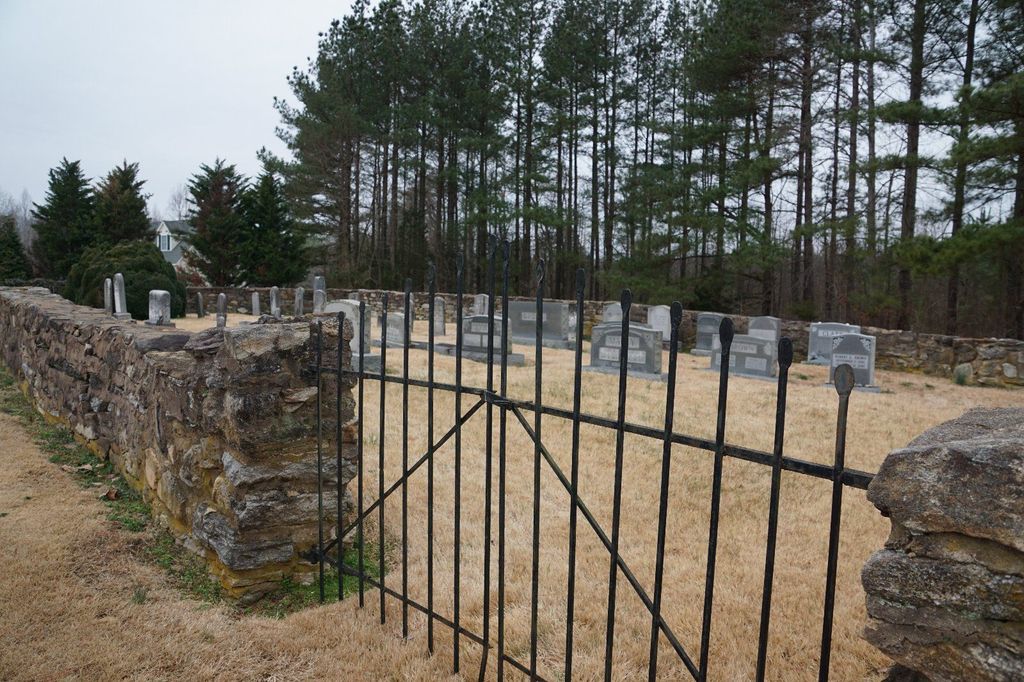
| Description | : | Gravesite is located across the street of "Somerset", the Brown family plantation/farm, listed on the National Registry of Historic Places, on Ballsville road, just south of it's intersection with Rt. 60. Powhatan County, VA GIS Parcel Number: 022-17 Owner CEMETERY Area: 0.5 Acres |
frequently asked questions (FAQ):
-
Where is Brown Family Cemetery?
Brown Family Cemetery is located at 2305 Ballsville Road Ballsville, Powhatan County ,Virginia , 23139USA.
-
Brown Family Cemetery cemetery's updated grave count on graveviews.com?
40 memorials
-
Where are the coordinates of the Brown Family Cemetery?
Latitude: 37.5473830
Longitude: -78.0899740
Nearby Cemetories:
1. Bowles Family Cemetery
Cumberland, Cumberland County, USA
Coordinate: 37.5406408, -78.1297578
2. Rising Zion Baptist Church Cemetery
Cumberland County, USA
Coordinate: 37.5411790, -78.1351110
3. Brown Family Cemetery
Cumberland, Cumberland County, USA
Coordinate: 37.5601400, -78.1516600
4. Mount Moriah Church Cemetery
Ballsville, Powhatan County, USA
Coordinate: 37.5007553, -78.0635147
5. Mount Pero Baptist Church Cemetery
Ballsville, Powhatan County, USA
Coordinate: 37.5010050, -78.0617530
6. Cocke Cemetery at Oakland
Cartersville, Cumberland County, USA
Coordinate: 37.5998379, -78.1104151
7. Walton Family Cemetery
Cartersville, Cumberland County, USA
Coordinate: 37.5972800, -78.1248450
8. Martin Family Cemetery
Powhatan County, USA
Coordinate: 37.5068600, -78.0374000
9. Full Gospel Church Cemetery
Powhatan, Powhatan County, USA
Coordinate: 37.5108740, -78.0300770
10. Taylor Cemetery
Cumberland County, USA
Coordinate: 37.5856018, -78.1513977
11. Heath Family Cemetery
Powhatan County, USA
Coordinate: 37.5074400, -78.0288900
12. Mount Zion Baptist Church Cemetery
Powhatan, Powhatan County, USA
Coordinate: 37.5630360, -78.0125680
13. Hobson’s Chapel United Methodist Church Cemetery
Powhatan, Powhatan County, USA
Coordinate: 37.4800180, -78.1063600
14. Providence Presbyterian Church Cemetery
Powhatan, Powhatan County, USA
Coordinate: 37.5249760, -78.0081250
15. Shiloh New Covenant Church
Cumberland, Cumberland County, USA
Coordinate: 37.5264960, -78.1733110
16. Muddy Creek Baptist Cemetery
Powhatan County, USA
Coordinate: 37.6130590, -78.0607420
17. Oak Grove Cemetery
Oak Forest, Cumberland County, USA
Coordinate: 37.5647011, -78.1849976
18. Dawson Cemetery
Cumberland, Cumberland County, USA
Coordinate: 37.5202750, -78.1827400
19. Meador Cemetery
Cumberland County, USA
Coordinate: 37.5619011, -78.1924973
20. Mount Calvary Baptist Church Cemetery
Whiteville, Cumberland County, USA
Coordinate: 37.6072006, -78.1631012
21. Center Union Baptist Church Cemetery
Cumberland, Cumberland County, USA
Coordinate: 37.4766273, -78.1461411
22. Little Zion Baptist Church Cemetery
Powhatan, Powhatan County, USA
Coordinate: 37.6255000, -78.0492000
23. Thomas Chapel Cemetery
Cumberland County, USA
Coordinate: 37.6143990, -78.1552963
24. Red Rock Cemetery
Cumberland County, USA
Coordinate: 37.5726750, -78.1939190