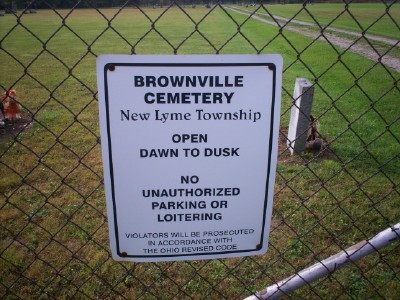
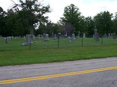
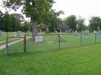
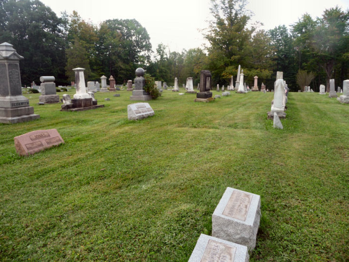
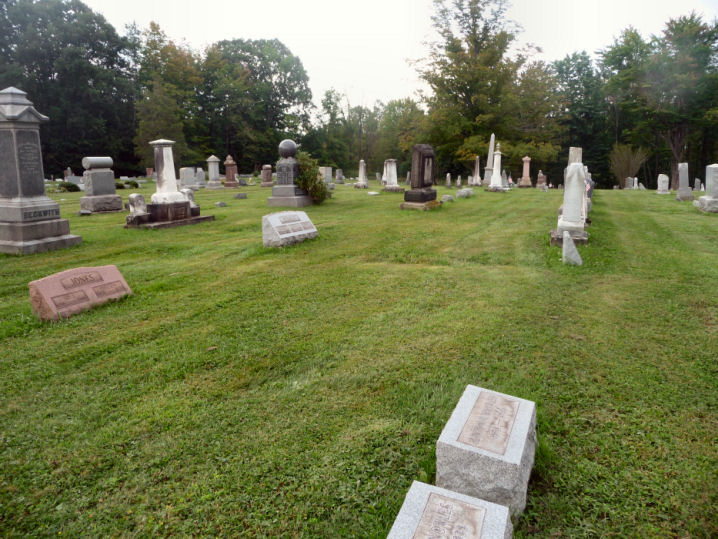
| Memorials | : | 25 |
| Location | : | New Lyme, Ashtabula County, USA |
| Coordinate | : | 41.5835991, -80.7696991 |
| Description | : | The cemetery is located on the east side of Brownville Road (County Road 8) about 0.2 miles southwest of its intersection with Dodgeville Road (Township Road 580). The cemetery is located in New Lyme Township, Ashtabula County, Ohio, and is # 426 (East Brownville Cemetery) in “Ohio Cemeteries 1803-2003”, compiled by the Ohio Genealogical Society. The cemetery is registered with the Ohio Division of Real Estate and Professional Licensing (ODRE) as Brownville Cemetery with registration license number CGR.0000981874. The U.S. Geological Survey (USGS) Geographic Names Information System (GNIS) feature ID for the cemetery is 1039975 (East Brownville Cemetery... Read More |
frequently asked questions (FAQ):
-
Where is Brownville Cemetery?
Brownville Cemetery is located at Brownville Road (County Road 8) New Lyme, Ashtabula County ,Ohio , 44085USA.
-
Brownville Cemetery cemetery's updated grave count on graveviews.com?
22 memorials
-
Where are the coordinates of the Brownville Cemetery?
Latitude: 41.5835991
Longitude: -80.7696991
Nearby Cemetories:
1. Dodgeville Cemetery
New Lyme, Ashtabula County, USA
Coordinate: 41.5868988, -80.7917023
2. Hyde-Miller Cemetery
New Lyme, Ashtabula County, USA
Coordinate: 41.6008400, -80.8033900
3. North Colebrook Cemetery
New Lyme, Ashtabula County, USA
Coordinate: 41.5554970, -80.7905290
4. Northeast Rome Cemetery
Roaming Shores, Ashtabula County, USA
Coordinate: 41.6352997, -80.8146973
5. Rome Center Cemetery
Rome, Ashtabula County, USA
Coordinate: 41.6055984, -80.8585968
6. Colebrook South Cemetery
Colebrook, Ashtabula County, USA
Coordinate: 41.5151400, -80.7293100
7. Crosby Cemetery
Ashtabula County, USA
Coordinate: 41.6147003, -80.8660965
8. North Cemetery
Ashtabula County, USA
Coordinate: 41.6192017, -80.8664017
9. Cherry Valley Cemetery
Cherry Valley, Ashtabula County, USA
Coordinate: 41.6082993, -80.6596985
10. Orwell North Cemetery
Orwell, Ashtabula County, USA
Coordinate: 41.5390015, -80.8700027
11. Saint Marys Cemetery
Orwell, Ashtabula County, USA
Coordinate: 41.5384470, -80.8703600
12. South Orwell Cemetery
Orwell, Ashtabula County, USA
Coordinate: 41.5210991, -80.8589020
13. Center Cemetery
Wayne, Ashtabula County, USA
Coordinate: 41.5362400, -80.6648700
14. East Lenox Cemetery
Lenox Center, Ashtabula County, USA
Coordinate: 41.6791992, -80.7643967
15. West Lenox Cemetery
Lenox Center, Ashtabula County, USA
Coordinate: 41.6805992, -80.7802963
16. Hayes Cemetery
Wayne, Ashtabula County, USA
Coordinate: 41.5489006, -80.6466980
17. Unionville Cemetery
Harpersfield, Ashtabula County, USA
Coordinate: 41.6597773, -80.8667552
18. Union Cemetery
Rock Creek, Ashtabula County, USA
Coordinate: 41.6596985, -80.8668976
19. Dorset Cemetery
Dorset, Ashtabula County, USA
Coordinate: 41.6599998, -80.6611023
20. Beal Cemetery
Cherry Valley, Ashtabula County, USA
Coordinate: 41.6164070, -80.6243800
21. Southeast Hartsgrove Cemetery
Hartsgrove, Ashtabula County, USA
Coordinate: 41.5778008, -80.9218979
22. Pioneer Cemetery
Greene, Trumbull County, USA
Coordinate: 41.4697000, -80.7525000
23. Bloomfield Cemetery
Bloomfield Township, Trumbull County, USA
Coordinate: 41.4990420, -80.8797370
24. Morgan Township Cemetery
Rock Creek, Ashtabula County, USA
Coordinate: 41.6911960, -80.8354470

