| Memorials | : | 0 |
| Location | : | El Dorado, Union County, USA |
| Coordinate | : | 33.1457820, -92.5187870 |
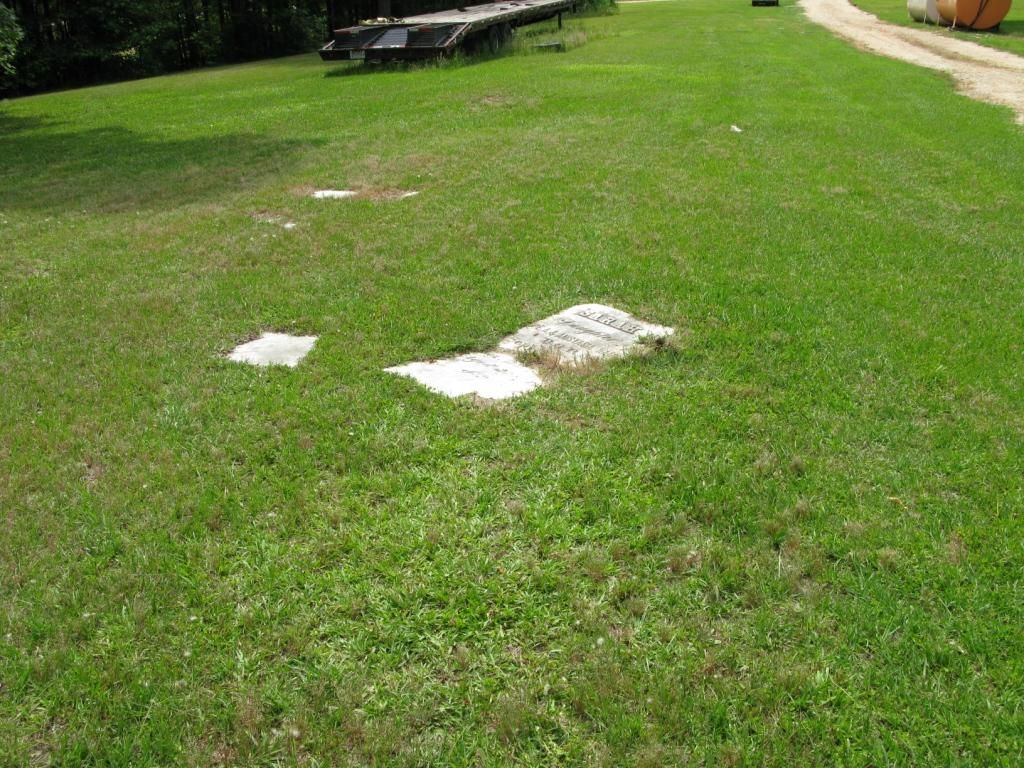
| Description | : | Bruce's Chapel Cemetery is located on land, nicknamed Jerry Hill, that in 1980 was owned by Otis Jerry. It is about 7 miles east of El Dorado, Union, AR on Hwy 82. The chapel itself is long gone, and the headstones may be gone now (2017), as well. There may be other graves here, but in 1980 only the seven listed still had headstones. |
frequently asked questions (FAQ):
-
Where is Bruce's Chapel Cemetery?
Bruce's Chapel Cemetery is located at El Dorado, Union County ,Arkansas ,USA.
-
Bruce's Chapel Cemetery cemetery's updated grave count on graveviews.com?
0 memorials
-
Where are the coordinates of the Bruce's Chapel Cemetery?
Latitude: 33.1457820
Longitude: -92.5187870
Nearby Cemetories:
1. Hillsboro Cemetery
Union County, USA
Coordinate: 33.1222000, -92.5016000
2. Free Union Cemetery
Strong, Union County, USA
Coordinate: 33.1611000, -92.5538000
3. Liberty Cemetery
Urbana, Union County, USA
Coordinate: 33.1660995, -92.4867020
4. Craig Cemetery
Hillsboro, Union County, USA
Coordinate: 33.1444000, -92.5621000
5. Bethlehem Cemetery
Urbana, Union County, USA
Coordinate: 33.1018982, -92.5006027
6. Urbana Cemetery
Urbana, Union County, USA
Coordinate: 33.1505800, -92.4483800
7. Ford & Golden Cemetery
Pleasant Grove, Union County, USA
Coordinate: 33.0883000, -92.5452000
8. Bussey-Hearin Cemetery
Pleasant Grove, Union County, USA
Coordinate: 33.0840000, -92.5407000
9. Brock Cemetery
El Dorado, Union County, USA
Coordinate: 33.1758000, -92.5884500
10. Pleasant Grove Cemetery
Strong, Union County, USA
Coordinate: 33.1159500, -92.4466700
11. Saint James Cemetery
Urbana, Union County, USA
Coordinate: 33.1670000, -92.4376000
12. Rhodes Chapel Cemetery
Lawson, Union County, USA
Coordinate: 33.2082000, -92.4698000
13. Center Point Cemetery
Strong, Union County, USA
Coordinate: 33.1307983, -92.4266968
14. Saint Paul Cemetery
Old Union, Union County, USA
Coordinate: 33.2296982, -92.5472031
15. Beulah Springs Cemetery
Old Union, Union County, USA
Coordinate: 33.2346992, -92.5096970
16. Newton Cemetery
El Dorado, Union County, USA
Coordinate: 33.1894000, -92.6119000
17. Old Union Cemetery
Old Union, Union County, USA
Coordinate: 33.2375600, -92.5311000
18. Wesley Chapel Cemetery
Smithville, Union County, USA
Coordinate: 33.2227700, -92.5800500
19. Cane Creek Cemetery
Strong, Union County, USA
Coordinate: 33.0783005, -92.4424973
20. Knowles Cemetery
Sandy Bend, Union County, USA
Coordinate: 33.1389400, -92.4080400
21. Zion Watch Cemetery
El Dorado, Union County, USA
Coordinate: 33.2214012, -92.5967026
22. Smyrna Cemetery
El Dorado, Union County, USA
Coordinate: 33.1143990, -92.6342010
23. Shady Grove Cemetery
El Dorado, Union County, USA
Coordinate: 33.2397003, -92.5766983
24. Cathey Cemetery
Lawson, Union County, USA
Coordinate: 33.2293000, -92.4412000


