
| Memorials | : | 3 |
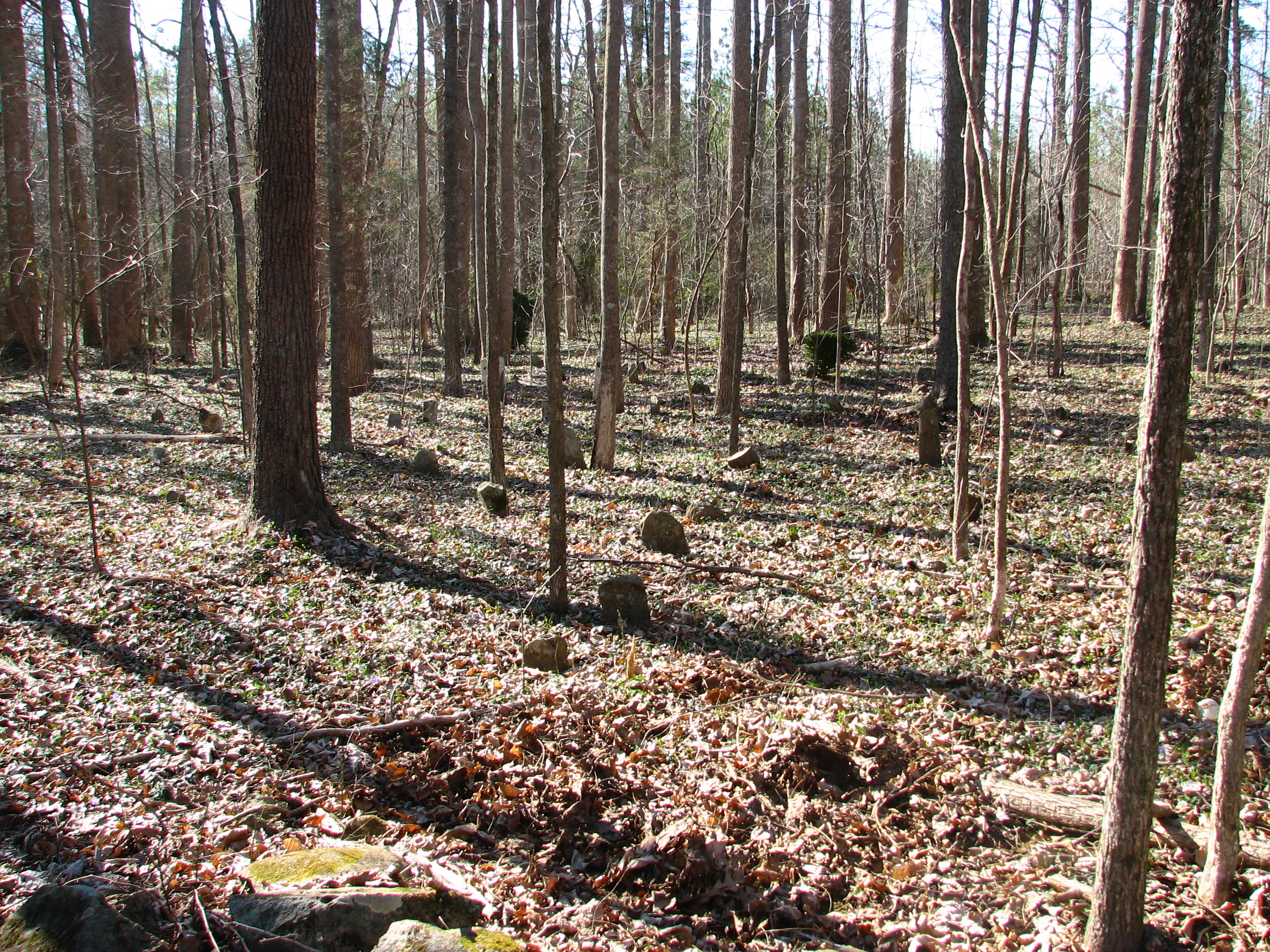
| Location | : | Coleridge, Randolph County, USA |
| Coordinate | : | 35.6780740, -79.5489280 |
| Description | : | In Randolph County, just west of Chatham County line, 100 feet west of SR 2637, 0.2 mile north of SR 2636 |
frequently asked questions (FAQ):
-
Where is Brush Creek Primitive Baptist Cemetery?
Brush Creek Primitive Baptist Cemetery is located at Coleridge, Randolph County ,North Carolina ,USA.
-
Brush Creek Primitive Baptist Cemetery cemetery's updated grave count on graveviews.com?
3 memorials
-
Where are the coordinates of the Brush Creek Primitive Baptist Cemetery?
Latitude: 35.6780740
Longitude: -79.5489280
Nearby Cemetories:
1. Brush Creek Baptist Church Cemetery
Bear Creek, Chatham County, USA
Coordinate: 35.6527557, -79.5240936
2. Page Family Cemetery
Chatham County, USA
Coordinate: 35.6659431, -79.5102005
3. Lane-Moon Cemetery
Bear Creek, Chatham County, USA
Coordinate: 35.6461100, -79.5305600
4. Bray Cemetery
Bear Creek, Chatham County, USA
Coordinate: 35.6392430, -79.5295760
5. Coxs Chapel United Methodist Church Cemetery
Ramseur, Randolph County, USA
Coordinate: 35.6919860, -79.6064320
6. Caviness-Vestal Family Graveyard
Matthews Township, Chatham County, USA
Coordinate: 35.7271100, -79.5401700
7. Kildee Wesleyan Church Cemetery
Ramseur, Randolph County, USA
Coordinate: 35.7247960, -79.5741630
8. Concord Cemetery
Coleridge, Randolph County, USA
Coordinate: 35.6525002, -79.6042023
9. Parks Crossroads Christian Church Cemetery
Ramseur, Randolph County, USA
Coordinate: 35.7048240, -79.6045480
10. Rehobeth Methodist Church Cemetery
Ramseur, Randolph County, USA
Coordinate: 35.7288160, -79.5741310
11. Little Rock Bible Way Church Cemetery
Matthews Township, Chatham County, USA
Coordinate: 35.7285110, -79.5088780
12. Napton Cemetery
Chatham County, USA
Coordinate: 35.6710790, -79.4700070
13. Forrester Family Cemetery
Bear Creek, Chatham County, USA
Coordinate: 35.6487510, -79.4759740
14. Maple Springs United Methodist Church Cemetery
Ramseur, Randolph County, USA
Coordinate: 35.6190030, -79.5871860
15. Mineral Springs Baptist Church Cemetery
Mount Vernon Springs, Chatham County, USA
Coordinate: 35.6544380, -79.4674606
16. Deep River Baptist Church Cemetery
Ramseur, Randolph County, USA
Coordinate: 35.6388700, -79.6247100
17. Marley Cemetery
Chatham County, USA
Coordinate: 35.7522011, -79.5430984
18. Glover United Church of Christ
Chatham County, USA
Coordinate: 35.6016667, -79.5283333
19. Mill Creek Friends Cemetery
Asheboro, Randolph County, USA
Coordinate: 35.6922270, -79.6463380
20. Parks-Stout Cemetery
Randolph County, USA
Coordinate: 35.7205460, -79.6373740
21. Andrews Family Cemetery
Bonlee, Chatham County, USA
Coordinate: 35.6444400, -79.4513900
22. White Cemetery
Mount Vernon Springs, Chatham County, USA
Coordinate: 35.6484146, -79.4488068
23. John C White Burial Site
Mount Vernon Springs, Chatham County, USA
Coordinate: 35.6483450, -79.4484410
24. Harmony Baptist Church Cemetery
Ramseur, Randolph County, USA
Coordinate: 35.7241680, -79.6418910