
| Memorials | : | 0 |
| Location | : | Buchenwald, Stadtkreis Weimar, Germany |
| Phone | : | 49 03643 430 200 |
| Website | : | www.buchenwald.de/en/69/ |
| Coordinate | : | 51.0108300, 11.2590400 |
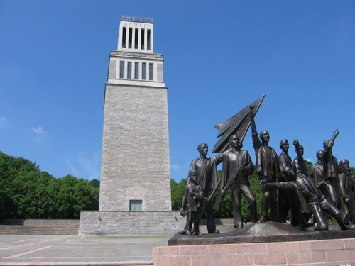
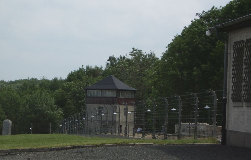
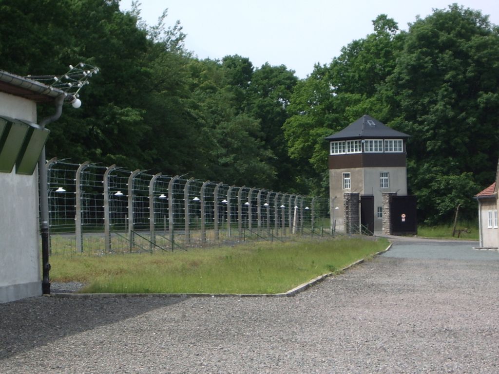
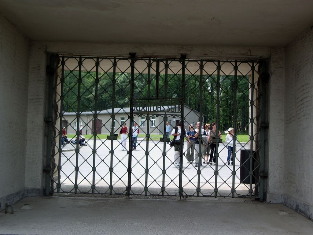
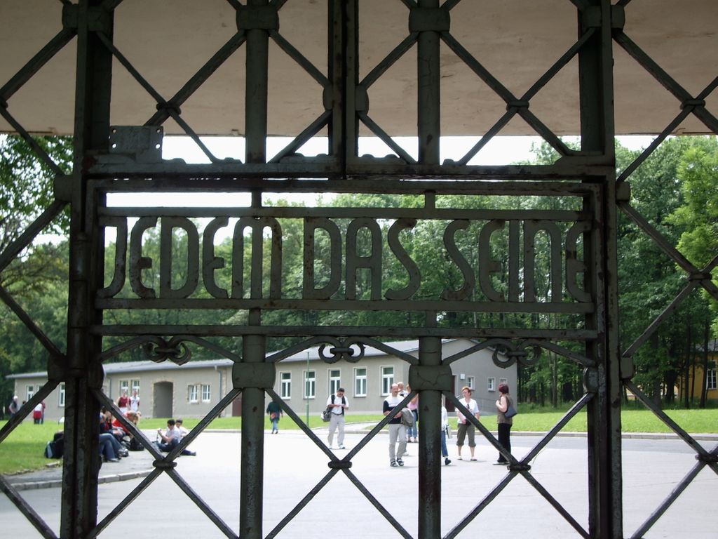
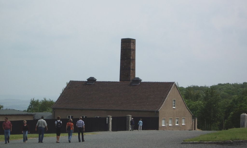
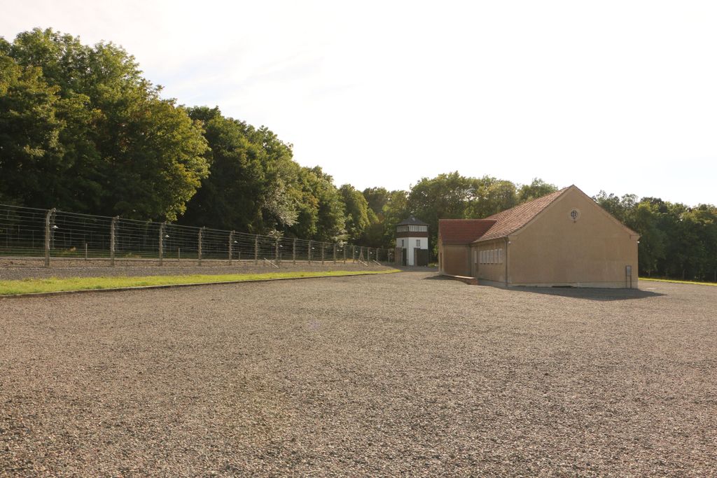
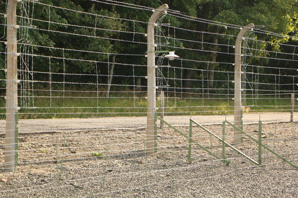
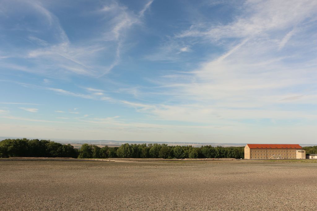
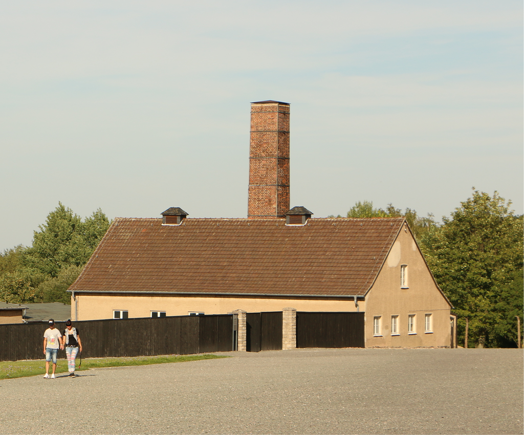
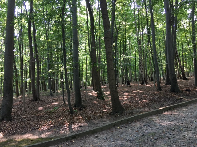
| Description | : | Buchenwald Concentration Camp was a German Camp established near Weimar, Germany in July of 1937. The main entrance gate had the engraved slogan, "Jedem das Seine" (literally "to each his own." Originally the camp was named after the hill Ettersberg but it was later renamed to Buchenwald (German for beech forest) in honor of Johann Wolfgang von Goethe. Goethe Eiche (Goethe's Oak) stood inside the camp's perimeter, and the stump of the tree is preserved as part of the memorial at KZ Buchenwald. Between April 1938 and April 1945, some 238,380 people of various nationalities including 350 Western Allied POWs were... Read More |
frequently asked questions (FAQ):
-
Where is Buchenwald Concentration Camp Memorial?
Buchenwald Concentration Camp Memorial is located at Gedenkstätte Buchenwald Buchenwald, Stadtkreis Weimar ,Thüringen , 99427Germany.
-
Buchenwald Concentration Camp Memorial cemetery's updated grave count on graveviews.com?
0 memorials
-
Where are the coordinates of the Buchenwald Concentration Camp Memorial?
Latitude: 51.0108300
Longitude: 11.2590400

Nearby Cemetories:
1. Saint Jacobs Church
Weimar, Stadtkreis Weimar, Germany
Coordinate: 50.9834240, 11.3273470
2. Jakobsfriedhof
Weimar, Stadtkreis Weimar, Germany
Coordinate: 50.9832687, 11.3274193
3. Herderkirche
Weimar, Stadtkreis Weimar, Germany
Coordinate: 50.9811211, 11.3292322
4. Alter Friedhof Weimar
Weimar, Stadtkreis Weimar, Germany
Coordinate: 50.9727364, 11.3257027
5. Neuer Friedhof
Weimar, Stadtkreis Weimar, Germany
Coordinate: 50.9687660, 11.3217030
6. Friedhof Oßmannstedt
Landkreis Weimarer Land, Germany
Coordinate: 51.0155840, 11.4252460
7. Wielandgut Oßmannstedt
Landkreis Weimarer Land, Germany
Coordinate: 51.0143060, 11.4289020
8. St. Peter's Church Cemetery
Landkreis Weimarer Land, Germany
Coordinate: 51.0188710, 11.4309150
9. Friedhof Bad Berka
Hetschburg, Landkreis Weimarer Land, Germany
Coordinate: 50.9021500, 11.2823000
10. Dorfkirche
Kapellendorf, Landkreis Weimarer Land, Germany
Coordinate: 50.9750000, 11.4680560
11. Hohenfelden Evangelical Lutheran Cemetery
Hohenfelden, Landkreis Weimarer Land, Germany
Coordinate: 50.8792920, 11.1598990
12. Schottenkirche St. Nicolai und St. Jacobi
Erfurt, Stadtkreis Erfurt, Germany
Coordinate: 50.9797220, 11.0327780
13. Augustinerkirche
Erfurt, Stadtkreis Erfurt, Germany
Coordinate: 50.9814580, 11.0301280
14. Franciscan Friary
Erfurt, Stadtkreis Erfurt, Germany
Coordinate: 50.9755480, 11.0302310
15. Barfüßerkirche
Erfurt, Stadtkreis Erfurt, Germany
Coordinate: 50.9755560, 11.0300000
16. Predigerkirche
Erfurt, Stadtkreis Erfurt, Germany
Coordinate: 50.9766670, 11.0291670
17. Friedhof Grossneuhausen
Grossneuhausen, Landkreis Sömmerda, Germany
Coordinate: 51.1611970, 11.2814600
18. Erfurter Dom
Erfurt, Stadtkreis Erfurt, Germany
Coordinate: 50.9758100, 11.0233400
19. Martinskirche
Apolda, Landkreis Weimarer Land, Germany
Coordinate: 51.0241670, 11.5108330
20. Friedhof Sömmerda
Sömmerda, Landkreis Sömmerda, Germany
Coordinate: 51.1581180, 11.1265000
21. Städtischer Friedhof
Apolda, Landkreis Weimarer Land, Germany
Coordinate: 51.0227320, 11.5318540
22. Hauptfriedhof
Erfurt, Stadtkreis Erfurt, Germany
Coordinate: 50.9699750, 10.9893130
23. Friedhof Rastenberg
Rastenberg, Landkreis Sömmerda, Germany
Coordinate: 51.1727014, 11.4251658
24. Elxleben Evangelical Lutheran Cemetery
Elxleben, Landkreis Sömmerda, Germany
Coordinate: 50.8664818, 11.0542631