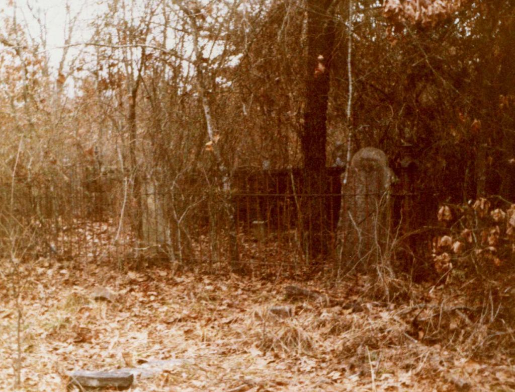
| Memorials | : | 0 |
| Location | : | Meg, Franklin County, USA |
| Coordinate | : | 35.4053001, -93.8814011 |
| Description | : | AKA Abijah Burcham Cemetery- Located east of Meg. On country road #48, go 3.2 miles north of lowes Creek Cemetery, turn right on country road #49 and go .1 mile and park. Walk about 100 feet north of the road in the woods. Cemetery transcribed and Photographed by Sue Clark and Virginia McPhain in 1984/1985. Vera Ryker gave information on field stones. |
frequently asked questions (FAQ):
-
Where is Burcham Cemetery?
Burcham Cemetery is located at Meg, Franklin County ,Arkansas ,USA.
-
Burcham Cemetery cemetery's updated grave count on graveviews.com?
0 memorials
-
Where are the coordinates of the Burcham Cemetery?
Latitude: 35.4053001
Longitude: -93.8814011
Nearby Cemetories:
1. Cemetery Ridge
Etna, Franklin County, USA
Coordinate: 35.3967018, -93.8469009
2. Crossno Cemetery
Branch, Franklin County, USA
Coordinate: 35.3699989, -93.8786011
3. Gage Cemetery
Etna, Franklin County, USA
Coordinate: 35.4387500, -93.8602000
4. Price Springs Cemetery
Cecil, Franklin County, USA
Coordinate: 35.4282990, -93.9182968
5. Mount Hope Cemetery
Etna, Franklin County, USA
Coordinate: 35.3643770, -93.8812900
6. Etna Church of Christ Cemetery
Etna, Franklin County, USA
Coordinate: 35.3702000, -93.8491000
7. Morgan Hill Cemetery
Ozark, Franklin County, USA
Coordinate: 35.4418983, -93.8491974
8. Council Cemetery
Caulksville, Logan County, USA
Coordinate: 35.3609216, -93.9004775
9. Council Cemetery
Franklin County, USA
Coordinate: 35.3608017, -93.9002991
10. Lowes Creek Cemetery
Peter Pender, Franklin County, USA
Coordinate: 35.3773000, -93.9331000
11. Oak Bend Cemetery
Franklin County, USA
Coordinate: 35.4463800, -93.8409600
12. Pilot Grove Cemetery
Ozark, Franklin County, USA
Coordinate: 35.4272003, -93.8221970
13. Cecil Cemetery
Cecil, Franklin County, USA
Coordinate: 35.4390000, -93.9383000
14. William Andrews Cemetery
Cecil, Franklin County, USA
Coordinate: 35.4384700, -93.9446900
15. Berkley Cemetery
Cecil, Franklin County, USA
Coordinate: 35.4277992, -93.9535980
16. Kersey Cemetery
Franklin County, USA
Coordinate: 35.3321991, -93.8811035
17. Carpenter Cemetery
Ozark, Franklin County, USA
Coordinate: 35.3474998, -93.8264008
18. King Cemetery
Peter Pender, Franklin County, USA
Coordinate: 35.3608017, -93.9552994
19. Patterson Cemetery
Franklin County, USA
Coordinate: 35.3810997, -93.9741974
20. Stiles Cemetery
Branch, Franklin County, USA
Coordinate: 35.3226890, -93.8915630
21. Browns Chapel Cemetery
Cecil, Franklin County, USA
Coordinate: 35.4105988, -93.9832993
22. Moffett Cemetery
Franklin County, USA
Coordinate: 35.3278008, -93.9207993
23. English Cemetery
Ozark, Franklin County, USA
Coordinate: 35.4413700, -93.7883840
24. Liberty Cemetery
Denning, Franklin County, USA
Coordinate: 35.4305992, -93.7799988

