
| Memorials | : | 1 |
| Location | : | Monroe, Amherst County, USA |
| Coordinate | : | 37.4906030, -79.1490660 |
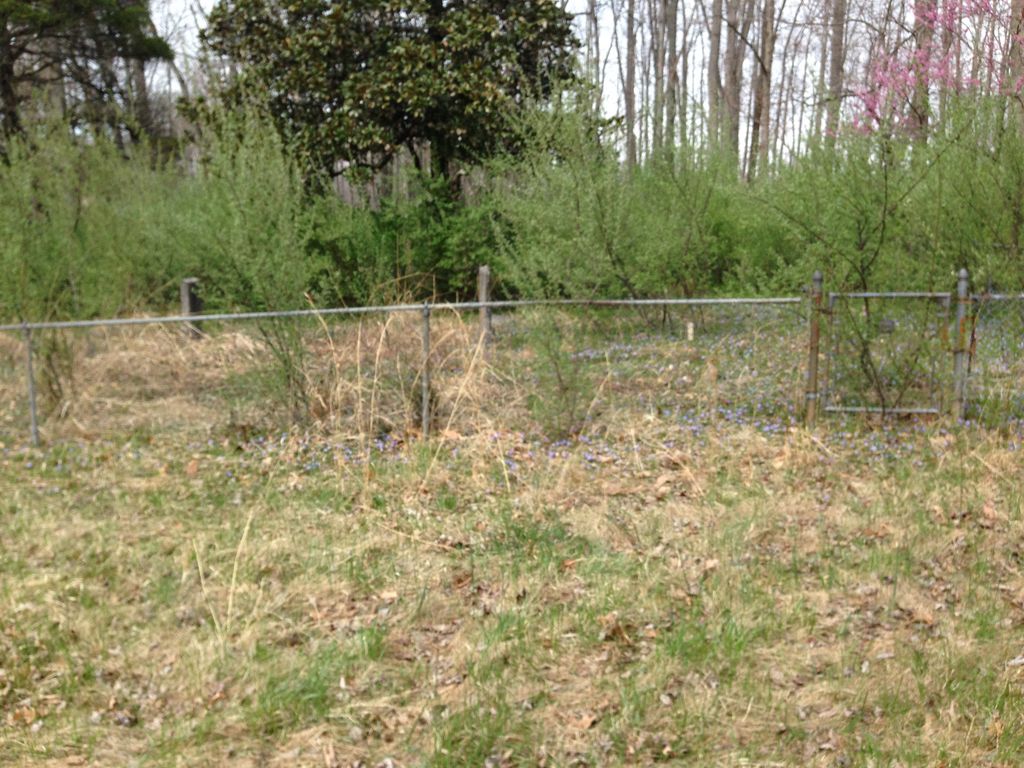
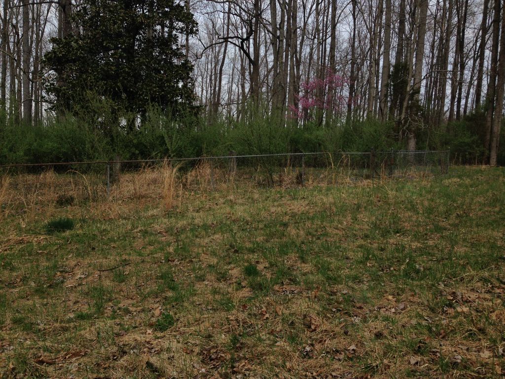
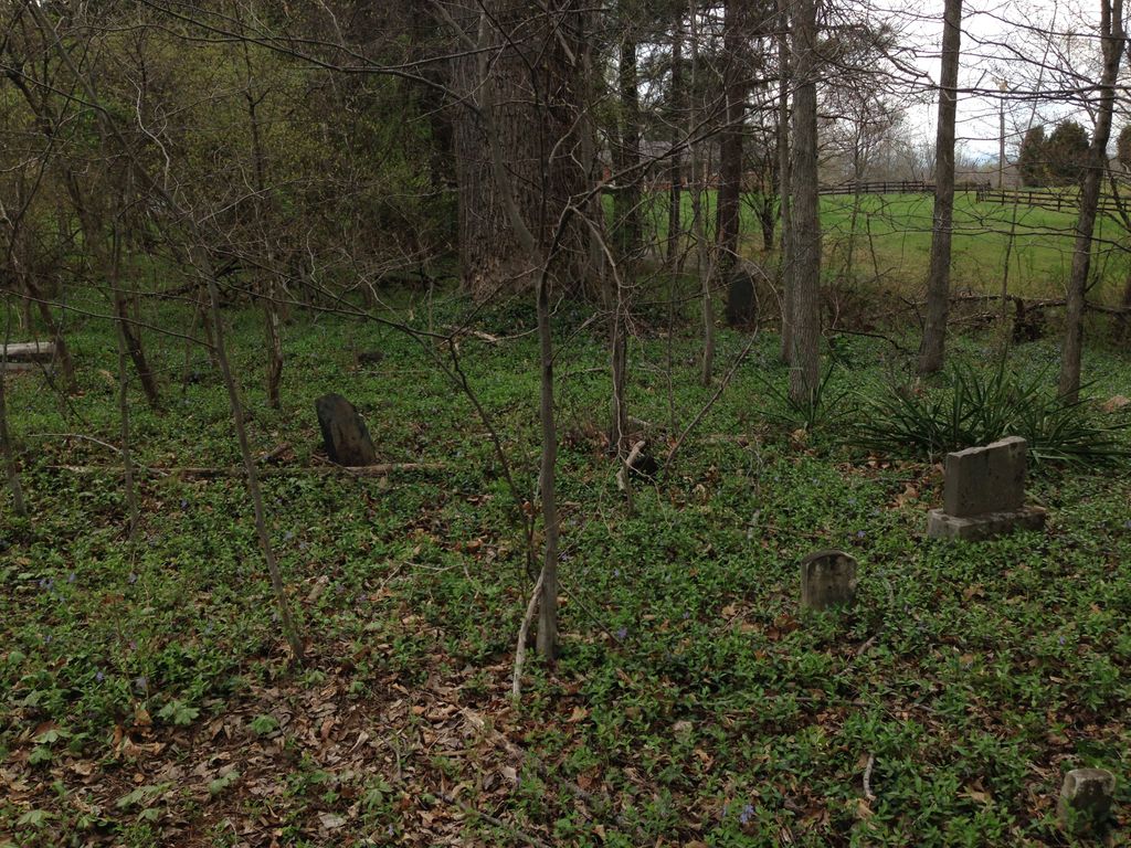
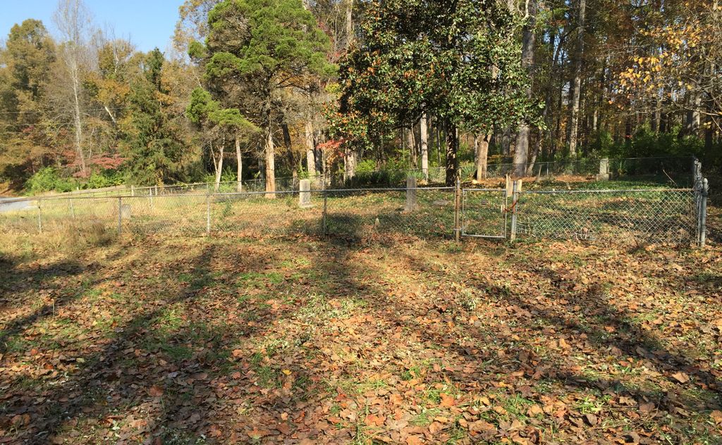
| Description | : | Lovation: US 29 S to Winesap Road (675). Cross the bridge over the railroad and go approximately 200 yds. The cemetery can be seen on the right which is fenced in. Note: There are other graves in the grove of trees across the road from the visable cemetery. However most of these are illegible. |
frequently asked questions (FAQ):
-
Where is Burford Chapel Cemetery?
Burford Chapel Cemetery is located at Winesap Road (Rt. 675) Monroe, Amherst County ,Virginia , 24574USA.
-
Burford Chapel Cemetery cemetery's updated grave count on graveviews.com?
0 memorials
-
Where are the coordinates of the Burford Chapel Cemetery?
Latitude: 37.4906030
Longitude: -79.1490660
Nearby Cemetories:
1. Long Family Cemetery
Winesap, Amherst County, USA
Coordinate: 37.4833120, -79.1578650
2. McIvor-Steen-Cox Cemetery
Monroe, Amherst County, USA
Coordinate: 37.4927950, -79.1325850
3. Rising Sun Missionary Baptist Church Cemetery
Monroe, Amherst County, USA
Coordinate: 37.5086520, -79.1442890
4. Steen Family Cemetery
Monroe, Amherst County, USA
Coordinate: 37.4868110, -79.1260080
5. Mount Sinai Baptist Church Cemetery
Madison Heights, Amherst County, USA
Coordinate: 37.4718370, -79.1427750
6. Shelton-Ellis-Watts Cemetery
Monroe, Amherst County, USA
Coordinate: 37.5066801, -79.1636774
7. Street Cemetery
Madison Heights, Amherst County, USA
Coordinate: 37.5052030, -79.1666470
8. McIvor Cemetery
Monroe, Amherst County, USA
Coordinate: 37.4988160, -79.1220280
9. New Hope Cemetery
Madison Heights, Amherst County, USA
Coordinate: 37.4824982, -79.1216965
10. Monroe Church Of God Cemetery
Monroe, Amherst County, USA
Coordinate: 37.5006640, -79.1213010
11. Campbell Cemetery
Monroe, Amherst County, USA
Coordinate: 37.5036011, -79.1175003
12. Hicks Cemetery
Amherst County, USA
Coordinate: 37.5150500, -79.1264300
13. Cedar Gate Rd Cemetery
Elon, Amherst County, USA
Coordinate: 37.5231830, -79.1497590
14. Union Christian Church Cemetery
Madison Heights, Amherst County, USA
Coordinate: 37.4614560, -79.1726680
15. Scott Cemetery
Madison Heights, Amherst County, USA
Coordinate: 37.4612990, -79.1727470
16. Coolwell First Baptist Church Cemetery
Amherst, Amherst County, USA
Coordinate: 37.4935040, -79.1027120
17. Bethany United Methodist Cemetery
Monroe, Amherst County, USA
Coordinate: 37.5292190, -79.1453680
18. Bolling Hill Baptist Church Cemetery
Coolwell, Amherst County, USA
Coordinate: 37.4963800, -79.0995140
19. Tyree Family Cemetery
Madison Heights, Amherst County, USA
Coordinate: 37.4469560, -79.1510890
20. Elon Baptist Church Cemetery
Elon, Amherst County, USA
Coordinate: 37.5148820, -79.1950660
21. Elon Presbyterian Church Cemetery
Elon, Amherst County, USA
Coordinate: 37.5183510, -79.1939170
22. Hudson Cemetery
Madison Heights, Amherst County, USA
Coordinate: 37.5288710, -79.1820040
23. Lone Pine Cemetery
Madison Heights, Amherst County, USA
Coordinate: 37.4837490, -79.0900990
24. Mitchell - Wood Family Cemetery
Madison Heights, Amherst County, USA
Coordinate: 37.4476470, -79.1189990