
| Memorials | : | 0 |
| Location | : | Montgomery, Le Sueur County, USA |
| Coordinate | : | 44.4531100, -93.5769500 |
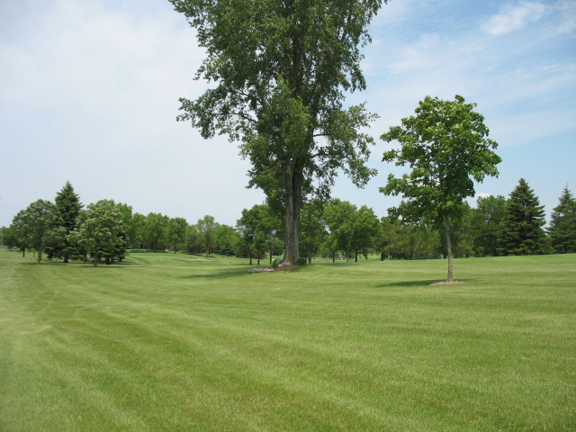
| Description | : | The Alfred Burii/Bury farm, originally owned by pioneers Bendicht and Barbara Burii, is now the site of Montgomery National Golf Course. Bendhict and Barbara were buried on the farm; their headstones are located under a cottonwood tree just off the first fairway. |
frequently asked questions (FAQ):
-
Where is Burii Farm Cemetery?
Burii Farm Cemetery is located at 900 Rogers Drive Montgomery, Le Sueur County ,Minnesota , 56069USA.
-
Burii Farm Cemetery cemetery's updated grave count on graveviews.com?
0 memorials
-
Where are the coordinates of the Burii Farm Cemetery?
Latitude: 44.4531100
Longitude: -93.5769500
Nearby Cemetories:
1. Calvary Cemetery
Montgomery, Le Sueur County, USA
Coordinate: 44.4444008, -93.5841980
2. Saint John Lutheran Cemetery
Montgomery, Le Sueur County, USA
Coordinate: 44.4421997, -93.6211014
3. Saint Johns Catholic Cemetery
Montgomery, Le Sueur County, USA
Coordinate: 44.4361800, -93.6260900
4. Czech National Cemetery
Montgomery, Le Sueur County, USA
Coordinate: 44.4180984, -93.6057968
5. Elizabeth Dietz Burial Site
Le Sueur County, USA
Coordinate: 44.5043410, -93.5768440
6. Saint Scholastica Catholic Cemetery
Heidelberg, Le Sueur County, USA
Coordinate: 44.4930153, -93.6310959
7. Saint Michael Cemetery
Kilkenny, Le Sueur County, USA
Coordinate: 44.3889008, -93.5547028
8. French Catholic Cemetery
Wheatland, Rice County, USA
Coordinate: 44.4858550, -93.4935120
9. Pomeranian Cemetery
Heidelberg, Le Sueur County, USA
Coordinate: 44.5013810, -93.6536033
10. Derrynane Lutheran Church Cemetery
Le Sueur County, USA
Coordinate: 44.5013890, -93.6536110
11. Saint Joseph Catholic Cemetery
Lexington, Le Sueur County, USA
Coordinate: 44.4537392, -93.6914825
12. Friedens Evangelical Lutheran Church Cemetery
Le Sueur County, USA
Coordinate: 44.5294140, -93.6286800
13. Yankee Cemetery
Le Sueur County, USA
Coordinate: 44.4458008, -93.6971970
14. Czech National Cemetery
New Prague, Scott County, USA
Coordinate: 44.5440990, -93.5897790
15. Saint Wenceslaus Cemetery
New Prague, Scott County, USA
Coordinate: 44.5480003, -93.5749969
16. Greenwood Union Cemetery
Le Center, Le Sueur County, USA
Coordinate: 44.3913994, -93.6860962
17. Saint Johns Cemetery
Veseli, Rice County, USA
Coordinate: 44.5158005, -93.4674988
18. Holy Trinity Cemetery
Veseli, Rice County, USA
Coordinate: 44.5174128, -93.4621822
19. Calvary Hill Cemetery
Lonsdale, Rice County, USA
Coordinate: 44.4706001, -93.4282990
20. Saint Johns Cemetery
Union Hill, Le Sueur County, USA
Coordinate: 44.5436600, -93.6671400
21. Czech National Cemetery
Lonsdale, Rice County, USA
Coordinate: 44.4863100, -93.4256100
22. Trebon Cemetery
Rice County, USA
Coordinate: 44.3552933, -93.4827423
23. Trondhjem Cemetery
Rice County, USA
Coordinate: 44.4638901, -93.4019394
24. Calvary Cemetery
Le Center, Le Sueur County, USA
Coordinate: 44.3943450, -93.7380610