
| Memorials | : | 4 |
| Location | : | Alburgh, Grand Isle County, USA |
| Coordinate | : | 44.9880981, -73.2953033 |
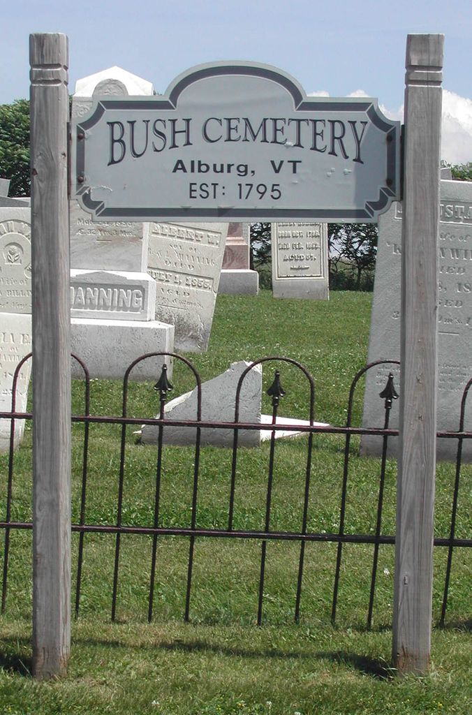
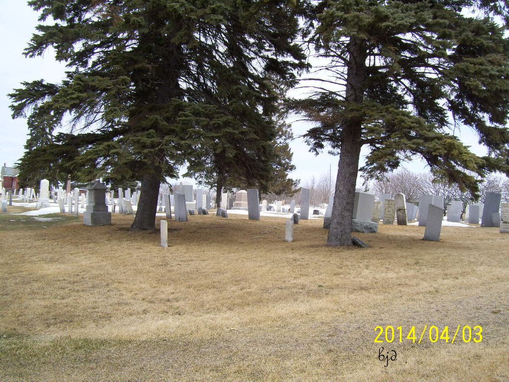
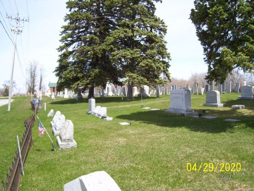
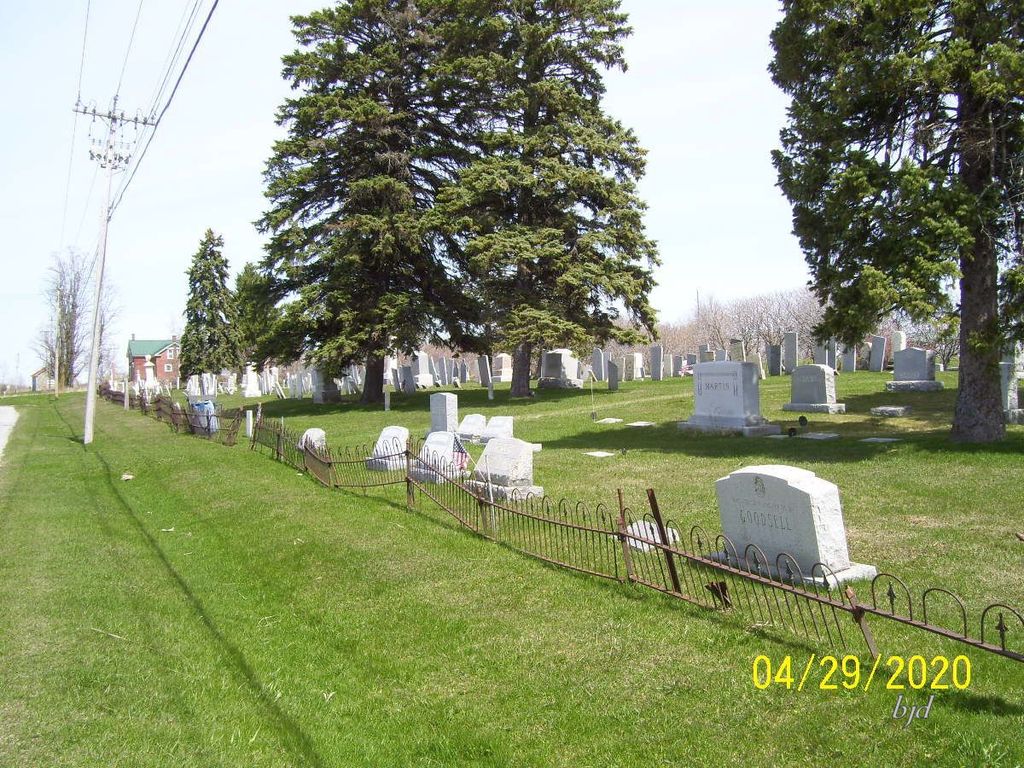
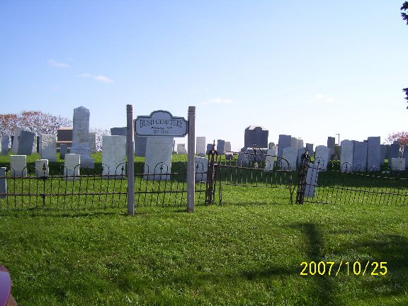
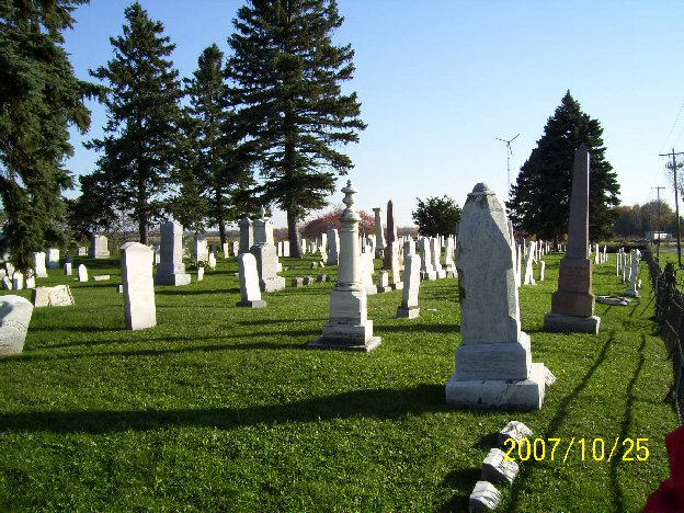
| Description | : | The Bush Cemetery is one of the oldest cemeteries in Alburgh, VT. It is located about 3/4 of a mile north of Alburgh village just off US Route 2. The earliest known burial was that of Margaret Mott in 1789. In 1804, Gabriel Manning deeded land for the cemetery to the town of Alburgh. The cemetery is well maintained. Some of the older stones have been re-set or repaired. Others are quite eroded, making them difficult to read. Allen Stratton, in his History of Alburgh, Vermont (1986) included a transcription of the Bush Cemetery gravestones completed about 1945. |
frequently asked questions (FAQ):
-
Where is Bush Cemetery?
Bush Cemetery is located at Alburgh, Grand Isle County ,Vermont ,USA.
-
Bush Cemetery cemetery's updated grave count on graveviews.com?
4 memorials
-
Where are the coordinates of the Bush Cemetery?
Latitude: 44.9880981
Longitude: -73.2953033
Nearby Cemetories:
1. Griggs-Steel Pioneer Cemetery
Noyan, Monteregie Region, Canada
Coordinate: 45.0111680, -73.3324440
2. Saint Amadeus Cemetery
Alburg Center, Grand Isle County, USA
Coordinate: 44.9533005, -73.2827988
3. Alburg Center Cemetery
Alburg Center, Grand Isle County, USA
Coordinate: 44.9563500, -73.2664200
4. Greenwood Cemetery
Alburgh, Grand Isle County, USA
Coordinate: 45.0060997, -73.2433014
5. Third Concession Cemetery - Caldwell Manor
Noyan, Monteregie Region, Canada
Coordinate: 45.0377320, -73.2919940
6. Reynolds Cemetery
East Alburg, Grand Isle County, USA
Coordinate: 44.9833894, -73.2235779
7. Sowles Cemetery
Alburgh, Grand Isle County, USA
Coordinate: 44.9948000, -73.2236800
8. Saint Patrick's Cemetery
Rouses Point, Clinton County, USA
Coordinate: 44.9947014, -73.3758011
9. Maple Hill Cemetery
Rouses Point, Clinton County, USA
Coordinate: 44.9831009, -73.3803024
10. Hayford Cemetery
Champlain, Clinton County, USA
Coordinate: 44.9614200, -73.3806100
11. Tabor Cemetery
West Swanton, Franklin County, USA
Coordinate: 44.9494019, -73.2069016
12. Saint Thomas Anglican Church Cemetery
Noyan, Monteregie Region, Canada
Coordinate: 45.0644500, -73.2992600
13. Clarenceville Catholic Cemetery
Clarenceville, Monteregie Region, Canada
Coordinate: 45.0631590, -73.2548140
14. Union Cemetery
Clarenceville, Monteregie Region, Canada
Coordinate: 45.0635490, -73.2546900
15. North End Cemetery
Swanton, Franklin County, USA
Coordinate: 44.9777985, -73.1817017
16. Saint Georges Anglican Cemetery
Clarenceville, Monteregie Region, Canada
Coordinate: 45.0639880, -73.2467170
17. Reynolds - McGregor Cemetery
Alburgh, Grand Isle County, USA
Coordinate: 44.9045200, -73.3120000
18. Odelltown Methodist Cemetery
Odelltown, Monteregie Region, Canada
Coordinate: 45.0426100, -73.3875800
19. Southridge Cemetery
Aird, Monteregie Region, Canada
Coordinate: 45.0410780, -73.1995340
20. Burying Yard Point Cemetery
Isle la Motte, Grand Isle County, USA
Coordinate: 44.9019400, -73.3202900
21. Saint Joseph's Cemetery
Coopersville, Clinton County, USA
Coordinate: 44.9478400, -73.4113400
22. Dairy Valley Cemetery
Dairy Valley, Monteregie Region, Canada
Coordinate: 45.0632380, -73.2133310
23. Saint Anne’s Shrine Columbarium
Isle la Motte, Grand Isle County, USA
Coordinate: 44.9000090, -73.3477010
24. Wileys Point South Cemetery
Clinton County, USA
Coordinate: 44.9115000, -73.3769010