
| Memorials | : | 86 |
| Location | : | Seneca Township, Monroe County, USA |
| Coordinate | : | 39.8489000, -81.2753000 |
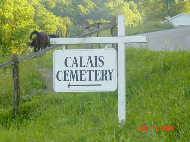
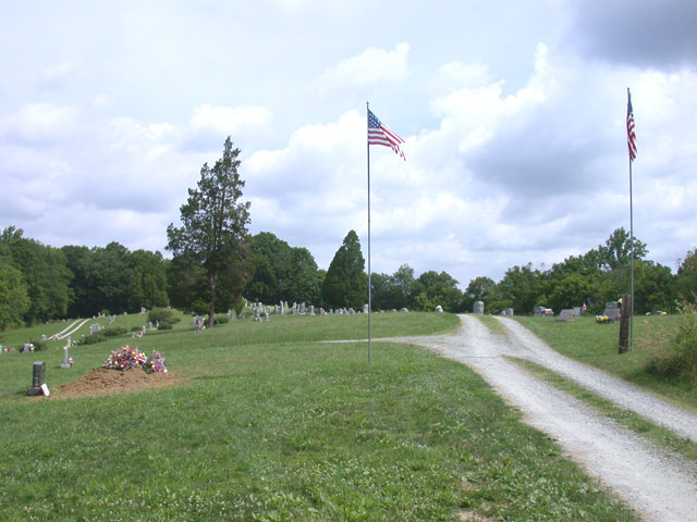
| Description | : | The cemetery is located at the north end of Township Road 2786 about 0.2 miles north of its intersection with Cemetery Hill Road (County Road 35). The cemetery was established in 1850 and is 3.18 acres in size. The cemetery is located in Seneca Township, Monroe County, Ohio, and is # 8174 (Calais Cemetery) in “Ohio Cemeteries 1803-2003”, compiled by the Ohio Genealogical Society. The cemetery is registered with the Ohio Division of Real Estate and Professional Licensing (ODRE) as Sacred Heart Cemetery with registration license number CGR.0000981568. The U.S. Geological Survey (USGS) Geographic Names Information System (GNIS)... Read More |
frequently asked questions (FAQ):
-
Where is Calais Cemetery?
Calais Cemetery is located at Township Road 2786 Seneca Township, Monroe County ,Ohio , 43788USA.
-
Calais Cemetery cemetery's updated grave count on graveviews.com?
77 memorials
-
Where are the coordinates of the Calais Cemetery?
Latitude: 39.8489000
Longitude: -81.2753000
Nearby Cemetories:
1. Atkinson Cemetery
Calais, Monroe County, USA
Coordinate: 39.8562200, -81.2749600
2. E W Carpenter Cemetery
Calais, Monroe County, USA
Coordinate: 39.8611000, -81.2849200
3. Aaron Cemetery
Calais, Monroe County, USA
Coordinate: 39.8417015, -81.2936020
4. Stephen Cemetery
Calais, Monroe County, USA
Coordinate: 39.8519400, -81.2547500
5. Hannash Cemetery
Calais, Monroe County, USA
Coordinate: 39.8466988, -81.3024979
6. Brister Cemetery
Calais, Monroe County, USA
Coordinate: 39.8257100, -81.2629900
7. Coultas Family Cemetery
Noble County, USA
Coordinate: 39.8778720, -81.2543570
8. Chapel Hill Cemetery
Burkhart, Monroe County, USA
Coordinate: 39.8093987, -81.2583008
9. Danford Cemetery
Monroe County, USA
Coordinate: 39.8119011, -81.3039017
10. Beaver Baptist Cemetery
Noble County, USA
Coordinate: 39.8936800, -81.2937200
11. Carpenter Cemetery
Batesville, Noble County, USA
Coordinate: 39.8981820, -81.2719680
12. Bethesda Cemetery
Noble County, USA
Coordinate: 39.8697014, -81.3339005
13. Palestine Church of Christ Cemetery
Batesville, Noble County, USA
Coordinate: 39.8980310, -81.3035170
14. Watson Cemetery
Noble County, USA
Coordinate: 39.8641470, -81.3454090
15. Pierce Cemetery
Batesville, Noble County, USA
Coordinate: 39.9049460, -81.2607410
16. Morris Cemetery
Miltonsburg, Monroe County, USA
Coordinate: 39.8424800, -81.2006400
17. Glady Cemetery
Whigville, Noble County, USA
Coordinate: 39.8579000, -81.3497010
18. Saint Josephs Roman Catholic Church Cemetery
Summit Township, Monroe County, USA
Coordinate: 39.7882750, -81.2620940
19. German Cemetery
Monroe County, USA
Coordinate: 39.8100014, -81.2125015
20. Eastern Cemetery
Summerfield, Noble County, USA
Coordinate: 39.8015100, -81.3316920
21. Saint Mary Catholic Cemetery
Batesville, Noble County, USA
Coordinate: 39.9123700, -81.2590100
22. Batesville Cemetery
Batesville, Noble County, USA
Coordinate: 39.9138520, -81.2750160
23. Old Batesville Methodist Cemetery
Batesville, Noble County, USA
Coordinate: 39.9140930, -81.2809770
24. Saint Johns Cemetery
Summit Township, Monroe County, USA
Coordinate: 39.8020164, -81.2159442