
| Memorials | : | 0 |
| Location | : | Eaton, Preble County, USA |
| Coordinate | : | 39.7172740, -84.6224530 |
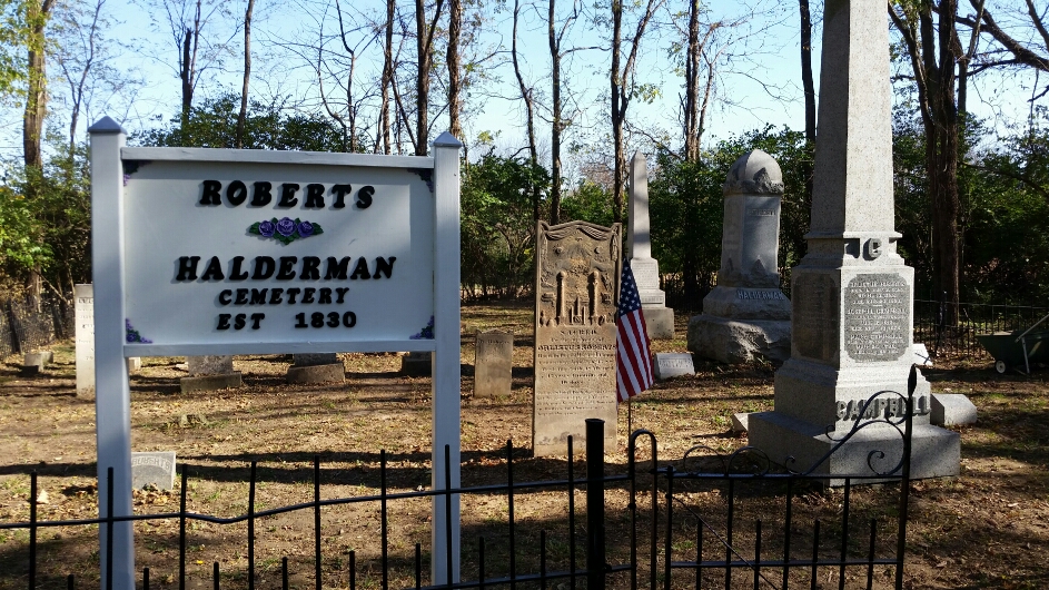
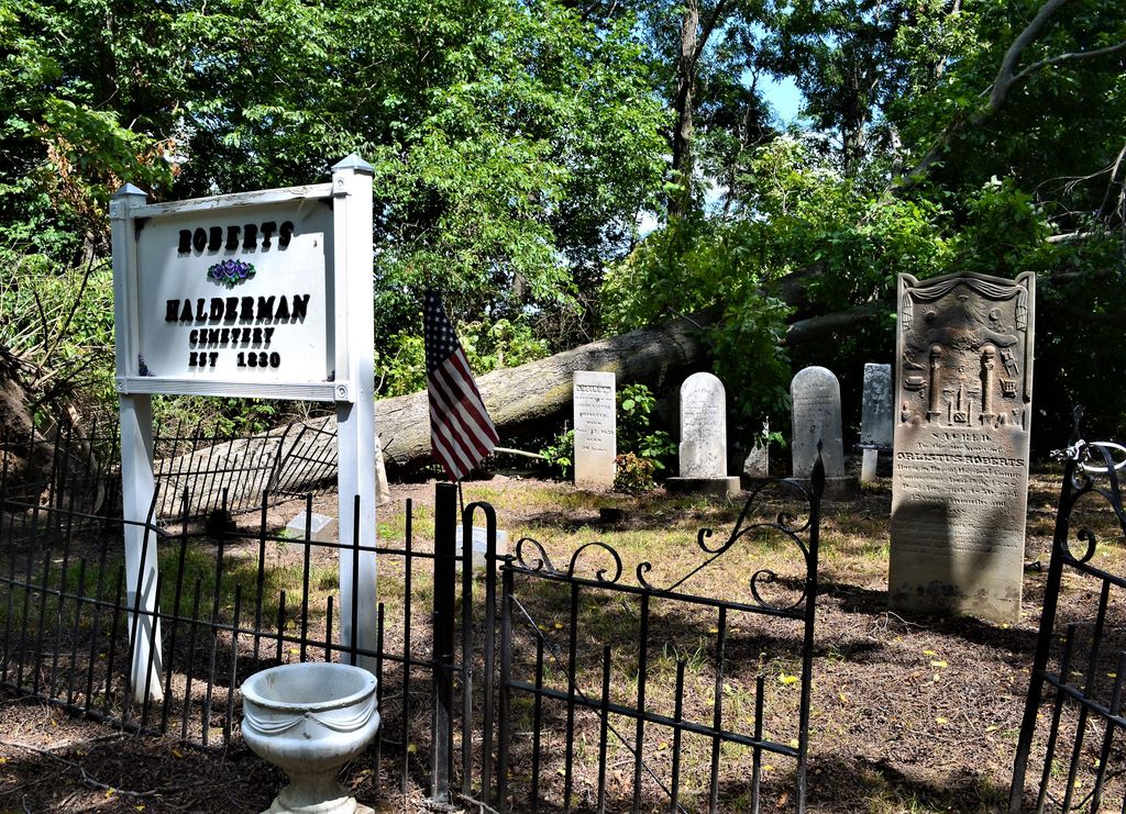
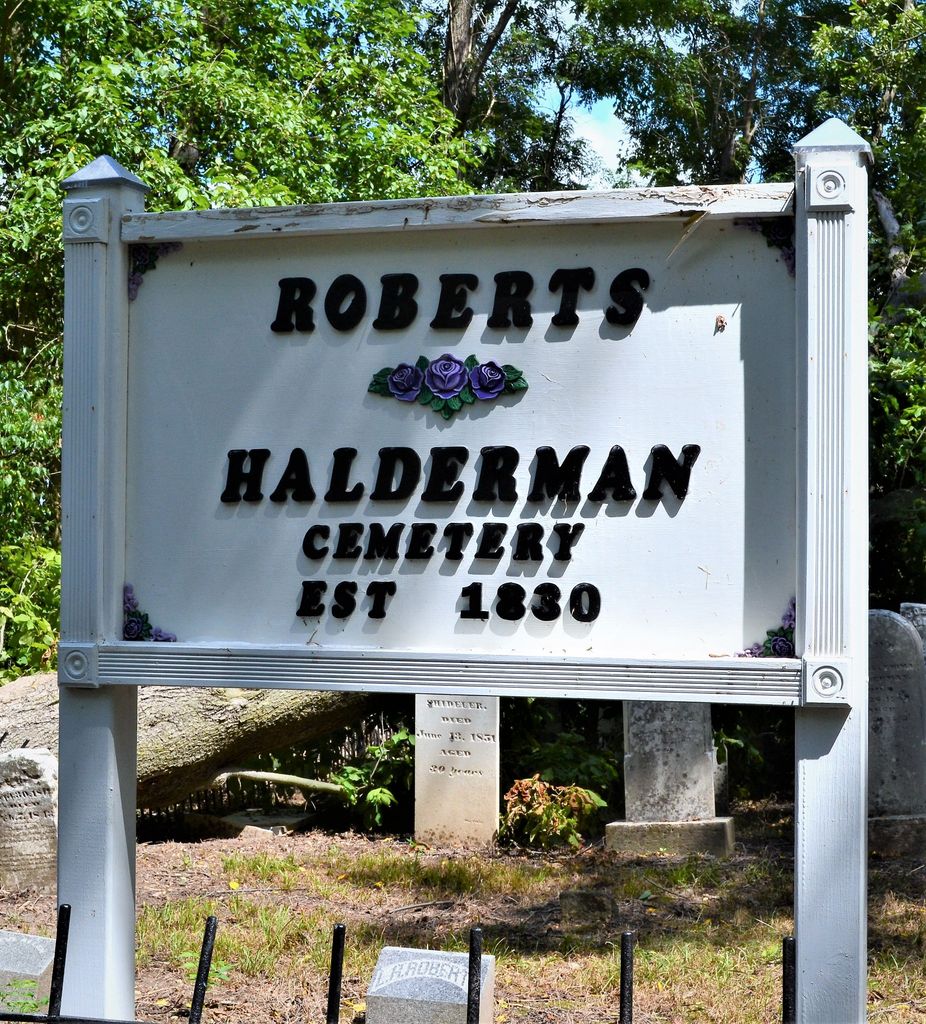
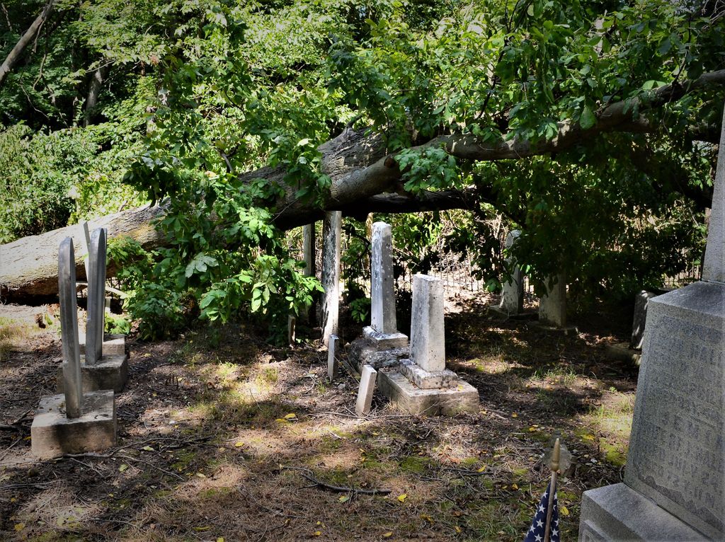
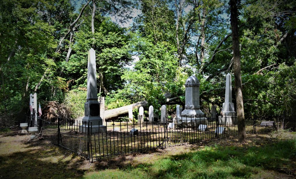
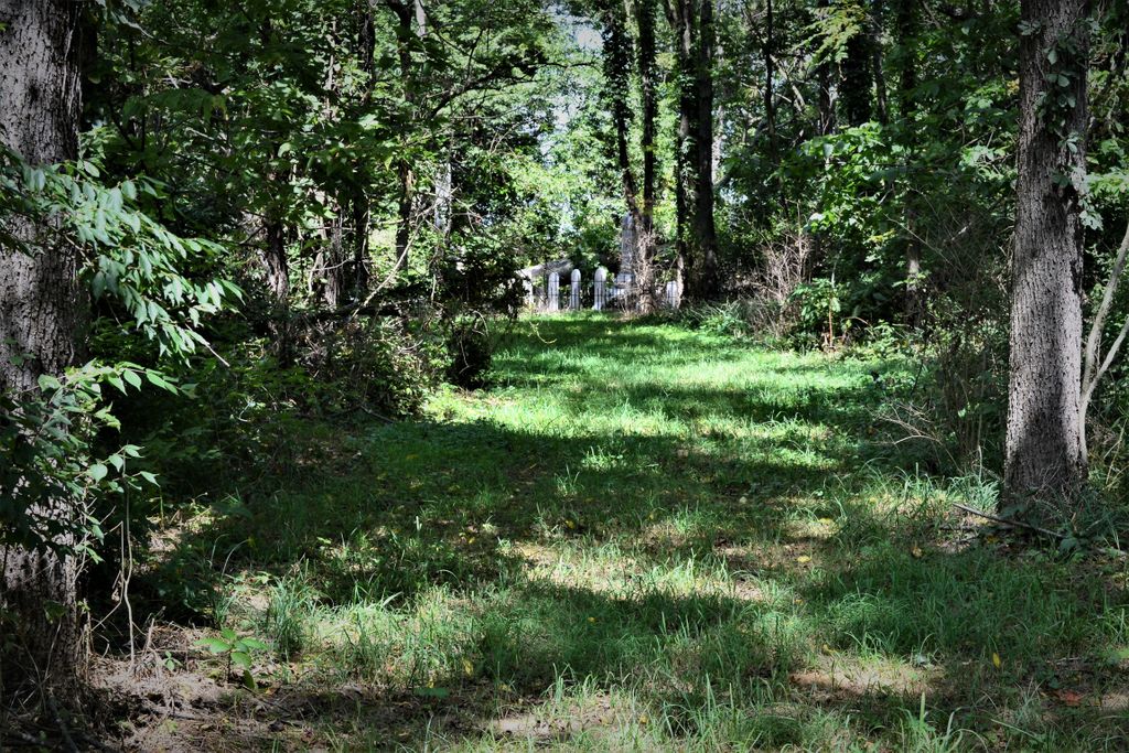
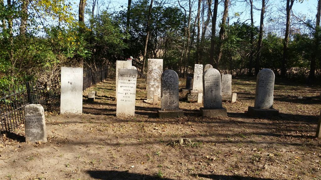
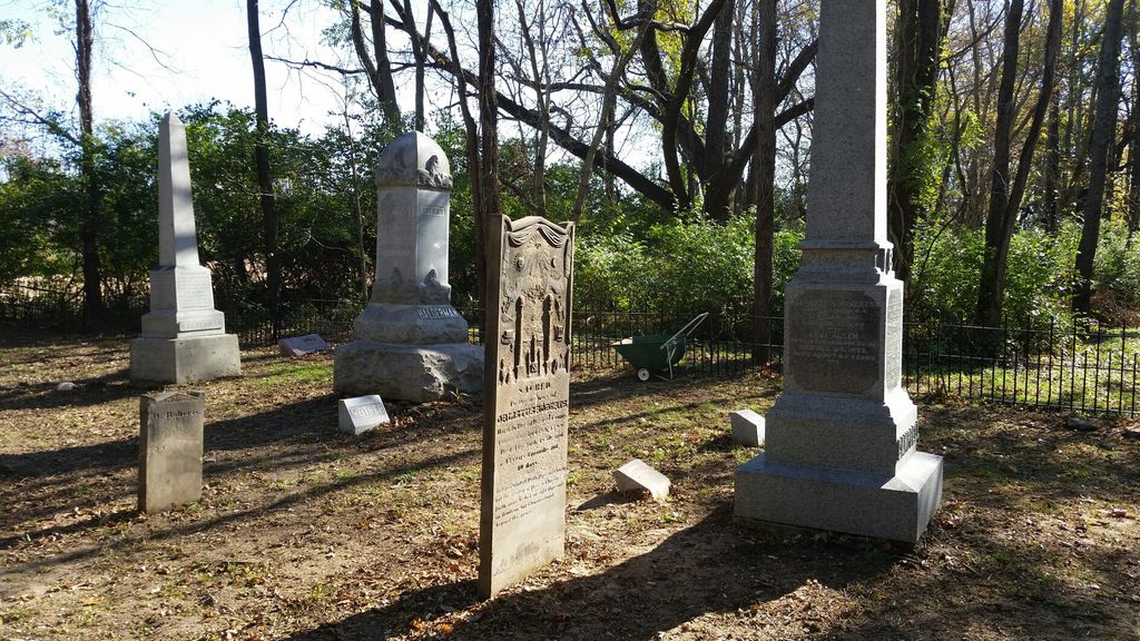
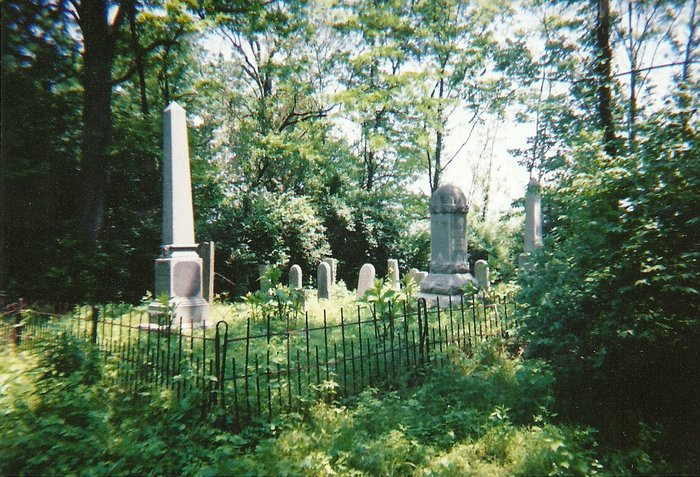
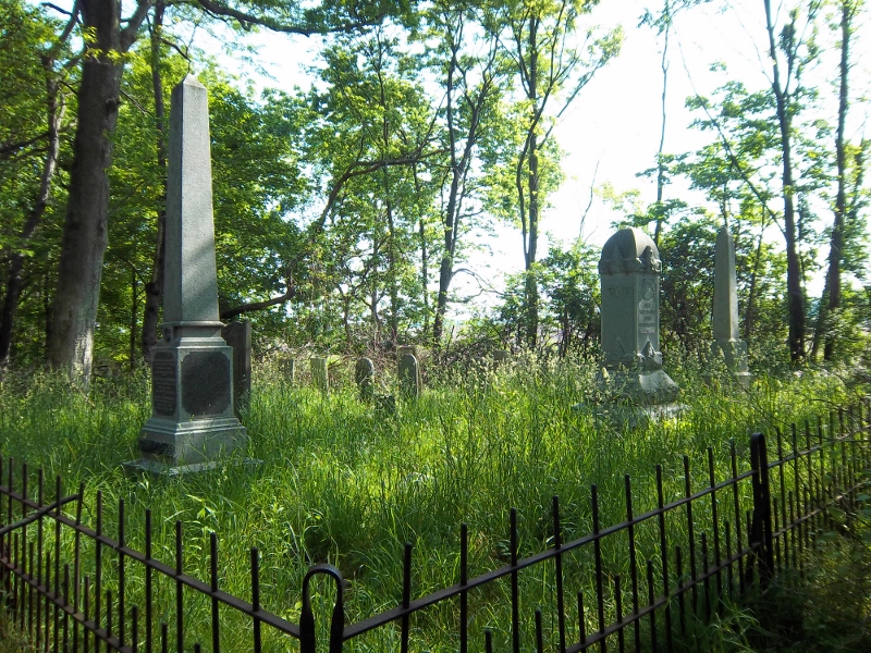
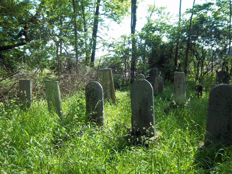
| Description | : | The cemetery is on the east side of Old Camden Pike (Township Road 287) about 1700 feet north of its intersection with Consolidated Road (County Road 97). The cemetery is located in Washington Township, Preble County, Ohio, and is # 10083 in “Ohio Cemeteries 1803-2003”, compiled by the Ohio Genealogical Society. The U.S. Geological Survey (USGS) Geographic Names Information System (GNIS) feature ID for the cemetery is 1961417 (Campbell Cemetery). |
frequently asked questions (FAQ):
-
Where is Campbell Cemetery?
Campbell Cemetery is located at 1005 Old Camden Pike Eaton, Preble County ,Ohio , 45320USA.
-
Campbell Cemetery cemetery's updated grave count on graveviews.com?
0 memorials
-
Where are the coordinates of the Campbell Cemetery?
Latitude: 39.7172740
Longitude: -84.6224530
Nearby Cemetories:
1. Fisher Cemetery
Eaton, Preble County, USA
Coordinate: 39.7289400, -84.6185600
2. Antioch Cemetery
Eaton, Preble County, USA
Coordinate: 39.7000008, -84.6318970
3. Mound Hill Cemetery
Eaton, Preble County, USA
Coordinate: 39.7411003, -84.6461029
4. Fort Saint Clair Cemetery
Preble County, USA
Coordinate: 39.7374992, -84.6549988
5. Fisher Cemetery
West Alexandria, Preble County, USA
Coordinate: 39.7267200, -84.5760600
6. Camp Run Cemetery
Wheatville, Preble County, USA
Coordinate: 39.6758347, -84.6083298
7. Sample-Stover Cemetery
Sampleville, Preble County, USA
Coordinate: 39.7417870, -84.5708070
8. Preble Memory Gardens
West Alexandria, Preble County, USA
Coordinate: 39.7451782, -84.5727539
9. Eikenberry Cemetery
Wheatville, Preble County, USA
Coordinate: 39.6852760, -84.5749969
10. Bell Cemetery
Eaton, Preble County, USA
Coordinate: 39.7582970, -84.5886040
11. Preble County Home Cemetery
Eaton, Preble County, USA
Coordinate: 39.7618970, -84.6481170
12. Friendship Cemetery
Sugar Valley, Preble County, USA
Coordinate: 39.7043991, -84.6939011
13. Brower Cemetery
West Alexandria, Preble County, USA
Coordinate: 39.7287750, -84.5473480
14. Poyner Cemetery
Preble County, USA
Coordinate: 39.6739006, -84.6853027
15. Felton Cemetery
Camden, Preble County, USA
Coordinate: 39.6715202, -84.6885376
16. Clemmer Cemetery
Enterprise, Preble County, USA
Coordinate: 39.7050740, -84.5338730
17. Kirven-Pottenger Cemetery
Camden, Preble County, USA
Coordinate: 39.6475500, -84.6266200
18. Fairview Cemetery
West Alexandria, Preble County, USA
Coordinate: 39.7350006, -84.5338974
19. Jones Family Graveyard
Camden, Preble County, USA
Coordinate: 39.6664890, -84.6887240
20. Marshall Graveyard
Sugar Valley, Preble County, USA
Coordinate: 39.6883580, -84.7092460
21. Van Ausdal Cemetery
West Alexandria, Preble County, USA
Coordinate: 39.7295620, -84.5281930
22. Crumbaker Cemetery
Eaton, Preble County, USA
Coordinate: 39.7696730, -84.6904060
23. Willson Cemetery
Ingomar, Preble County, USA
Coordinate: 39.7042150, -84.5252040
24. Flory Graveyard
Gratis, Preble County, USA
Coordinate: 39.6500790, -84.5761330