| Memorials | : | 0 |
| Location | : | Van Cleve, Maries County, USA |
| Coordinate | : | 38.2262800, -92.1602700 |
frequently asked questions (FAQ):
-
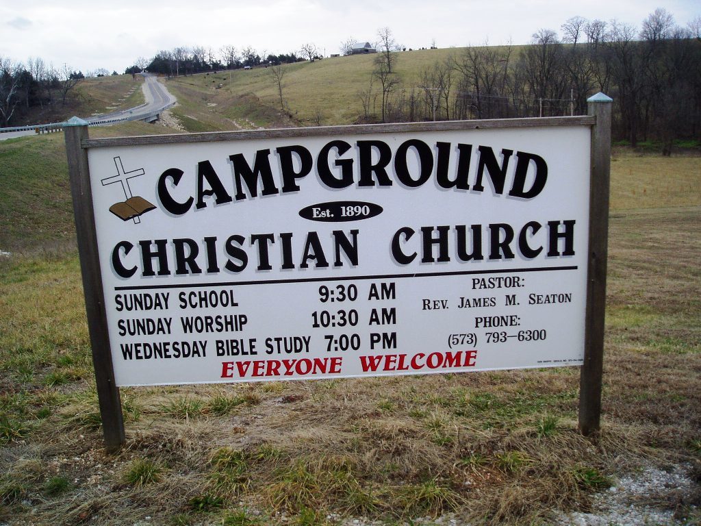
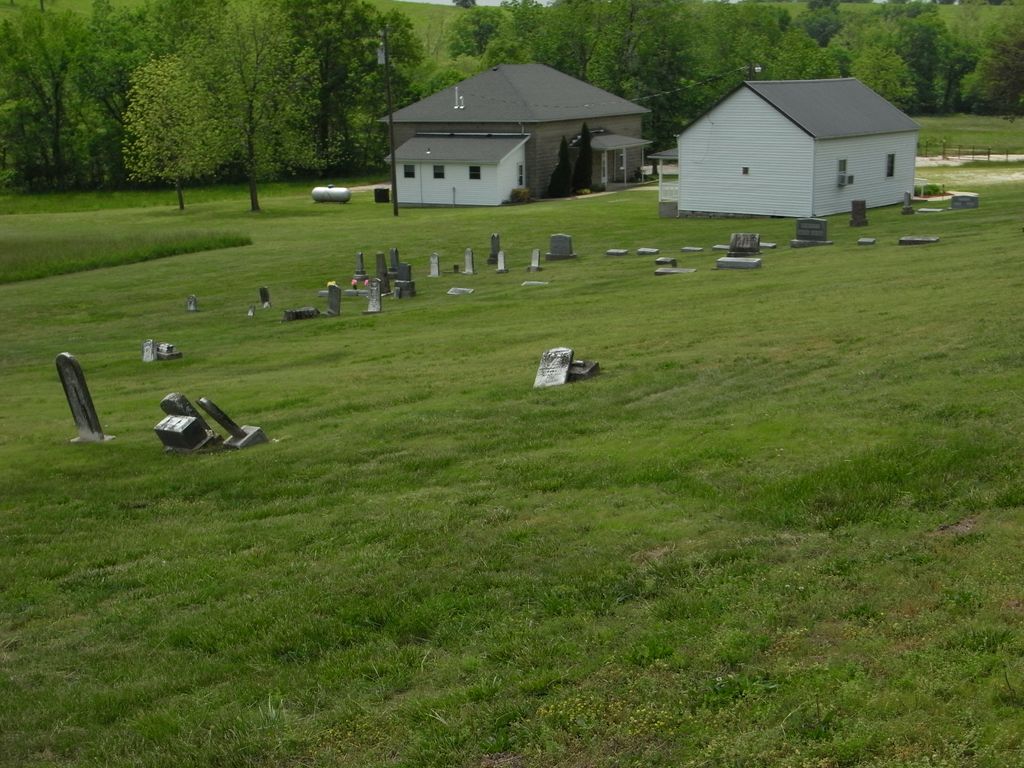
Where is Campground Christian Church Cemetery?
Campground Christian Church Cemetery is located at Van Cleve, Maries County ,Missouri ,USA.
-
Campground Christian Church Cemetery cemetery's updated grave count on graveviews.com?
0 memorials
-
Where are the coordinates of the Campground Christian Church Cemetery?
Latitude: 38.2262800
Longitude: -92.1602700
Nearby Cemetories:
1. Pendleton Cemetery
Maries County, USA
Coordinate: 38.2243996, -92.1872025
2. Stokes Cemetery
Van Cleve, Maries County, USA
Coordinate: 38.2366700, -92.1302800
3. Bell Burial Ground
Saint Thomas, Cole County, USA
Coordinate: 38.2550000, -92.1645000
4. Thompson Cemetery
Maries County, USA
Coordinate: 38.2619019, -92.1789017
5. Barnhart Cemetery
Miller County, USA
Coordinate: 38.2338982, -92.2086029
6. Red Rowden Cemetery
Maries County, USA
Coordinate: 38.1863200, -92.1700900
7. Brenner - Engelbrecht Burial Ground
Saint Thomas, Cole County, USA
Coordinate: 38.2612000, -92.1255000
8. Blue River Cemetery Old
Saint Thomas, Cole County, USA
Coordinate: 38.2723000, -92.1855000
9. Jim-Matt Lawson Cemetery
Maries County, USA
Coordinate: 38.1828003, -92.1956024
10. Beck Cemetery
Saint Thomas, Cole County, USA
Coordinate: 38.2857000, -92.1602000
11. Lewis Bolton Burial Ground
Saint Thomas, Cole County, USA
Coordinate: 38.2635000, -92.1007000
12. Duncan Cemetery
Miller County, USA
Coordinate: 38.1749992, -92.2003021
13. Bates Burial
Saint Thomas, Cole County, USA
Coordinate: 38.2820000, -92.2016000
14. Crismon Cemetery
Maries County, USA
Coordinate: 38.1641998, -92.1271973
15. John Bainer Farm Burial Ground
Saint Thomas, Cole County, USA
Coordinate: 38.2925000, -92.1840000
16. Dick Lawson Cemetery
Miller County, USA
Coordinate: 38.1596985, -92.1832962
17. Old Berry - McCann Cemetery
Russellville, Cole County, USA
Coordinate: 38.2759000, -92.2342000
18. Meta Southside Cemetery
Meta, Osage County, USA
Coordinate: 38.3050720, -92.1570750
19. Wheeler Cemetery
Maries County, USA
Coordinate: 38.1467400, -92.1526500
20. Dake Family Cemetery
Iberia, Miller County, USA
Coordinate: 38.1589800, -92.2224500
21. Saint Cecilia Cemetery
Meta, Osage County, USA
Coordinate: 38.3156013, -92.1641998
22. Saint Lawrence Catholic Cemetery
Saint Elizabeth, Miller County, USA
Coordinate: 38.2542200, -92.2708900
23. Stricklan Cemetery
Tavern, Maries County, USA
Coordinate: 38.1350970, -92.1747780
24. Davy Jones Cemetery
Cole County, USA
Coordinate: 38.2743000, -92.2606000


