
| Memorials | : | 0 |
| Location | : | Jefferson Township, Scioto County, USA |
| Coordinate | : | 38.8595200, -82.9362800 |
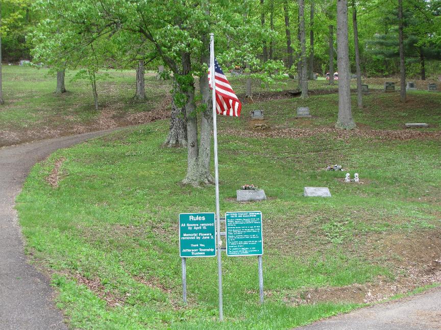
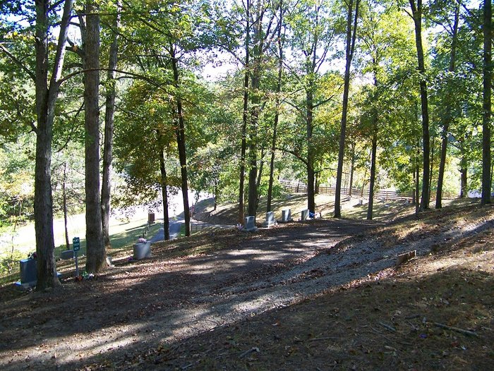
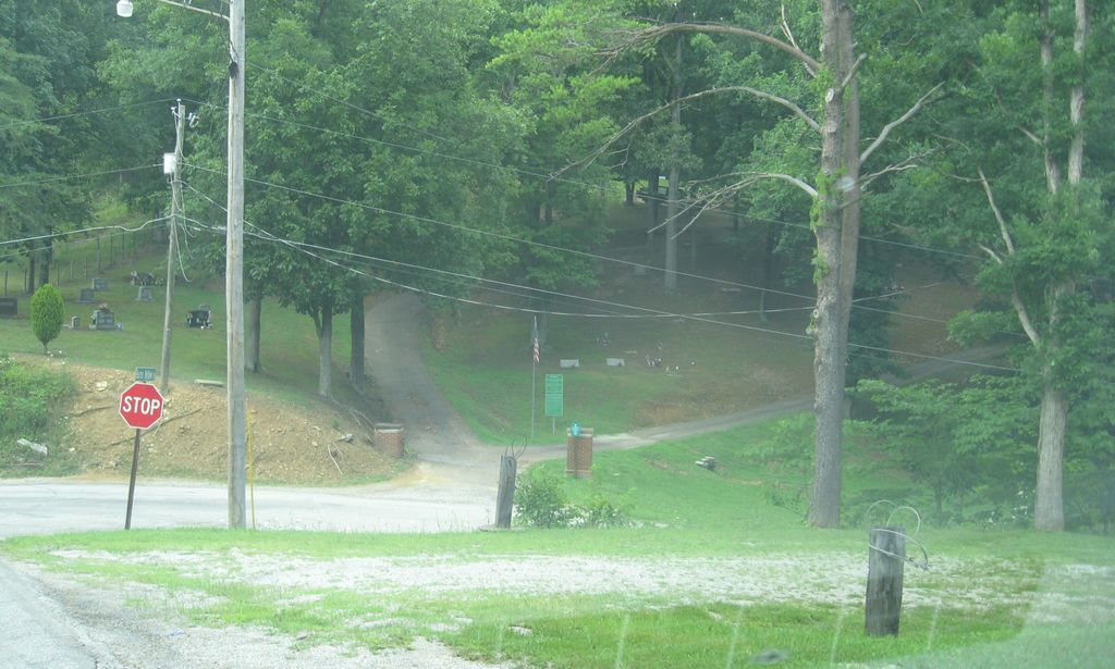
| Description | : | The cemetery is located on the north side of Houston Hollow-Candy Run Road (Township Road 177) at its intersection with Burns Hollow Road (Township Road 174). The first burial was in 1961. The cemetery is located in Jefferson Township, Scioto County, Ohio, and is # 10869 (Candy Run Cemetery / Candy Run Baptist Cemetery) in “Ohio Cemeteries 1803-2003”, compiled by the Ohio Genealogical Society. The cemetery is registered with the Ohio Division of Real Estate and Professional Licensing (ODRE) as Candy Run Cemetery with registration license number CGR.0000981635. The U.S. Geological Survey (USGS) Geographic Names Information System (GNIS)... Read More |
frequently asked questions (FAQ):
-
Where is Candy Run Cemetery?
Candy Run Cemetery is located at Houston Hollow-Candy Run Road (Township Road 177) Jefferson Township, Scioto County ,Ohio , 45648USA.
-
Candy Run Cemetery cemetery's updated grave count on graveviews.com?
0 memorials
-
Where are the coordinates of the Candy Run Cemetery?
Latitude: 38.8595200
Longitude: -82.9362800
Nearby Cemetories:
1. Stony Hill Cemetery
Jefferson Township, Scioto County, USA
Coordinate: 38.8720970, -82.9548600
2. Munn Cemetery
Jefferson Township, Scioto County, USA
Coordinate: 38.8513738, -82.9110914
3. Glendale Cemetery
Minford, Scioto County, USA
Coordinate: 38.8619003, -82.8996964
4. Morgan Cemetery
Lucasville, Scioto County, USA
Coordinate: 38.8850670, -82.9150750
5. Long Run Cemetery
Rubyville, Scioto County, USA
Coordinate: 38.8278008, -82.9274979
6. Rubyville Church Cemetery
Rubyville, Scioto County, USA
Coordinate: 38.8227150, -82.9356440
7. Universal Cemetery
Rubyville, Scioto County, USA
Coordinate: 38.8210983, -82.9393997
8. Marsh Cemetery
Lucasville, Scioto County, USA
Coordinate: 38.8564529, -82.9866028
9. Jones Cemetery
Lucasville, Scioto County, USA
Coordinate: 38.8815650, -82.9809440
10. Anderson Family Cemetery
Valley Township, Scioto County, USA
Coordinate: 38.8950170, -82.9714060
11. Harger Cemetery
Lucasville, Scioto County, USA
Coordinate: 38.9091988, -82.9428024
12. Hagar Cemetery
Lucasville, Scioto County, USA
Coordinate: 38.9093272, -82.9434720
13. Wooten Family Cemetery
Minford, Scioto County, USA
Coordinate: 38.8270230, -82.8867280
14. Harrison Furnace Cemetery
Minford, Scioto County, USA
Coordinate: 38.8328500, -82.8801700
15. Lucasville Cemetery
Lucasville, Scioto County, USA
Coordinate: 38.8789600, -82.9982300
16. Wheeler Cemetery
Lucasville, Scioto County, USA
Coordinate: 38.8981018, -82.8910980
17. Lucasville Methodist Church Cemetery
Lucasville, Scioto County, USA
Coordinate: 38.8792570, -82.9984260
18. Pyle Cemetery
Lucasville, Scioto County, USA
Coordinate: 38.9097170, -82.9067530
19. Squire Cemetery
Madison Township, Scioto County, USA
Coordinate: 38.8746986, -82.8664017
20. Bennett Fairview Cemetery
Minford, Scioto County, USA
Coordinate: 38.8997002, -82.8843994
21. Wilson Farm Cemetery #2
Rushtown, Scioto County, USA
Coordinate: 38.8569550, -83.0133680
22. Old Bennett Cemetery
Minford, Scioto County, USA
Coordinate: 38.8567593, -82.8579216
23. Thomas Cemetery
Rosemount, Scioto County, USA
Coordinate: 38.8131170, -82.9876710
24. Brown Family Cemetery
Minford, Scioto County, USA
Coordinate: 38.8926360, -82.8688550