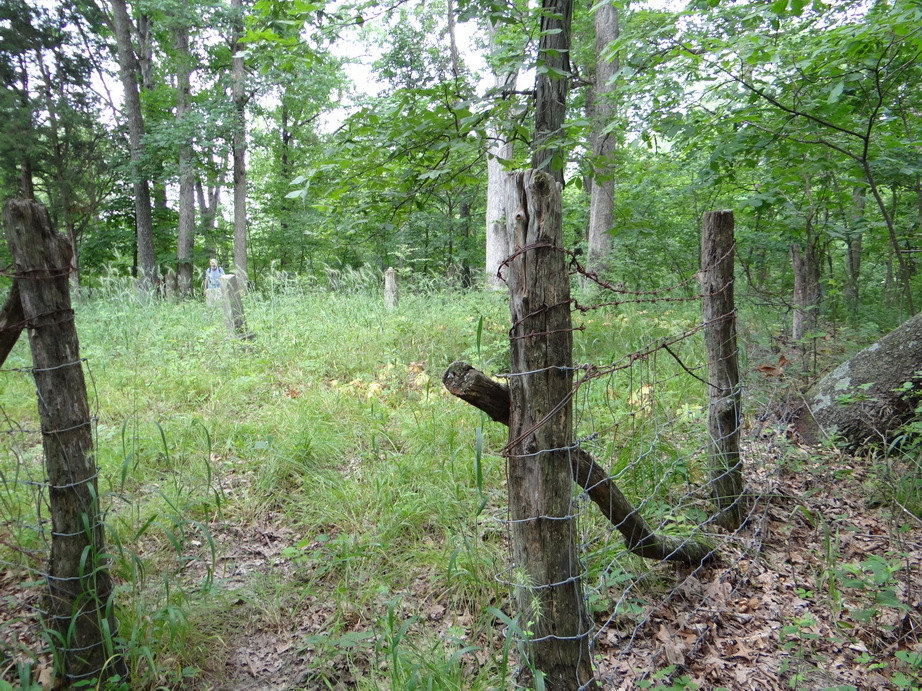
| Memorials | : | 0 |
| Location | : | Kane, Greene County, USA |
| Coordinate | : | 39.2494841, -90.3826109 |
| Description | : | The cemetery is located on the north side of Road 900 N. The U.S. Geological Survey (USGS) Geographic Names Information System (GNIS) feature ID for the cemetery is 1748349 (Cannedy Cemetery / Sibert-Gerningin Cemetery). |
frequently asked questions (FAQ):
-
Where is Cannedy-Gernigin Cemetery?
Cannedy-Gernigin Cemetery is located at Road 900 N Kane, Greene County ,Illinois , 62016USA.
-
Cannedy-Gernigin Cemetery cemetery's updated grave count on graveviews.com?
0 memorials
-
Where are the coordinates of the Cannedy-Gernigin Cemetery?
Latitude: 39.2494841
Longitude: -90.3826109
Nearby Cemetories:
1. Erwin Cemetery
Kane, Greene County, USA
Coordinate: 39.2414287, -90.3973334
2. Carter Cemetery
Carrollton, Greene County, USA
Coordinate: 39.2652350, -90.4024520
3. Tunnell-Clark Cemetery
Carrollton, Greene County, USA
Coordinate: 39.2621100, -90.4086900
4. Parker Cemetery
Kane, Greene County, USA
Coordinate: 39.2217138, -90.4040063
5. Saint Johns Catholic Cemetery
Carrollton, Greene County, USA
Coordinate: 39.2911509, -90.3981677
6. Carrollton City Cemetery
Carrollton, Greene County, USA
Coordinate: 39.2913820, -90.4122230
7. Burch Cemetery
Kane, Greene County, USA
Coordinate: 39.2203174, -90.3264982
8. Kane Cemetery
Kane, Greene County, USA
Coordinate: 39.1895740, -90.3663070
9. Reynolds Cemetery
Woodville Township, Greene County, USA
Coordinate: 39.2258400, -90.4557600
10. Mount Gilead Cemetery
Carrollton, Greene County, USA
Coordinate: 39.2486270, -90.4639260
11. Providence Cemetery
Carrollton, Greene County, USA
Coordinate: 39.2905890, -90.3153370
12. Thompson Cemetery
Kane, Greene County, USA
Coordinate: 39.1822622, -90.3962216
13. Witt Cemetery #2
Rockbridge, Greene County, USA
Coordinate: 39.2418251, -90.2787781
14. Fry Cemetery
Woody, Greene County, USA
Coordinate: 39.2339060, -90.4853080
15. Hardcastle Cemetery
Carrollton, Greene County, USA
Coordinate: 39.2958799, -90.2937272
16. Freer Cemetery
Rockbridge, Greene County, USA
Coordinate: 39.2564280, -90.2717752
17. Mills Cemetery
Eldred, Greene County, USA
Coordinate: 39.2228300, -90.4904100
18. Hathaway Cemetery
Jerseyville, Jersey County, USA
Coordinate: 39.1780150, -90.3137110
19. Mayberry Cemetery
Carrollton, Greene County, USA
Coordinate: 39.2517069, -90.4990025
20. Hopewell-Morfoot Cemetery
Carrollton, Greene County, USA
Coordinate: 39.3386510, -90.4123710
21. Old Catholic Cemetery
Carrollton, Greene County, USA
Coordinate: 39.3372850, -90.4260640
22. Borlin Cemetery
Carrollton, Greene County, USA
Coordinate: 39.2200060, -90.4986400
23. Elm Dale Cemetery
Carrollton, Greene County, USA
Coordinate: 39.3373510, -90.4281230
24. Wharton Cemetery
Jerseyville, Jersey County, USA
Coordinate: 39.1631400, -90.3276800

