| Memorials | : | 0 |
| Location | : | Carlisle, City of Carlisle, England |
| Coordinate | : | 54.8966420, -2.9388380 |
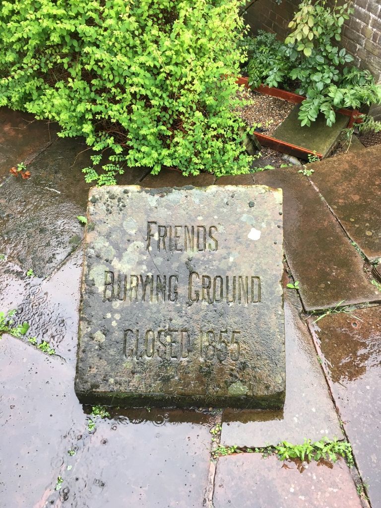
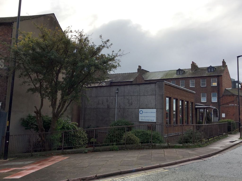
| Description | : | This burial ground on Fisher Street was used by the Friends from 1681 until 1855. In 1963 the present meeting house was built on the site, and the gravestones have all been moved. |
frequently asked questions (FAQ):
-
Where is Carlisle Friends Burial Ground?
Carlisle Friends Burial Ground is located at Carlisle, City of Carlisle ,Cumbria ,England.
-
Carlisle Friends Burial Ground cemetery's updated grave count on graveviews.com?
0 memorials
-
Where are the coordinates of the Carlisle Friends Burial Ground?
Latitude: 54.8966420
Longitude: -2.9388380
Nearby Cemetories:
1. Carlisle Cathedral
Carlisle, City of Carlisle, England
Coordinate: 54.8949600, -2.9388520
2. St. Mary's Churchyard
Carlisle, City of Carlisle, England
Coordinate: 54.8942040, -2.9385750
3. St Cuthbert Churchyard
Carlisle, City of Carlisle, England
Coordinate: 54.8936130, -2.9371850
4. Holy Trinity Churchyard
Carlisle, City of Carlisle, England
Coordinate: 54.8936884, -2.9502425
5. St. Joseph RC Churchyard
Carlisle, City of Carlisle, England
Coordinate: 54.8937860, -2.9268690
6. St. Michael's Churchyard
Stanwix, City of Carlisle, England
Coordinate: 54.9043000, -2.9350300
7. St John the Evangelist Churchyard
Carlisle, City of Carlisle, England
Coordinate: 54.8885960, -2.9257510
8. Carlisle Cemetery
Carlisle, City of Carlisle, England
Coordinate: 54.8806590, -2.9543410
9. Stanwix Cemetery
Carlisle, City of Carlisle, England
Coordinate: 54.9178950, -2.9407040
10. Carlisle Crematorium
Carlisle, City of Carlisle, England
Coordinate: 54.8778540, -2.9563680
11. Upperby Cemetery
Carlisle, City of Carlisle, England
Coordinate: 54.8755290, -2.9189380
12. St. John the Evangelist’s Churchyard
Houghton, City of Carlisle, England
Coordinate: 54.9294180, -2.9253730
13. All Saints Churchyard
Scotby, City of Carlisle, England
Coordinate: 54.8885520, -2.8734300
14. St Mary Churchyard
Beaumont, City of Carlisle, England
Coordinate: 54.9240865, -3.0188378
15. St. John the Evangelist Churchyard
Crosby-on-Eden, City of Carlisle, England
Coordinate: 54.9278679, -2.8628831
16. St John The Baptist Church
Blackford, City of Carlisle, England
Coordinate: 54.9532280, -2.9444130
17. St. Michael's Churchyard
Dalston, City of Carlisle, England
Coordinate: 54.8422650, -2.9836400
18. St Mary's Churchyard
Rockcliffe, City of Carlisle, England
Coordinate: 54.9449990, -3.0020760
19. Wetheral Parish Cemetery
Wetheral, City of Carlisle, England
Coordinate: 54.8812650, -2.8309020
20. Holy Trinity and St Constantine Churchyard
Wetheral, City of Carlisle, England
Coordinate: 54.8814860, -2.8305510
21. St Giles at Great Orton Churchyard
Great Orton, City of Carlisle, England
Coordinate: 54.8789300, -3.0475580
22. St Paul's Churchyard Holme Eden
Wetheral, City of Carlisle, England
Coordinate: 54.8989540, -2.8232760
23. St Michael's Churchyard
Burgh-by-Sands, City of Carlisle, England
Coordinate: 54.9222910, -3.0490700
24. Our Lady And St Wilfred Churchyard
Wetheral, City of Carlisle, England
Coordinate: 54.9032570, -2.8197300


