
| Memorials | : | 0 |
| Location | : | Milton, Stoke-on-Trent Unitary Authority, England |
| Coordinate | : | 53.0449570, -2.1394910 |
frequently asked questions (FAQ):
-
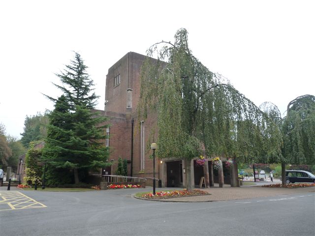
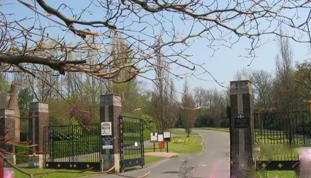
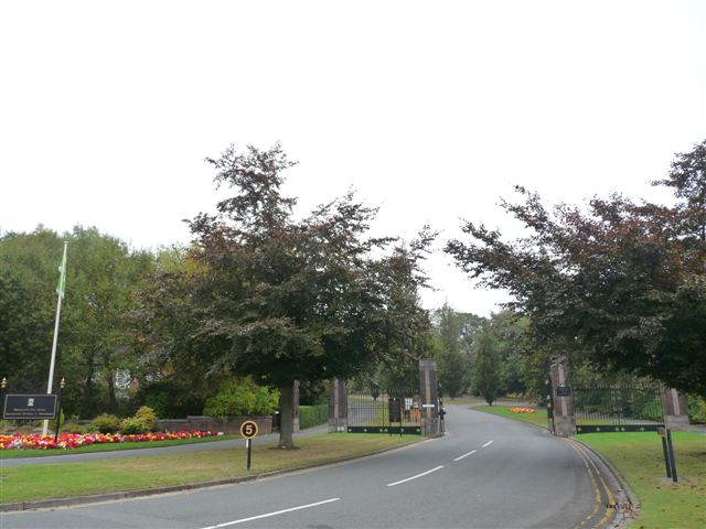
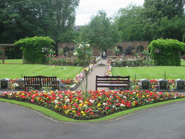
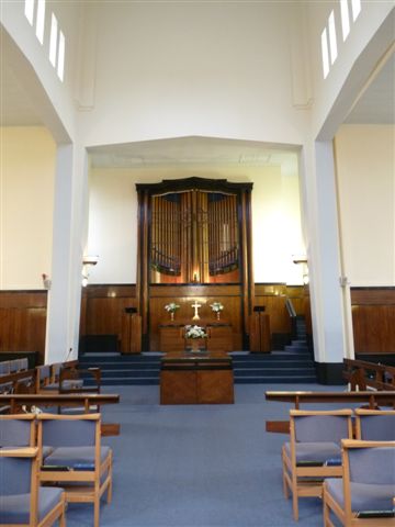
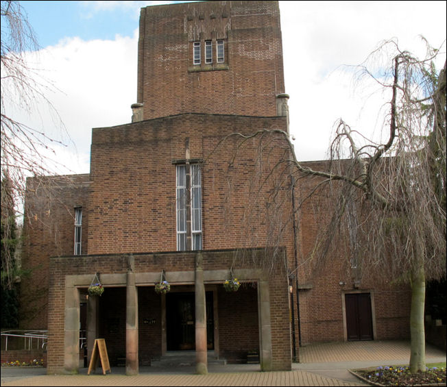
Where is Carmountside Cemetery and Crematorium?
Carmountside Cemetery and Crematorium is located at Leek Road Milton, Stoke-on-Trent Unitary Authority ,Staffordshire , ST2 7ABEngland.
-
Carmountside Cemetery and Crematorium cemetery's updated grave count on graveviews.com?
0 memorials
-
Where are the coordinates of the Carmountside Cemetery and Crematorium?
Latitude: 53.0449570
Longitude: -2.1394910
Nearby Cemetories:
1. St. Philip and St. James Churchyard
Milton, Stoke-on-Trent Unitary Authority, England
Coordinate: 53.0503730, -2.1403780
2. St Bartholomew Churchyard
Norton in the Moors, Stoke-on-Trent Unitary Authority, England
Coordinate: 53.0604630, -2.1595270
3. St. Mary's Churchyard
Bucknall, Stoke-on-Trent Unitary Authority, England
Coordinate: 53.0240220, -2.1424430
4. Burslem Cemetery
Burslem, Stoke-on-Trent Unitary Authority, England
Coordinate: 53.0463020, -2.1747030
5. St Chad Churchyard
Bagnall, Staffordshire Moorlands District, England
Coordinate: 53.0558430, -2.1082770
6. Parish church of st saviour smallthorne
Smallthorne, Stoke-on-Trent Unitary Authority, England
Coordinate: 53.0497445, -2.1758707
7. Smallthorne Cemetery
Smallthorne, Stoke-on-Trent Unitary Authority, England
Coordinate: 53.0480310, -2.1765950
8. Holy Trinity Churchyard
Hanley, Stoke-on-Trent Unitary Authority, England
Coordinate: 53.0297350, -2.1672050
9. Abbey of St Mary
Abbey Hulton, Stoke-on-Trent Unitary Authority, England
Coordinate: 53.0200000, -2.1300000
10. St. John the Evangelist Churchyard
Hanley, Stoke-on-Trent Unitary Authority, England
Coordinate: 53.0280200, -2.1749590
11. Sacred Heart Churchyard
Hanley, Stoke-on-Trent Unitary Authority, England
Coordinate: 53.0210590, -2.1737770
12. St John the Baptist Churchyard
Burslem, Stoke-on-Trent Unitary Authority, England
Coordinate: 53.0425850, -2.1962510
13. St. Mark's Church Graveyard
Shelton, Stoke-on-Trent Unitary Authority, England
Coordinate: 53.0189000, -2.1820000
14. St Anne Churchyard
Brown Edge, Staffordshire Moorlands District, England
Coordinate: 53.0832490, -2.1429880
15. St. Luke's Churchyard
Endon, Staffordshire Moorlands District, England
Coordinate: 53.0812200, -2.1086100
16. Hanley Cemetery
Hanley, Stoke-on-Trent Unitary Authority, England
Coordinate: 53.0143330, -2.1863120
17. Etruria Methodist Church
Stoke-on-Trent, Stoke-on-Trent Unitary Authority, England
Coordinate: 53.0209680, -2.1985840
18. Fenton Cemetery
Fenton, Stoke-on-Trent Unitary Authority, England
Coordinate: 53.0022180, -2.1545860
19. Christ Church Churchyard
Tunstall, Stoke-on-Trent Unitary Authority, England
Coordinate: 53.0625400, -2.2112840
20. St. Peter ad Vincula Churchyard
Stoke-on-Trent, Stoke-on-Trent Unitary Authority, England
Coordinate: 53.0041250, -2.1812460
21. St Margaret Churchyard
Wolstanton, Newcastle-Under-Lyme Borough, England
Coordinate: 53.0296810, -2.2154990
22. Quakers Burial Ground
Stoke-on-Trent, Stoke-on-Trent Unitary Authority, England
Coordinate: 53.0052870, -2.1881570
23. Christ Church Churchyard
Fenton, Stoke-on-Trent Unitary Authority, England
Coordinate: 52.9977700, -2.1638600
24. Tunstall Cemetery
Tunstall, Stoke-on-Trent Unitary Authority, England
Coordinate: 53.0618690, -2.2180260