| Memorials | : | 1 |
| Location | : | Christian County, USA |
| Coordinate | : | 36.8620758, -93.2252960 |
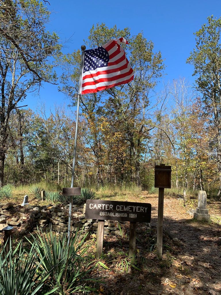
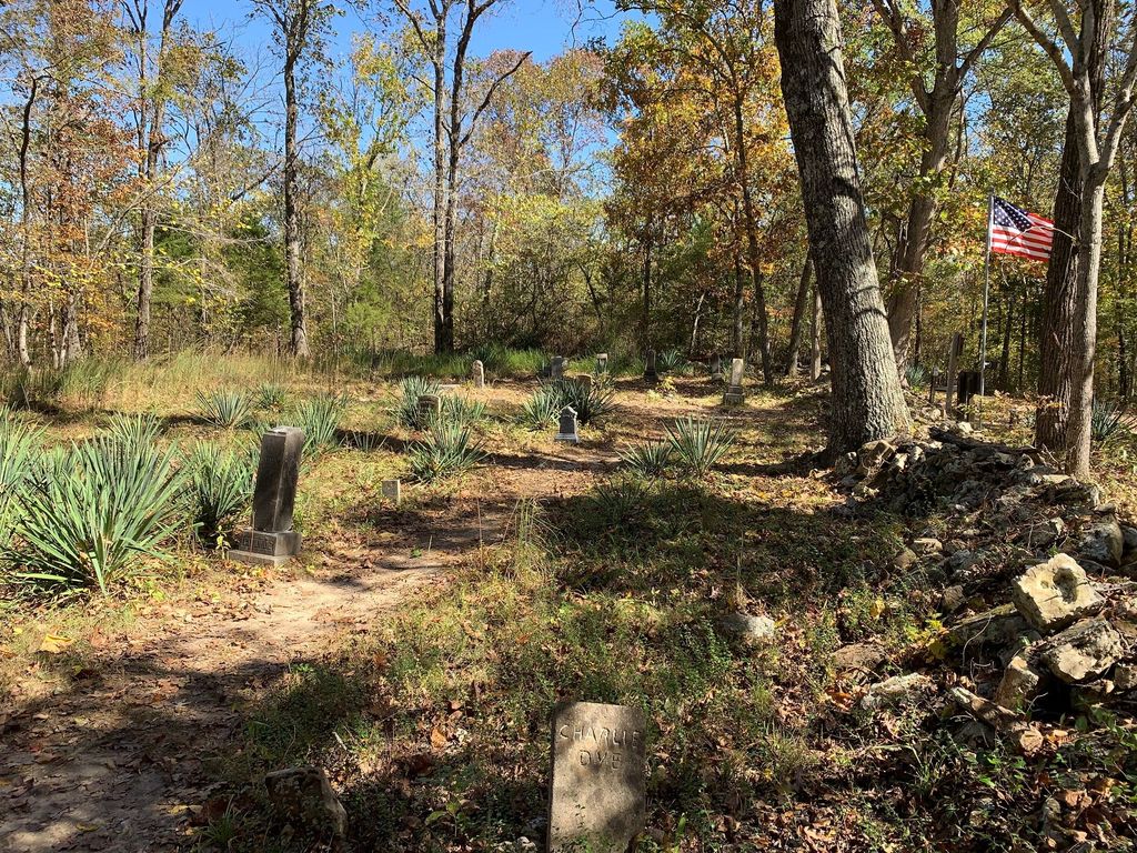
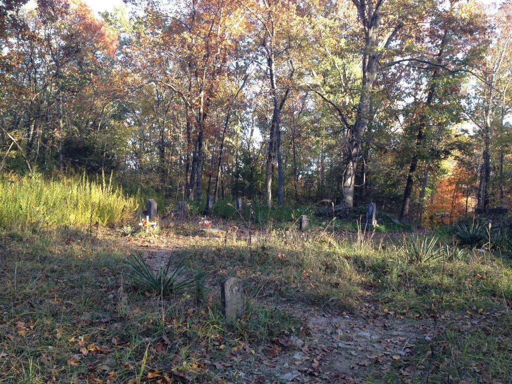
| Description | : | This family cemetery is located on top of a hill, next to a hiking trail at the Busiek State Park in Christian County, not far from the Taney County line. From the junction of Highways 60 and 65 in Springfield, take Highway 65 south for 18 miles to the park entrance on the left. Follow the gravel road to parking lots. Then take the red trail to the top of the hill. |
frequently asked questions (FAQ):
-
Where is Carter Cemetery?
Carter Cemetery is located at Christian County ,Missouri ,USA.
-
Carter Cemetery cemetery's updated grave count on graveviews.com?
1 memorials
-
Where are the coordinates of the Carter Cemetery?
Latitude: 36.8620758
Longitude: -93.2252960
Nearby Cemetories:
1. Chaves Cemetery
Ozark, Christian County, USA
Coordinate: 36.8689638, -93.2098880
2. Schupbach Cemetery
Chestnutridge, Christian County, USA
Coordinate: 36.8446999, -93.2602997
3. Dyke Cemetery
Ozark, Christian County, USA
Coordinate: 36.8217201, -93.1812744
4. Spokane Cemetery
Spokane, Christian County, USA
Coordinate: 36.8639100, -93.2969400
5. Cobb-Keeton Cemetery
Christian Center, Christian County, USA
Coordinate: 36.8863983, -93.1564026
6. Martin Cemetery
Highlandville, Christian County, USA
Coordinate: 36.8894005, -93.2968979
7. King Cemetery
Christian County, USA
Coordinate: 36.9281006, -93.2166977
8. Highlandville IOOF Cemetery
Highlandville, Christian County, USA
Coordinate: 36.9321800, -93.2659000
9. Hammond Cemetery
Highlandville, Christian County, USA
Coordinate: 36.9329400, -93.2650800
10. Lebow Cemetery
Christian County, USA
Coordinate: 36.8997002, -93.3131027
11. Adams Cemetery
Highlandville, Christian County, USA
Coordinate: 36.9427986, -93.2341995
12. Ponce de Leon Cemetery
Christian County, USA
Coordinate: 36.8739014, -93.3401031
13. Mayberry Cemetery
Christian County, USA
Coordinate: 36.9155998, -93.3210983
14. Mapes Family Cemetery
Christian County, USA
Coordinate: 36.9127998, -93.1268997
15. Eisenhour Cemetery
Spokane, Christian County, USA
Coordinate: 36.8249702, -93.3381119
16. White Cemetery
Christian County, USA
Coordinate: 36.9571991, -93.2652969
17. Selmore Cemetery
Ozark, Christian County, USA
Coordinate: 36.9677696, -93.2303238
18. Tory Cemetery
Christian County, USA
Coordinate: 36.9357986, -93.3349991
19. Prospect Cemetery
Ozark, Christian County, USA
Coordinate: 36.9771500, -93.1806870
20. Collins Cemetery
Christian County, USA
Coordinate: 36.9818993, -93.2544022
21. McCoy Cemetery
Ozark, Christian County, USA
Coordinate: 36.9792709, -93.1759033
22. Jones Chastain Cemetery
Nixa, Christian County, USA
Coordinate: 36.9822006, -93.2928009
23. Glenn Cemetery
Highlandville, Christian County, USA
Coordinate: 36.9837000, -93.3028300
24. Porter Cemetery (Defunct)
Ozark, Christian County, USA
Coordinate: 37.0043983, -93.2133026


