
| Memorials | : | 0 |
| Location | : | Hunter, Carter County, USA |
| Coordinate | : | 36.3739200, -82.1855000 |
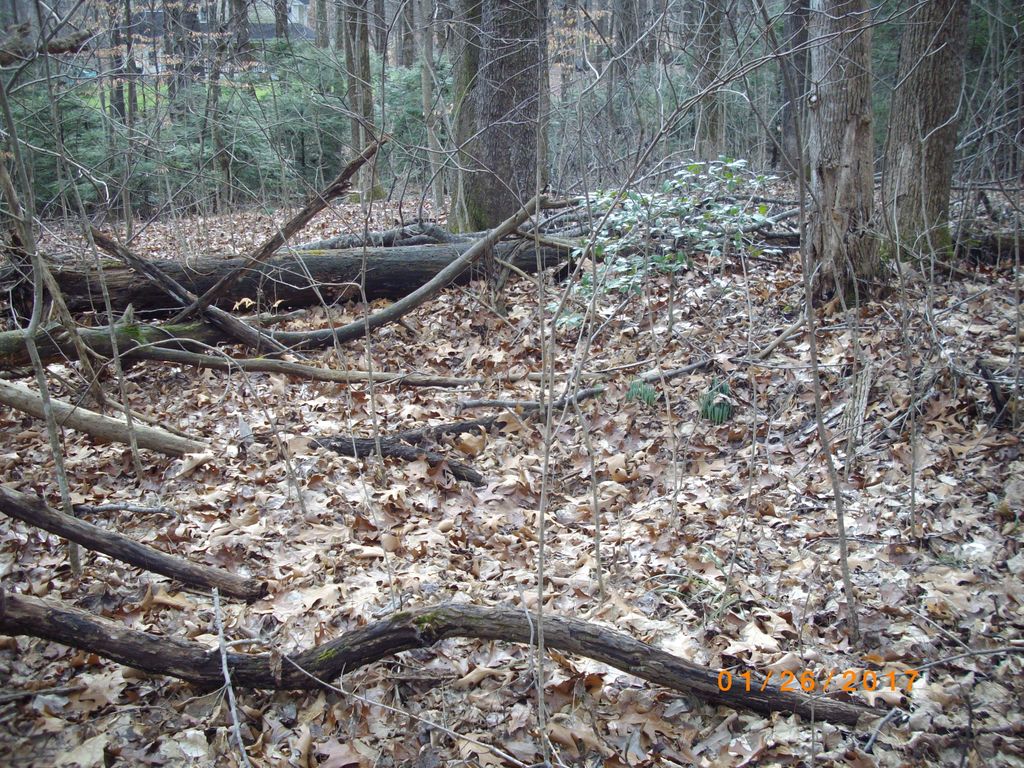
| Description | : | This is a cemetery which holds deceased from the old Carter County Poor Farm which was located near where the Rite Screen Factory on Judge Don Lewis Boulevard is located. This is in the Hunter Community of Elizabethton, Carter, Tennessee. The cemetery holds at least ten burials, as observed by sunken graves. The graves are unmarked. The Poor Farm ceased operations about 1960. The cemetery is located off Judge Ben Allen Road on an unnamed road. The road is located about 100 yards west from the entrance to Aggregates USA rock quarry. Turn left onto... Read More |
frequently asked questions (FAQ):
-
Where is Carter County Poor House Cemetery?
Carter County Poor House Cemetery is located at Hunter, Carter County ,Tennessee ,USA.
-
Carter County Poor House Cemetery cemetery's updated grave count on graveviews.com?
0 memorials
-
Where are the coordinates of the Carter County Poor House Cemetery?
Latitude: 36.3739200
Longitude: -82.1855000
Nearby Cemetories:
1. Fulkerson & Glover Cemetery
Elizabethton, Carter County, USA
Coordinate: 36.3749300, -82.1884300
2. Newton Cemetery
Elizabethton, Carter County, USA
Coordinate: 36.3772040, -82.1992650
3. Stover Cemetery
Elizabethton, Carter County, USA
Coordinate: 36.3689100, -82.1704700
4. Minton Cemetery
Elizabethton, Carter County, USA
Coordinate: 36.3725410, -82.2025190
5. Birchfield Cemetery
Carter County, USA
Coordinate: 36.3619100, -82.1956100
6. Lyons Cemetery
Keenburg, Carter County, USA
Coordinate: 36.3839480, -82.2020410
7. Minton Cemetery
Elizabethton, Carter County, USA
Coordinate: 36.3794100, -82.1655700
8. Ellis Cemetery
Elizabethton, Carter County, USA
Coordinate: 36.3752060, -82.2097380
9. Estep Cemetery
Keenburg, Carter County, USA
Coordinate: 36.3791100, -82.2102600
10. Estep Cemetery
Biltmore, Carter County, USA
Coordinate: 36.3809700, -82.2103100
11. Fitzsimmons Cemetery
Elizabethton, Carter County, USA
Coordinate: 36.3609980, -82.2072120
12. Melton Cemetery
Elizabethton, Carter County, USA
Coordinate: 36.3556600, -82.2007400
13. Morrell Cemetery
Elizabethton, Carter County, USA
Coordinate: 36.3830986, -82.1605988
14. Carter Cemetery
Elizabethton, Carter County, USA
Coordinate: 36.3538100, -82.2036500
15. Ellis Cemetery
Elizabethton, Carter County, USA
Coordinate: 36.3778700, -82.2162200
16. Kitzmiller Cemetery
Elizabethton, Carter County, USA
Coordinate: 36.3732300, -82.1539200
17. Isaac Lincoln Farm Burying Ground
Elizabethton, Carter County, USA
Coordinate: 36.3608890, -82.1557340
18. A.B. Grindstaff Farm Cemetery
Elizabethton, Carter County, USA
Coordinate: 36.3819000, -82.1530620
19. Deloach Cemetery
Carter County, USA
Coordinate: 36.3466988, -82.1817017
20. Harmony Baptist Church Cemetery
Elizabethton, Carter County, USA
Coordinate: 36.3783100, -82.2197400
21. Carrico Family Cemetery
Charity Hill, Carter County, USA
Coordinate: 36.3459230, -82.1878020
22. Emmert Cemetery
Elizabethton, Carter County, USA
Coordinate: 36.3786100, -82.2200100
23. Keenburg Free Will Baptist Church Cemetery
Elizabethton, Carter County, USA
Coordinate: 36.3776600, -82.2209800
24. Cole Cemetery
Elizabethton, Carter County, USA
Coordinate: 36.3610550, -82.2185890