| Memorials | : | 0 |
| Location | : | Cassel, Departement du Nord, France |
| Coordinate | : | 50.7990379, 2.4922740 |
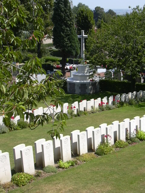
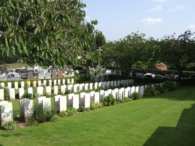
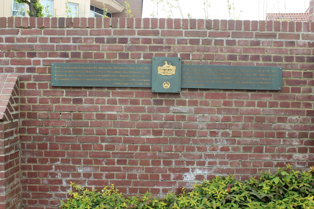
| Description | : | Cassel is a town and commune on one of the few high points of the department of the Nord. Cassel Communal Cemetery is on the south-east side of the town. From the Grand Place, head south on the Rue Maréchal Foch. The cemetery will be found 500 metres on the left hand side of the road. During the 1914-18 War Cassel was at different periods the headquarters of both Marshal Foch (France) and Lord Plumer (UK). At the end of May 1940 the western flank of the British Expeditionary Force was on the line Dunkirk-Cassel- Hazebrouck, and Cassel was in... Read More |
frequently asked questions (FAQ):
-
Where is Cassel Communal Cemetery Extension?
Cassel Communal Cemetery Extension is located at Cassel, Departement du Nord ,Nord-Pas-de-Calais ,France.
-
Cassel Communal Cemetery Extension cemetery's updated grave count on graveviews.com?
0 memorials
-
Where are the coordinates of the Cassel Communal Cemetery Extension?
Latitude: 50.7990379
Longitude: 2.4922740
Nearby Cemetories:
1. Arneke Churchyard
Arneke, Departement du Nord, France
Coordinate: 50.8318520, 2.4120340
2. Le Peuplier Military Cemetery
Caestre, Departement du Nord, France
Coordinate: 50.7525100, 2.5780700
3. Arneke British Cemetery
Arneke, Departement du Nord, France
Coordinate: 50.8447952, 2.4033549
4. Caestre Military Cemetery
Caestre, Departement du Nord, France
Coordinate: 50.7590904, 2.5966411
5. Ebblinghem Military Cemetery
Ebblinghem, Departement du Nord, France
Coordinate: 50.7348442, 2.4188230
6. Caestre Communal Cemetery
Caestre, Departement du Nord, France
Coordinate: 50.7615900, 2.6107000
7. Borre Churchyard
Borre, Departement du Nord, France
Coordinate: 50.7308400, 2.5844000
8. Borre British Cemetery
Borre, Departement du Nord, France
Coordinate: 50.7300300, 2.5830400
9. Watou Churchyard
Poperinge, Arrondissement Ieper, Belgium
Coordinate: 50.8591100, 2.6196300
10. Abeele Aerodrome Military Cemetery
Poperinge, Arrondissement Ieper, Belgium
Coordinate: 50.8152200, 2.6570500
11. Sint-Jan-ter-Biezen Communal Cemetery
Poperinge, Arrondissement Ieper, Belgium
Coordinate: 50.8580400, 2.6649800
12. Haringhe Bandaghem Military Cemetery
Poperinge, Arrondissement Ieper, Belgium
Coordinate: 50.9015900, 2.6149800
13. Lijssenthoek Military Cemetery
Poperinge, Arrondissement Ieper, Belgium
Coordinate: 50.8283800, 2.7016000
14. Mendinghem Military Cemetery
Poperinge, Arrondissement Ieper, Belgium
Coordinate: 50.8971100, 2.6426800
15. Proven Churchyard
Poperinge, Arrondissement Ieper, Belgium
Coordinate: 50.8910200, 2.6561800
16. Nine Elms British Cemetery
Poperinge, Arrondissement Ieper, Belgium
Coordinate: 50.8509500, 2.6970400
17. Arques Churchyard
Arques, Departement du Pas-de-Calais, France
Coordinate: 50.7358589, 2.2885470
18. Roesbrugge Begraafplaats
Poperinge, Arrondissement Ieper, Belgium
Coordinate: 50.9198800, 2.6244800
19. Cheap Street Methodist Church
Sherborne, West Dorset District, England
Coordinate: 50.9480904, 2.5164723
20. Poperinghe Old Military Cemetery
Poperinge, Arrondissement Ieper, Belgium
Coordinate: 50.8507500, 2.7283200
21. Poperinge Communal Cemetery
Poperinge, Arrondissement Ieper, Belgium
Coordinate: 50.8520400, 2.7280900
22. Poperinghe New Military Cemetery
Poperinge, Arrondissement Ieper, Belgium
Coordinate: 50.8479347, 2.7326140
23. Westoutre British Cemetery
Heuvelland, Arrondissement Ieper, Belgium
Coordinate: 50.8000800, 2.7451400
24. Westouter Churchyard and Extension
Heuvelland, Arrondissement Ieper, Belgium
Coordinate: 50.7974900, 2.7470600


