| Memorials | : | 25 |
| Location | : | Castle Hill, Aroostook County, USA |
| Coordinate | : | 46.7346840, -68.1792210 |
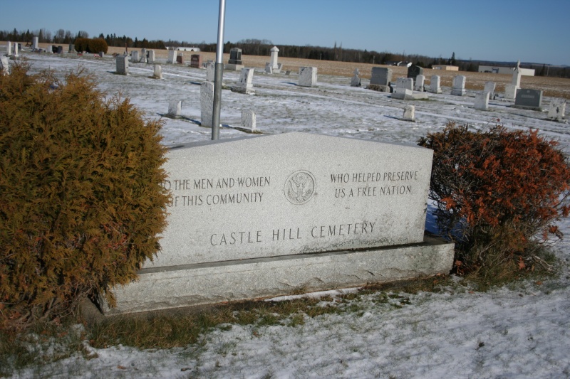
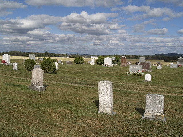
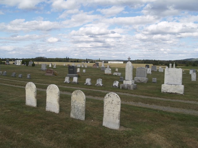
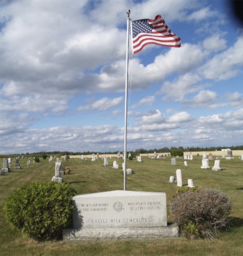
| Description | : | Cemetery is located on State Road (Rt. 227) in Castle Hill, Maine, across the street from the intersection of Waddell Road. Approximately 10 miles from Presque Isle on the State Road. |
frequently asked questions (FAQ):
-
Where is Castle Hill Cemetery?
Castle Hill Cemetery is located at State Road Castle Hill, Aroostook County ,Maine , 04757USA.
-
Castle Hill Cemetery cemetery's updated grave count on graveviews.com?
24 memorials
-
Where are the coordinates of the Castle Hill Cemetery?
Latitude: 46.7346840
Longitude: -68.1792210
Nearby Cemetories:
1. Washburn Riverside Extension Cemetery
Washburn, Aroostook County, USA
Coordinate: 46.7750816, -68.1517105
2. Riverside Cemetery
Washburn, Aroostook County, USA
Coordinate: 46.7785492, -68.1552277
3. Old Mill Town Cemetery
Mapleton, Aroostook County, USA
Coordinate: 46.6815700, -68.1609100
4. Southside Cemetery
Mapleton, Aroostook County, USA
Coordinate: 46.6622050, -68.1633620
5. Hillside Grove Cemetery
Crouseville, Aroostook County, USA
Coordinate: 46.7566760, -68.0765500
6. Crouseville Cemetery
Crouseville, Aroostook County, USA
Coordinate: 46.7574997, -68.0768967
7. Tarr Cemetery
Castle Hill, Aroostook County, USA
Coordinate: 46.6664200, -68.2203800
8. Alley Cemetery
Ashland, Aroostook County, USA
Coordinate: 46.7014730, -68.3049090
9. Grendell Cemetery
Chapman, Aroostook County, USA
Coordinate: 46.6364010, -68.1318340
10. Johnson Cemetery
Presque Isle, Aroostook County, USA
Coordinate: 46.7078209, -68.0069733
11. Saint Marys Cemetery
Presque Isle, Aroostook County, USA
Coordinate: 46.6930930, -68.0104730
12. Saint Marys Chapman Street Cemetery
Presque Isle, Aroostook County, USA
Coordinate: 46.6754150, -68.0215990
13. Frenchville Catholic Cemetery
Ashland, Aroostook County, USA
Coordinate: 46.6779740, -68.3398050
14. Fairview Cemetery
Perham, Aroostook County, USA
Coordinate: 46.8666992, -68.2086029
15. Fairmount Cemetery
Presque Isle, Aroostook County, USA
Coordinate: 46.6628075, -68.0077744
16. Lyndon Center Cemetery
Caribou, Aroostook County, USA
Coordinate: 46.8022240, -67.9921920
17. Gardner Memorial Cemetery
Ashland, Aroostook County, USA
Coordinate: 46.6566300, -68.3577430
18. Bartlett Cemetery
Presque Isle, Aroostook County, USA
Coordinate: 46.6765327, -67.9827118
19. Northern Maine Veterans Cemetery
Caribou, Aroostook County, USA
Coordinate: 46.8512400, -68.0428500
20. Bean Family Cemetery
Aroostook County, USA
Coordinate: 46.7396440, -67.9542600
21. Thompson Burial Ground
Caribou, Aroostook County, USA
Coordinate: 46.8143280, -67.9821140
22. Reuben Bean Family Cemetery
Aroostook County, USA
Coordinate: 46.7141610, -67.9514610
23. Evergreen Cemetery
Caribou, Aroostook County, USA
Coordinate: 46.8524500, -68.0112700
24. Holy Rosary Cemetery Old
Caribou, Aroostook County, USA
Coordinate: 46.8558510, -68.0046860


