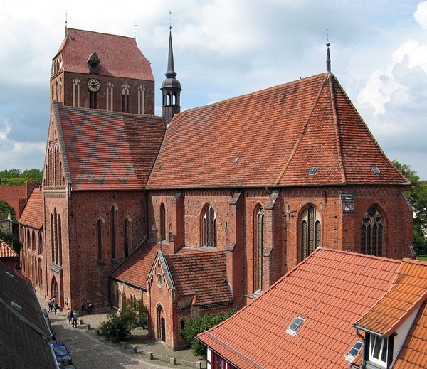
| Memorials | : | 0 |
| Location | : | Güstrow, Landkreis Rostock, Germany |
| Coordinate | : | 53.7911450, 12.1736990 |
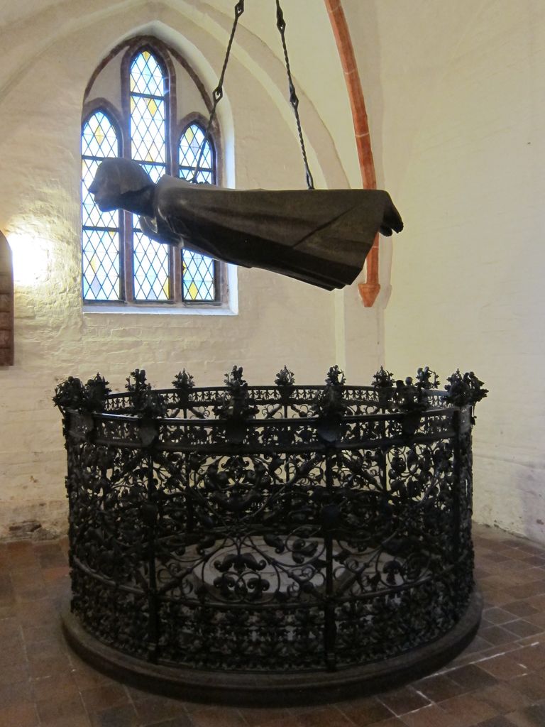
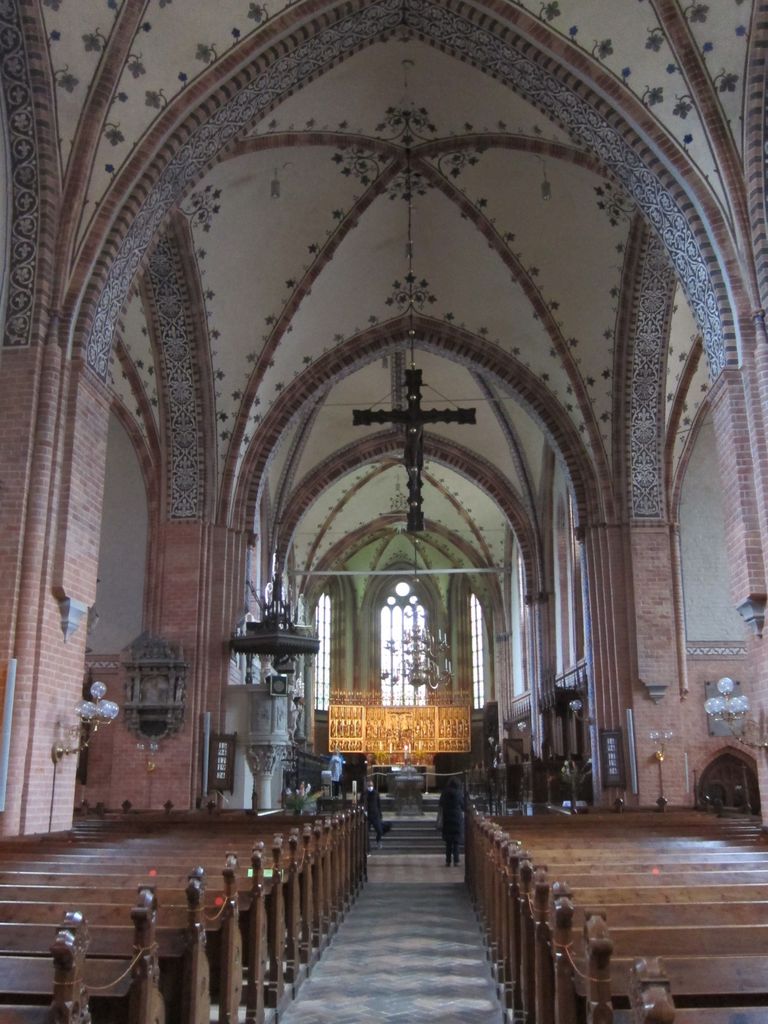
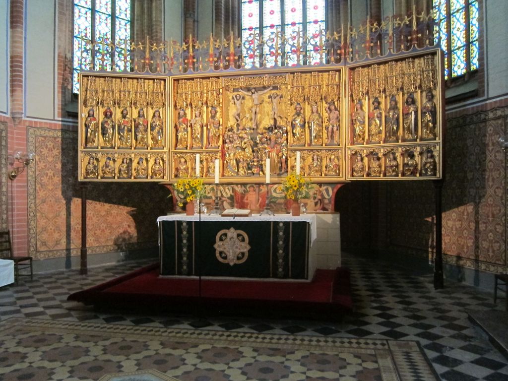
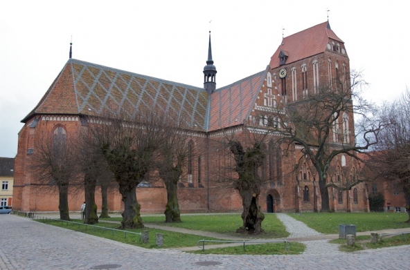
| Description | : | The cathedral is also known as Dom St. Maria, St. Johannes Evangelista und St. Cäcilia, or simply Dom zu Güstrow. A typical example of northern German Romantic architecture, with some hints of Gothic influence. Originally built in the 13th century, it stood empty after the reformation in the early 16th century. It was then taken over by the Protestant Church, and after some restauration reopened as a Lutheran Church in 1568. The reigning family of Mecklenburg had several members buried in the crypts underneath, as well as inside the church. Some stone sarcophagi are located in side naves of the... Read More |
frequently asked questions (FAQ):
-
Where is Cathedral of Güstrow?
Cathedral of Güstrow is located at Güstrow, Landkreis Rostock ,Mecklenburg-Vorpommern ,Germany.
-
Cathedral of Güstrow cemetery's updated grave count on graveviews.com?
0 memorials
-
Where are the coordinates of the Cathedral of Güstrow?
Latitude: 53.7911450
Longitude: 12.1736990
Nearby Cemetories:
1. Evangelical-Lutheran Friedhof Güstrow
Güstrow, Landkreis Rostock, Germany
Coordinate: 53.8039530, 12.1823136
2. Jüdischer Friedhof Güstrow
Güstrow, Landkreis Rostock, Germany
Coordinate: 53.8016056, 12.1935862
3. Kirchhof Lüdershagen
Lüdershagen, Landkreis Rostock, Germany
Coordinate: 53.7193676, 12.2613039
4. Friedhof Parkow (Stadt Bützow)
Parkow, Landkreis Rostock, Germany
Coordinate: 53.8550780, 11.9922783
5. Weitendorf Friedhof
Weitendorf (Cammin), Landkreis Rostock, Germany
Coordinate: 53.8992449, 12.2809414
6. Stiftskirche Bützow
Bützow, Landkreis Rostock, Germany
Coordinate: 53.8487592, 11.9817881
7. Kambs Friedhof
Kambs, Landkreis Rostock, Germany
Coordinate: 53.8966123, 12.0526576
8. Jüdischer Friedhof Bützow
Bützow, Landkreis Rostock, Germany
Coordinate: 53.8471676, 11.9670843
9. Friedhof Bützow
Bützow, Landkreis Rostock, Germany
Coordinate: 53.8487549, 11.9653025
10. Kloster Rühn
Ruhn, Landkreis Rostock, Germany
Coordinate: 53.8239880, 11.9377610
11. Jüdischer Friedhof Krakow am See
Krakow am See, Landkreis Rostock, Germany
Coordinate: 53.6495078, 12.2697327
12. Jüdischer Friedhof Schwaan
Schwaan, Landkreis Rostock, Germany
Coordinate: 53.9409877, 12.0985301
13. Friedhof Wiendorf
Wiendorf, Landkreis Rostock, Germany
Coordinate: 53.9469703, 12.1516456
14. Friedhof Schwaan
Schwaan, Landkreis Rostock, Germany
Coordinate: 53.9436445, 12.0982254
15. Laage Kirchhof
Laage, Landkreis Rostock, Germany
Coordinate: 53.9246323, 12.3444429
16. Friedhof Dobbin
Dobbertin, Landkreis Ludwigslust-Parchim, Germany
Coordinate: 53.6240165, 12.0259584
17. Kirchhof Klaber
Klaber, Landkreis Rostock, Germany
Coordinate: 53.7212306, 12.4709258
18. Friedhof Goldberg
Goldberg, Landkreis Ludwigslust-Parchim, Germany
Coordinate: 53.5962989, 12.0948165
19. Neukirchen Cemetery
Klein Belitz, Landkreis Rostock, Germany
Coordinate: 53.9415760, 11.9474820
20. Glave, Waldfriedhof
Glave, Landkreis Rostock, Germany
Coordinate: 53.5916160, 12.2905724
21. Friedhof Qualitz
Qualitz, Landkreis Rostock, Germany
Coordinate: 53.8280030, 11.8211660
22. Friedhof Kavelstorf
Kavelstorf, Landkreis Rostock, Germany
Coordinate: 54.0031280, 12.1914299
23. Kavelstorf Kirchhof
Kavelstorf, Landkreis Rostock, Germany
Coordinate: 54.0032297, 12.1913117
24. Cammin Village Church Cemetery
Cammin, Landkreis Mecklenburgische Seenplatte, Germany
Coordinate: 53.9898856, 12.3559606


