| Memorials | : | 0 |
| Location | : | Bowmanstown, Carbon County, USA |
| Coordinate | : | 40.8064850, -75.6605400 |
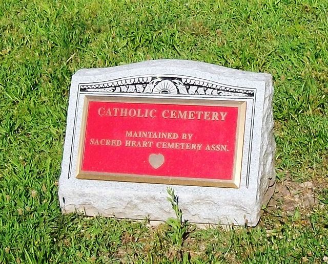
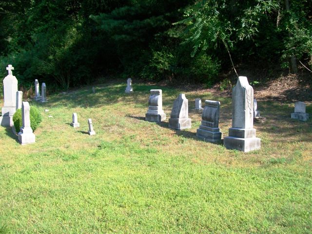
| Description | : | The old Fireline Church, which stood at the point where Dairy Road and Fireline Road are today (across from the Fireline Restaurant, formerly known as Smitty's Fireline Hotel), served the people of this vicinity long before 1908. According to the Biographical History Directory of Palmerton 1944-1949, Volume 1, Edition 1, compiled by Archpriest Father V. Gindlin, the Fireline Church was built in 1856 by a German Catholic congregation. Fire later destroyed the Fireline Church. The cemetery is located on Fireline Road from Bowmanstown at about a mile before the intersection of Dairy and Fireline Roads. The cemetery is also... Read More |
frequently asked questions (FAQ):
-
Where is Catholic Cemetery?
Catholic Cemetery is located at Bowmanstown, Carbon County ,Pennsylvania ,USA.
-
Catholic Cemetery cemetery's updated grave count on graveviews.com?
0 memorials
-
Where are the coordinates of the Catholic Cemetery?
Latitude: 40.8064850
Longitude: -75.6605400
Nearby Cemetories:
1. Trinity Lutheran Cemetery
Bowmanstown, Carbon County, USA
Coordinate: 40.8046989, -75.6652985
2. Parryville Cemetery
Parryville, Carbon County, USA
Coordinate: 40.8227000, -75.6754000
3. Saint Vladimir's Lower Cemetery
Palmerton, Carbon County, USA
Coordinate: 40.8110910, -75.6205270
4. Saint John's Church Cemetery
Palmerton, Carbon County, USA
Coordinate: 40.8111000, -75.6183014
5. Saint Vladimir's Upper Cemetery
Palmerton, Carbon County, USA
Coordinate: 40.8129720, -75.6170340
6. Sacred Heart Roman Catholic Cemetery
Palmerton, Carbon County, USA
Coordinate: 40.8106650, -75.6154740
7. Union Hill Cemetery
Weissport, Carbon County, USA
Coordinate: 40.8285000, -75.6965000
8. Little White Church Cemetery
Palmerton, Carbon County, USA
Coordinate: 40.8045000, -75.6134000
9. Towamensing Cemetery
Palmerton, Carbon County, USA
Coordinate: 40.8111000, -75.6136017
10. Bunker Hill Cemetery
Weissport, Carbon County, USA
Coordinate: 40.8312000, -75.6981000
11. Saint John's Episcopal Church Memorial Garden
Palmerton, Carbon County, USA
Coordinate: 40.8045430, -75.6099690
12. Temple Israel Cemetery
Lehighton, Carbon County, USA
Coordinate: 40.8325000, -75.6988000
13. Franklin Heights Memorial Park
East Weissport, Carbon County, USA
Coordinate: 40.8338013, -75.6975021
14. Saint Paulus Lutheran and Reformed Church Cemetery
Big Creek, Carbon County, USA
Coordinate: 40.8466500, -75.6514600
15. Franklin Township Cemetery
Big Creek, Carbon County, USA
Coordinate: 40.8473660, -75.6518050
16. Saint Matthew's Cemetery
Weissport, Carbon County, USA
Coordinate: 40.8415000, -75.6970000
17. New Dinkey Memorial Cemetery
Ashfield, Carbon County, USA
Coordinate: 40.7878600, -75.7143400
18. Dinkey Memorial Cemetery
Lehighton, Carbon County, USA
Coordinate: 40.7872110, -75.7152820
19. Gnaden Huetten Cemetery
Lehighton, Carbon County, USA
Coordinate: 40.8272018, -75.7157974
20. Lehighton Cemetery
Lehighton, Carbon County, USA
Coordinate: 40.8297005, -75.7147980
21. All Saints Episcopal Church Cemetery
Lehighton, Carbon County, USA
Coordinate: 40.8371920, -75.7105930
22. Saint John's United Church of Christ Memorial Gard
Palmerton, Carbon County, USA
Coordinate: 40.8125310, -75.5931160
23. Saints Peter and Paul Roman Catholic Cemetery
Lehighton, Carbon County, USA
Coordinate: 40.8401090, -75.7149770
24. Slatedale Cemetery
Slatedale, Lehigh County, USA
Coordinate: 40.7532997, -75.6603012


