
| Memorials | : | 12 |
| Location | : | Mount Airy, Surry County, USA |
| Coordinate | : | 36.5006111, -80.6212222 |
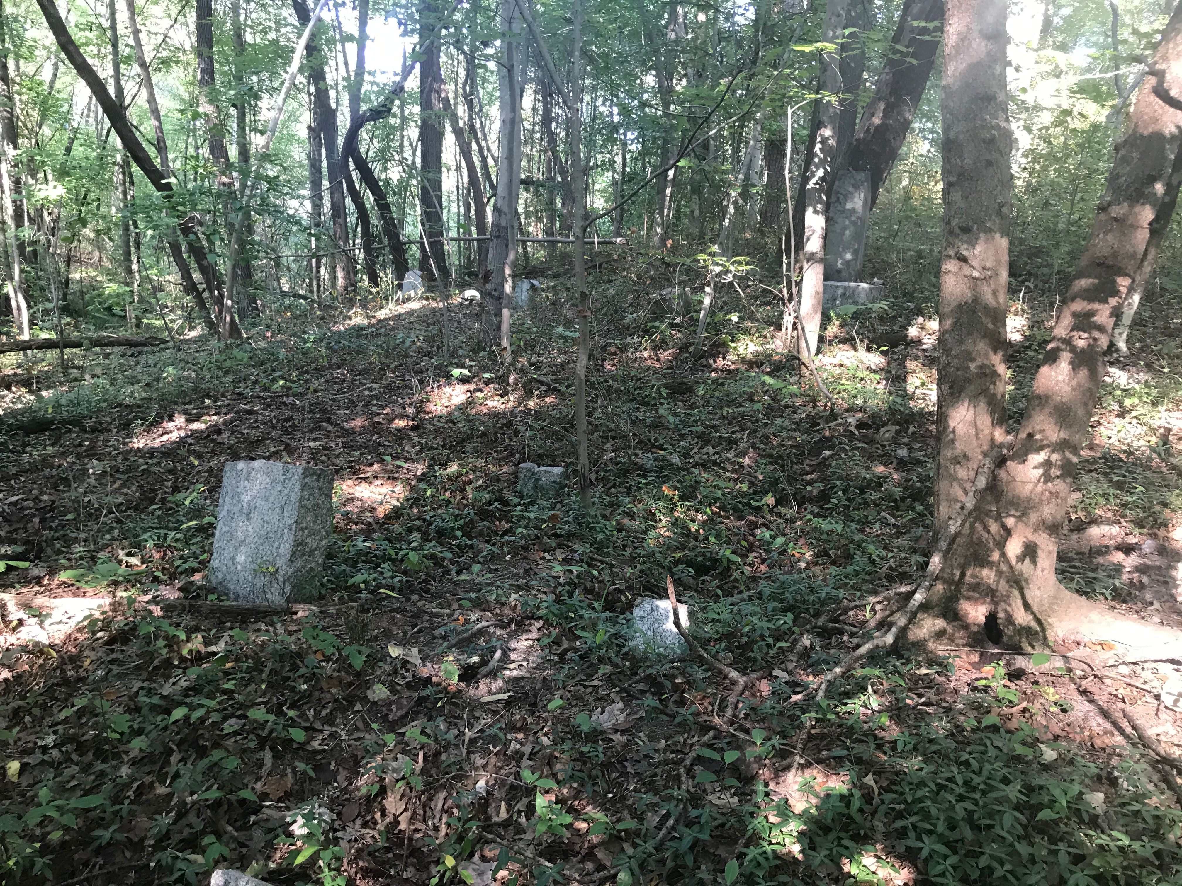
| Description | : | African American cemetery. Information taken from the Cemetery Census Directions: From intersection of US Hwy 52 and 601 in Mt. Airy, go north on US Hwy 52 (N Andy Griffith Parkway) for 1.2 miles. Cemetery on the right. It is not visible from the highway but is located about half way between West Pine St (NC Hwy 89) and the Bright Leaf Drive In Theater on 1.15 acres. The only place to park is in the Bright Leaf driveway exit. The cemetery is located south of the exit driveway and one must cross private property to get there. Large cemetery (some have... Read More |
frequently asked questions (FAQ):
-
Where is Catus Cemetery?
Catus Cemetery is located at Mount Airy, Surry County ,North Carolina ,USA.
-
Catus Cemetery cemetery's updated grave count on graveviews.com?
12 memorials
-
Where are the coordinates of the Catus Cemetery?
Latitude: 36.5006111
Longitude: -80.6212222
Nearby Cemetories:
1. Old Hollow Primitive Baptist Church Cemetery
Toast, Surry County, USA
Coordinate: 36.4987221, -80.6281967
2. Mountain View Cemetery
Mount Airy, Surry County, USA
Coordinate: 36.5029660, -80.6304380
3. Sandy Level Cemetery
Toast, Surry County, USA
Coordinate: 36.5031013, -80.6307983
4. Critz Family Cemetery
Surry County, USA
Coordinate: 36.4960000, -80.6339170
5. First Baptist Church Columbarium
Mount Airy, Surry County, USA
Coordinate: 36.5071760, -80.6085860
6. First Presbyterian Church Columbarium
Mount Airy, Surry County, USA
Coordinate: 36.4971990, -80.6057260
7. Norman Family Cemetery
Mount Airy, Surry County, USA
Coordinate: 36.4867516, -80.6183090
8. Old Methodist Cemetery
Mount Airy, Surry County, USA
Coordinate: 36.4948349, -80.6033630
9. Creasy Family Cemetery
Mount Airy, Surry County, USA
Coordinate: 36.5131389, -80.6359722
10. Campbell Cemetery
Mount Airy, Surry County, USA
Coordinate: 36.5135841, -80.6048172
11. Grace Moravian God's Acre
Mount Airy, Surry County, USA
Coordinate: 36.5180016, -80.6042480
12. Oakdale Cemetery
Mount Airy, Surry County, USA
Coordinate: 36.5177994, -80.6025009
13. Whitlock Family Cemetery
Mount Airy, Surry County, USA
Coordinate: 36.4813056, -80.6422222
14. Creed Family Cemetery
Mount Airy, Surry County, USA
Coordinate: 36.4905280, -80.6525830
15. Midway Baptist Church Cemetery
Mount Airy, Surry County, USA
Coordinate: 36.5254170, -80.6467220
16. Westside Baptist Church Cemetery
Toast, Surry County, USA
Coordinate: 36.4859720, -80.6574720
17. Mount Calvary Christian Methodist Episcopal Cemetery
Combstown, Surry County, USA
Coordinate: 36.5005470, -80.5794810
18. Shining Light Baptist Cemetery
Mount Airy, Surry County, USA
Coordinate: 36.5222206, -80.6586075
19. Flat Rock Baptist Cemetery
Flat Rock, Surry County, USA
Coordinate: 36.5085983, -80.5749969
20. Oak Grove United Methodist Church Cemetery
Oak Grove (Mount Airy South), Surry County, USA
Coordinate: 36.4899770, -80.5757520
21. Ararat Cemetery
Mount Airy, Surry County, USA
Coordinate: 36.5307999, -80.5922012
22. Skyline Memory Gardens
Mount Airy, Surry County, USA
Coordinate: 36.4745610, -80.5856500
23. Johnson Family Cemetery
Mount Airy, Surry County, USA
Coordinate: 36.5037500, -80.6698330
24. Genesis Full Gospel Church Cemetery
Toast, Surry County, USA
Coordinate: 36.5120010, -80.6711960