| Memorials | : | 0 |
| Location | : | Dixie, Callaway County, USA |
| Coordinate | : | 38.6309800, -91.9638300 |
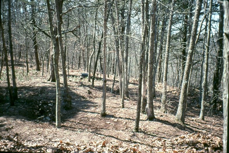
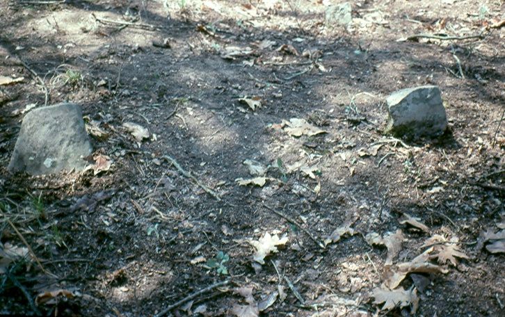
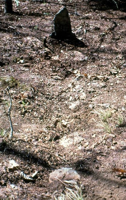
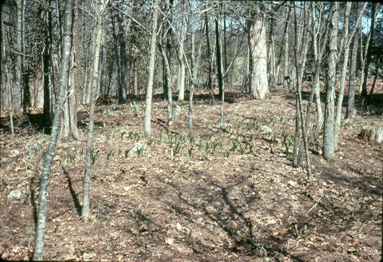
| Description | : | Cave African Methodist Episcopal Church, also known as Cedar Grove AME. This map of Callaway County, Missouri cemeteries indicates that there was also a Cave family cemetery nearby: http://www.usgennet.org/usa/mo/county/callaway/Cem_Callaway.html Cave's Church was closed in 1949 after most of its members moved away to find work. The few members who were left then joined Oakley AME Chapel, located about seven miles south near the town of Tebbett. Oakley's exact location is at County Road 485 at intersection of County Road 486 (east side), Tebbetts, Callaway Co., MO. Cave's Church was frequently visited by the minister who served Oakley Chapel. The community is documented in Brett... Read More |
frequently asked questions (FAQ):
-
Where is Cave African Methodist Episcopal Church Cemetery?
Cave African Methodist Episcopal Church Cemetery is located at Dixie, Callaway County ,Missouri ,USA.
-
Cave African Methodist Episcopal Church Cemetery cemetery's updated grave count on graveviews.com?
0 memorials
-
Where are the coordinates of the Cave African Methodist Episcopal Church Cemetery?
Latitude: 38.6309800
Longitude: -91.9638300
Nearby Cemetories:
1. High Hill Cemetery
Callaway County, USA
Coordinate: 38.6211014, -91.9961014
2. Groves Cemetery #2
Bonnots Mill, Osage County, USA
Coordinate: 38.6147665, -91.9164862
3. Farmer Cemetery
Callaway County, USA
Coordinate: 38.6369019, -92.0194016
4. Middle River Cemetery
Callaway County, USA
Coordinate: 38.6632996, -91.9257965
5. Groves Cemetery
Bonnots Mill, Osage County, USA
Coordinate: 38.5945734, -91.9305483
6. McKnight Cemetery
Bonnots Mill, Osage County, USA
Coordinate: 38.5780890, -91.9648950
7. Saint Louis Catholic Church Cemetery
Bonnots Mill, Osage County, USA
Coordinate: 38.5771000, -91.9551000
8. Verdot Cemetery
Bonnots Mill, Osage County, USA
Coordinate: 38.5764008, -91.9546967
9. Weislocher Cemetery
Chamois, Osage County, USA
Coordinate: 38.6190780, -91.8923520
10. Weissenbach Cemetery
Osage County, USA
Coordinate: 38.6192017, -91.8918991
11. Liberty Methodist Church Cemetery
Liberty, Callaway County, USA
Coordinate: 38.6889992, -91.9587021
12. Stony Ridge Cemetery
Bonnots Mill, Osage County, USA
Coordinate: 38.5700850, -91.9706080
13. Kemp Family Cemetery #1
Mokane, Callaway County, USA
Coordinate: 38.6874250, -91.9264460
14. Boyce Cemetery
Callaway County, USA
Coordinate: 38.6646996, -92.0355988
15. Mount Tabor Cemetery
Fulton, Callaway County, USA
Coordinate: 38.6958008, -91.9522018
16. Smith Cemetery
Osage County, USA
Coordinate: 38.5750008, -91.9100037
17. Mount Pleasant Cemetery
Callaway County, USA
Coordinate: 38.5877800, -92.0427800
18. South Cemetery
Linn, Osage County, USA
Coordinate: 38.6380997, -91.8668976
19. Cave Cemetery
Callaway County, USA
Coordinate: 38.6974983, -92.0119019
20. Our Lady of Help Cemetery
Osage County, USA
Coordinate: 38.5778008, -91.8930969
21. Garden of Gethsemane Cemetery
Frankenstein, Osage County, USA
Coordinate: 38.5778900, -91.8928800
22. Farmer Cemetery
New Bloomfield, Callaway County, USA
Coordinate: 38.6813900, -92.0402800
23. Bull Cemetery
Holts Summit, Callaway County, USA
Coordinate: 38.6444016, -92.0631027
24. Pioneer Smith Cemetery
Mokane, Callaway County, USA
Coordinate: 38.6761100, -91.8763900


