
| Memorials | : | 29 |
| Location | : | Sanderson, Baker County, USA |
| Coordinate | : | 30.2894001, -82.2791977 |
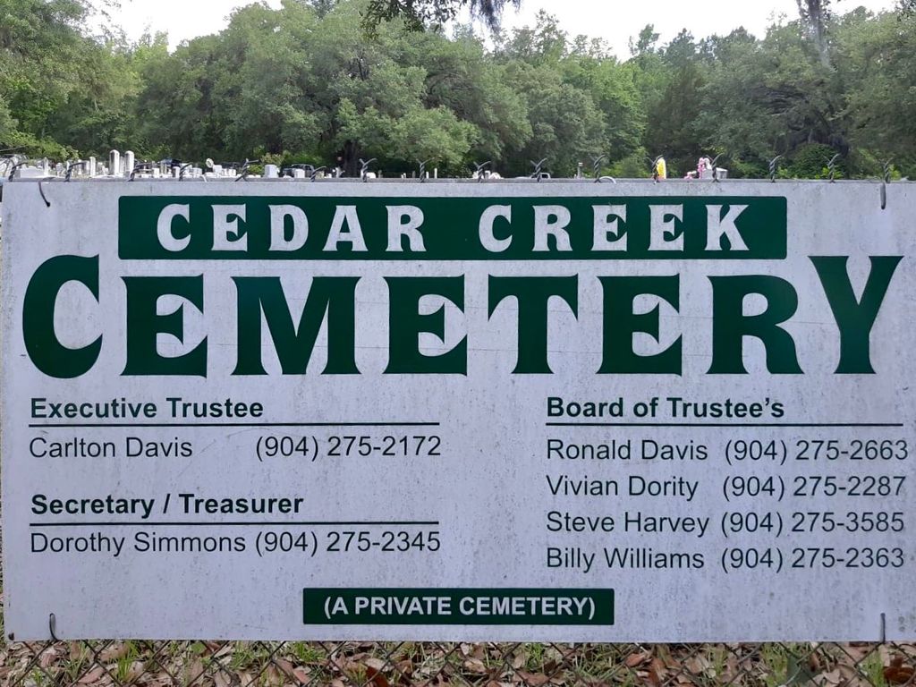
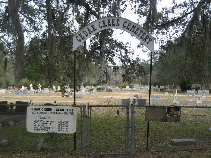
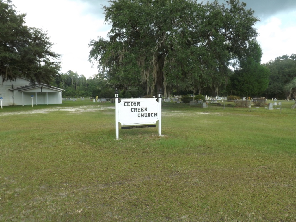
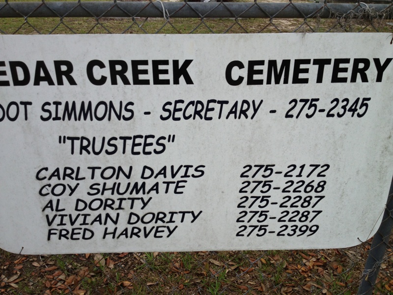
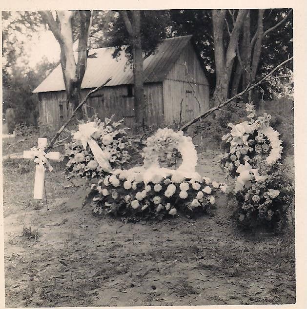
| Description | : | Cedar Creek Cemetery is a private family cemetery and is located along County Road 124, next to Cedar Creek Church in Sanderson, Florida. It is one of the oldest cemeteries in Baker County with many Florida pioneer families buried there. According to local historian Gene Barber, "Sanderson started as an entity about 3 1/2 miles north of its present location and was on the old plank Jacksonville-Tallahassee road. Its name was Cedar Creek and a congestion of residents was known to be there prior to 1840, a result of settlers keeping close to a fortified site near the present Cedar... Read More |
frequently asked questions (FAQ):
-
Where is Cedar Creek Cemetery?
Cedar Creek Cemetery is located at Sanderson, Baker County ,Florida ,USA.
-
Cedar Creek Cemetery cemetery's updated grave count on graveviews.com?
26 memorials
-
Where are the coordinates of the Cedar Creek Cemetery?
Latitude: 30.2894001
Longitude: -82.2791977
Nearby Cemetories:
1. Quitman Cemetery
Sanderson, Baker County, USA
Coordinate: 30.2535992, -82.2600021
2. Turner Cemetery
Glen Saint Mary, Baker County, USA
Coordinate: 30.3369007, -82.2300034
3. South Prong Cemetery
Sanderson, Baker County, USA
Coordinate: 30.2037100, -82.2540100
4. Powers Family Cemetery
Glen Saint Mary, Baker County, USA
Coordinate: 30.2934543, -82.1588233
5. Manntown Cemetery
Glen Saint Mary, Baker County, USA
Coordinate: 30.2478008, -82.1660995
6. John D. Williams Cemetery
Sanderson, Baker County, USA
Coordinate: 30.3916874, -82.3178101
7. Monument Cemetery
Olustee, Baker County, USA
Coordinate: 30.2124120, -82.3905040
8. Family Tree Cemetery
Saint George, Charlton County, USA
Coordinate: 30.3598360, -82.1614380
9. Macedonia Cemetery
Macclenny, Baker County, USA
Coordinate: 30.3347893, -82.1435165
10. Oak Grove Cemetery
Macclenny, Baker County, USA
Coordinate: 30.3529540, -82.1527520
11. Woodlawn Cemetery
Macclenny, Baker County, USA
Coordinate: 30.2574997, -82.1331024
12. Sands-Thrift Cemetery
Moniac, Charlton County, USA
Coordinate: 30.3861710, -82.1763350
13. Calvin W. Hodges Family Cemetery
Macclenny, Baker County, USA
Coordinate: 30.2577880, -82.1315790
14. Mount Herman Cemetery
Macclenny, Baker County, USA
Coordinate: 30.2551003, -82.1258926
15. Taylor Cemetery
Taylor, Baker County, USA
Coordinate: 30.4357370, -82.2915009
16. Pleasant Grove Primitive Baptist Cemetery
Baker County, USA
Coordinate: 30.4381590, -82.2693210
17. Arline Cemetery
Olustee, Baker County, USA
Coordinate: 30.2035500, -82.4235800
18. Magnolia-Knabb Cemetery
Sanderson, Baker County, USA
Coordinate: 30.4301045, -82.2131155
19. Olustee Cemetery
Olustee, Baker County, USA
Coordinate: 30.2033500, -82.4251000
20. E D Henson Cemetery
Sanderson, Baker County, USA
Coordinate: 30.2027957, -82.4289876
21. Dyess Cemetery
Olustee, Baker County, USA
Coordinate: 30.2033005, -82.4308014
22. Unidentified Cemetery
Sanderson, Baker County, USA
Coordinate: 30.4653397, -82.2954659
23. Veterans Cemetery
Macclenny, Baker County, USA
Coordinate: 30.4656972, -82.2951361
24. North Prong Cemetery
Baxter, Baker County, USA
Coordinate: 30.4577100, -82.2089800