
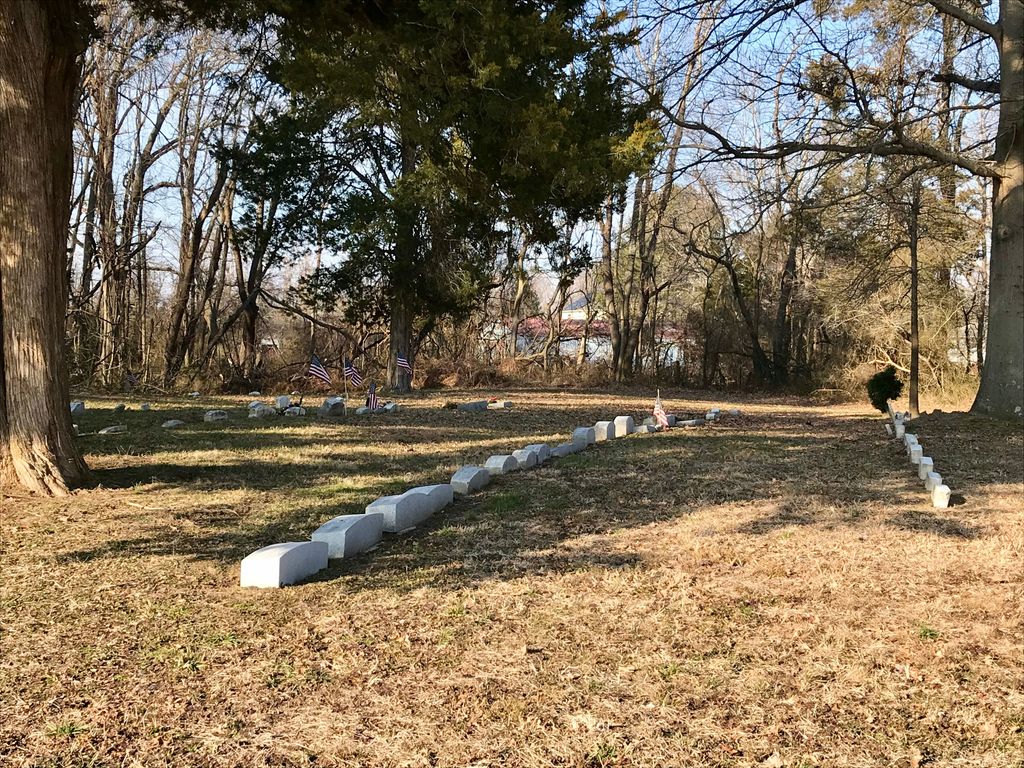
| Memorials | : | 0 |
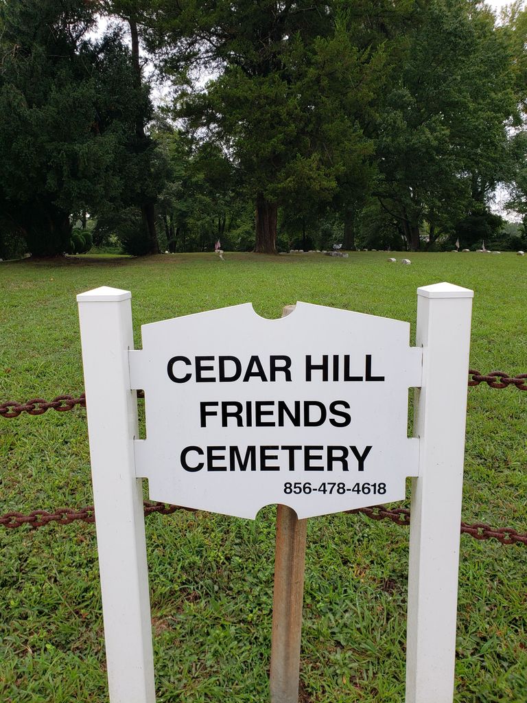
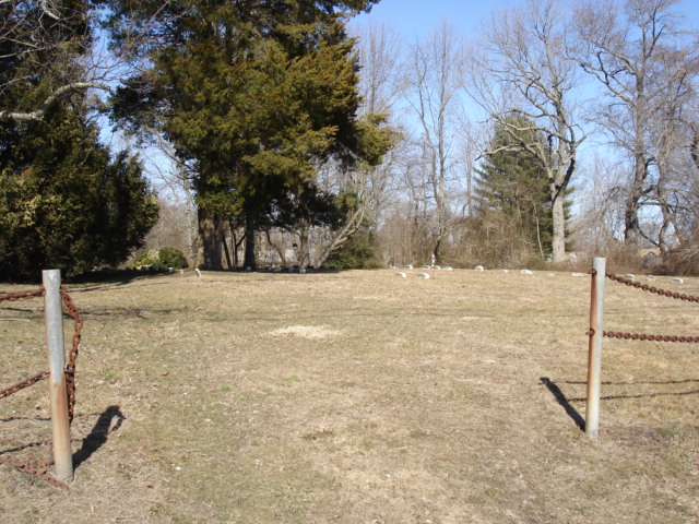
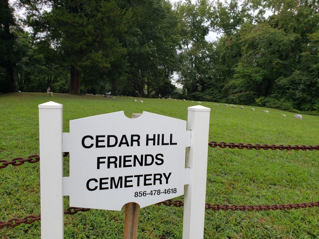
| Location | : | Harmersville, Salem County, USA |
| Coordinate | : | 39.5014720, -75.4387800 |
| Description | : | About 6.5 miles south of Salem, NJ. From Salem, Yorke Street south, becomes Salem-Hancocks Bridge Road. Cross the bridge over Alloway Creek with the Hancock House on the right. Continue south. A short distance on the right at Buttonwood Ave., you can turn to see the Lower Alloways Creek Meetinghouse. Otherwise continue south and turn left at the T. Take the next right onto Hancock Bridge-Harmersville Road. Cemetery is on the left about 3/5 of a mile further. |
frequently asked questions (FAQ):
-
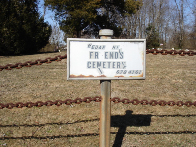
Where is Cedar Hill Friends Cemetery?
Cedar Hill Friends Cemetery is located at Hancocks Bridge Harmersville Road (County Road 658) Harmersville, Salem County ,New Jersey , 08079USA.
-
Cedar Hill Friends Cemetery cemetery's updated grave count on graveviews.com?
0 memorials
-
Where are the coordinates of the Cedar Hill Friends Cemetery?
Latitude: 39.5014720
Longitude: -75.4387800

Nearby Cemetories:
1. Hancocks Bridge United Methodist Church Cemetery
Harmersville, Salem County, USA
Coordinate: 39.5023537, -75.4411850
2. Alloway Creek Old Quaker Burial Ground
Lower Alloways Creek Township, Salem County, USA
Coordinate: 39.5202900, -75.4597000
3. Canton Baptist Church Cemetery
Canton, Salem County, USA
Coordinate: 39.4799385, -75.4120789
4. Battle of Quintons Bridge Graveyard
Quinton, Salem County, USA
Coordinate: 39.5130650, -75.3884040
5. Cuff Cemetery
Canton, Salem County, USA
Coordinate: 39.4649391, -75.4077988
6. Berrys Chapel Cemetery
Quinton, Salem County, USA
Coordinate: 39.5137900, -75.3779510
7. Mill Hollow Cemetery
Quinton, Salem County, USA
Coordinate: 39.5563120, -75.4305770
8. Evergreen Cemetery
Salem, Salem County, USA
Coordinate: 39.5540000, -75.4652000
9. Mount Pisgah AME Cemetery
Salem County, USA
Coordinate: 39.5549700, -75.4663900
10. East View Cemetery
Salem, Salem County, USA
Coordinate: 39.5627480, -75.4561081
11. Baptist Cemetery
Salem, Salem County, USA
Coordinate: 39.5621681, -75.4611053
12. Saint Mary's Roman Catholic Cemetery
Salem, Salem County, USA
Coordinate: 39.5637856, -75.4684753
13. Mount Hope United Methodist Church Cemetery
Salem, Salem County, USA
Coordinate: 39.5660667, -75.4606781
14. First United Methodist Church Cemetery
Salem, Salem County, USA
Coordinate: 39.5695496, -75.4670868
15. First Presbyterian Cemetery
Salem, Salem County, USA
Coordinate: 39.5736351, -75.4648819
16. Salem Friends Burial Ground
Salem, Salem County, USA
Coordinate: 39.5732307, -75.4705963
17. Saint John's Episcopal Churchyard
Salem, Salem County, USA
Coordinate: 39.5744705, -75.4655151
18. Alloway Baptist Church Cemetery
Alloway, Salem County, USA
Coordinate: 39.5606308, -75.3655090
19. Alloway United Methodist Church Cemetery
Alloway, Salem County, USA
Coordinate: 39.5623207, -75.3586273
20. Marlboro Seventh Day Baptist Church Cemetery
Marlboro, Cumberland County, USA
Coordinate: 39.4899200, -75.3259500
21. Old Alloway Cemetery
Alloway, Salem County, USA
Coordinate: 39.5619545, -75.3549957
22. Ambury Hill Cemetery
Cumberland County, USA
Coordinate: 39.4175491, -75.3496552
23. Stewart Family Cemetery
Port Penn, New Castle County, USA
Coordinate: 39.5169296, -75.5840149
24. Greenwich Presbyterian Church Cemetery
Greenwich, Cumberland County, USA
Coordinate: 39.4126200, -75.3459800