
| Memorials | : | 0 |
| Location | : | Clay Township, Decatur County, USA |
| Coordinate | : | 39.2835999, -85.6466980 |
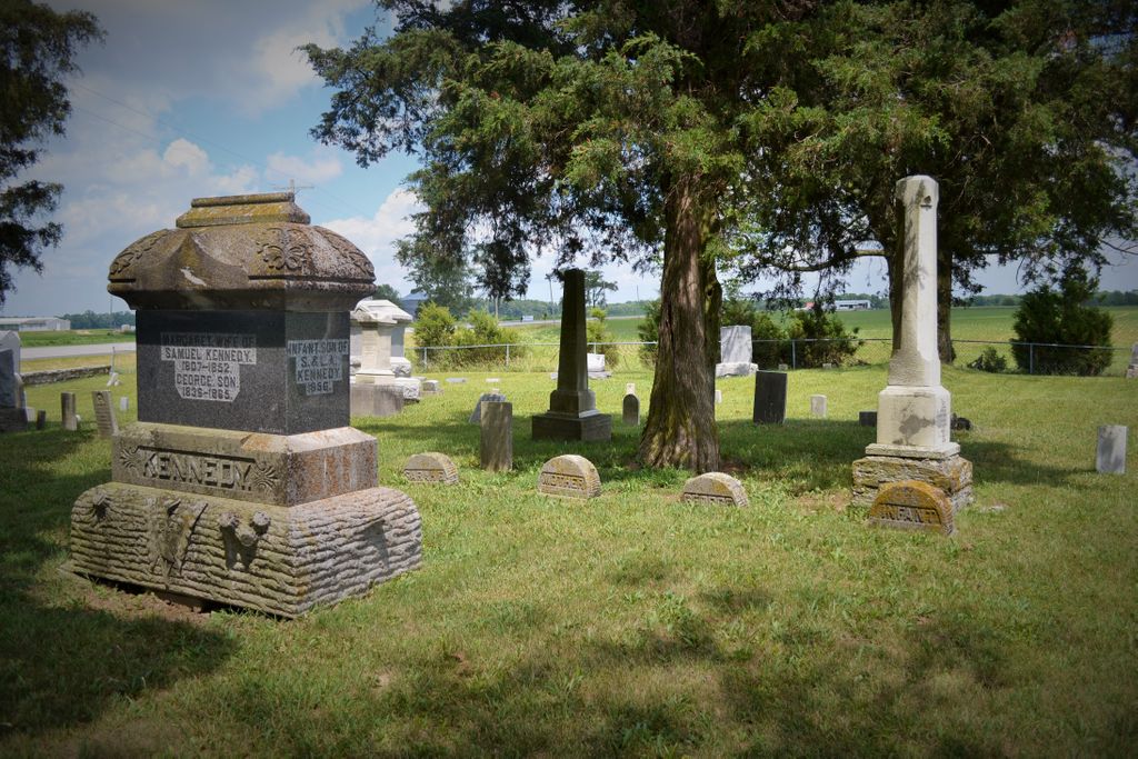
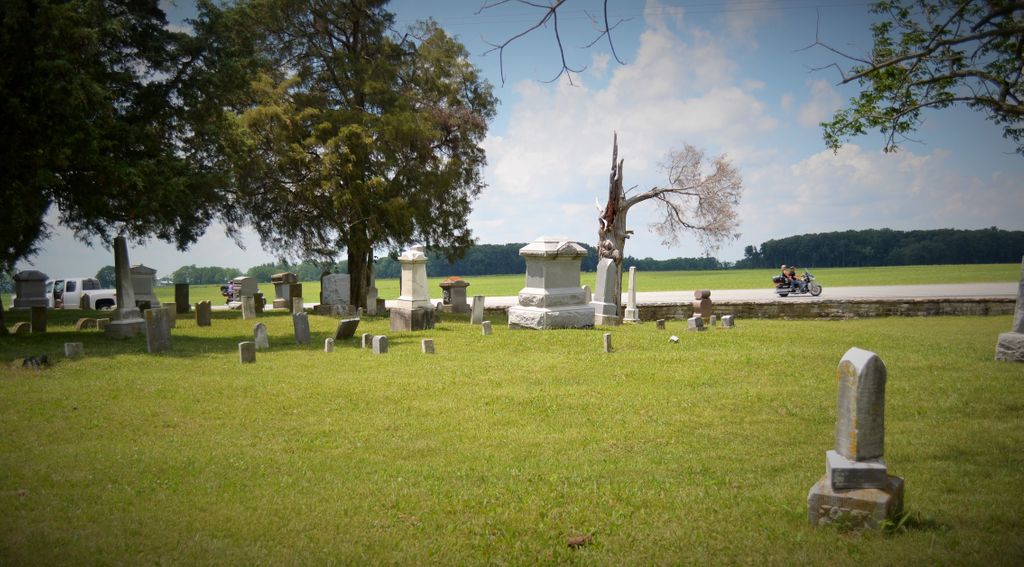
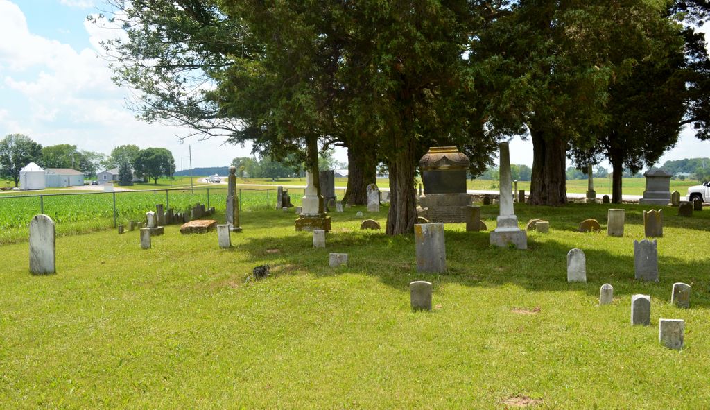
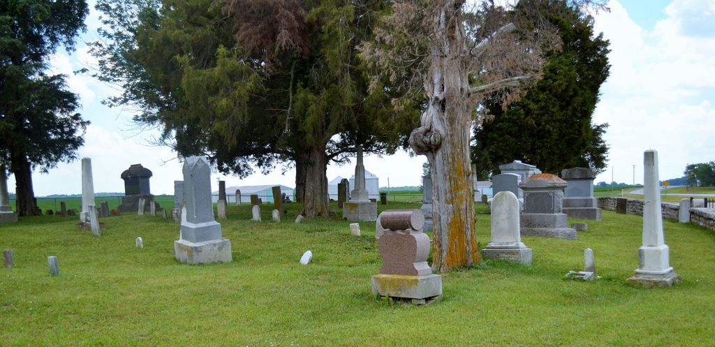
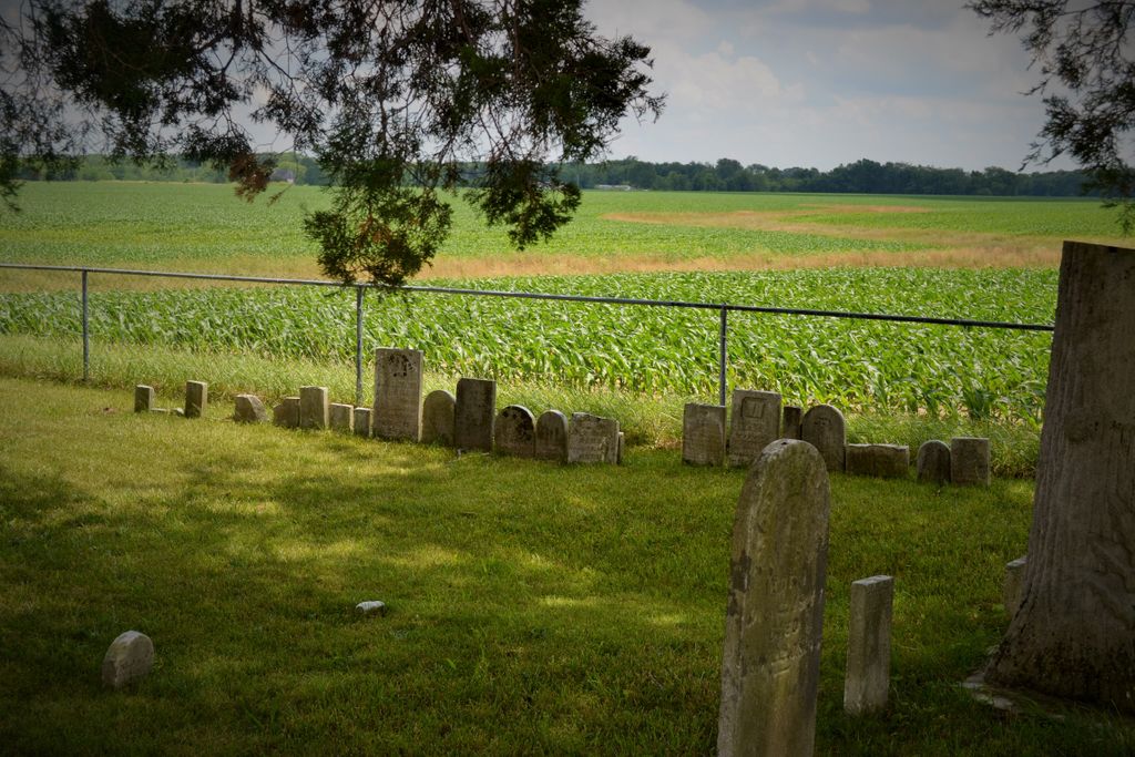
| Description | : | The cemetery is located in Clay Township (SE quadrant of the SW quadrant of the NW quadrant of Section 28 Township 10N Range 8E) on the south side of Indiana State Highway 46 about 0.4 miles west of its intersection with S County Road 850 W. Indiana Cemetery Locations, Volume 3, published by the Indiana Genealogical Society (April 2007), gives the primary cemetery name as Center Grove Cemetery. The cemetery is listed in the Cemetery and Burial Grounds Registry of the Indiana Department of Natural Resources (DNR) and in the State Historical Architectural and Archaeological Research Database (SHAARD)... Read More |
frequently asked questions (FAQ):
-
Where is Center Grove Cemetery?
Center Grove Cemetery is located at 8791 Indiana State Highway 46 Clay Township, Decatur County ,Indiana , 47240USA.
-
Center Grove Cemetery cemetery's updated grave count on graveviews.com?
0 memorials
-
Where are the coordinates of the Center Grove Cemetery?
Latitude: 39.2835999
Longitude: -85.6466980
Nearby Cemetories:
1. Swinney Cemetery
Clay Township, Decatur County, USA
Coordinate: 39.3055992, -85.6727982
2. Mount Pisgah Cemetery
Forest Hill, Decatur County, USA
Coordinate: 39.2482986, -85.6433029
3. Critser Cemetery
Bartholomew County, USA
Coordinate: 39.2931630, -85.6929550
4. Forest Hill Cemetery
Forest Hill, Decatur County, USA
Coordinate: 39.2587090, -85.6107178
5. Stucker Family Graves
Hartsville, Bartholomew County, USA
Coordinate: 39.2761940, -85.6961990
6. Hartsville Baptist Cemetery
Hartsville, Bartholomew County, USA
Coordinate: 39.2705956, -85.7003937
7. Patrick Cemetery
Decatur County, USA
Coordinate: 39.2714005, -85.5924988
8. Bryant Cemetery
Hartsville, Bartholomew County, USA
Coordinate: 39.2768200, -85.7029620
9. Hartsville College Cemetery
Hartsville, Bartholomew County, USA
Coordinate: 39.2621994, -85.6971970
10. Galbraith Cemetery
Bartholomew County, USA
Coordinate: 39.2985270, -85.7035250
11. Old Pumphrey Cemetery
Burney, Decatur County, USA
Coordinate: 39.3324000, -85.6604000
12. Henderson Family Graves
Hope, Bartholomew County, USA
Coordinate: 39.3184130, -85.7028330
13. Pumphrey Cemetery
Milford, Decatur County, USA
Coordinate: 39.3403470, -85.6374460
14. Columbia Cemetery
Clay Township, Decatur County, USA
Coordinate: 39.2677994, -85.5753021
15. Mount Pleasant Cemetery
Columbus, Bartholomew County, USA
Coordinate: 39.2327995, -85.6893997
16. Barr Family Cemetery
Burney, Decatur County, USA
Coordinate: 39.3204470, -85.5838830
17. Nauvoo Cemetery
Milford, Decatur County, USA
Coordinate: 39.3420430, -85.6749650
18. Herron Family Cemetery
Haw Creek Township, Bartholomew County, USA
Coordinate: 39.2680590, -85.7271220
19. Little Ebenezer Methodist Graveyard
Newbern, Bartholomew County, USA
Coordinate: 39.2589660, -85.7247410
20. Anderson-Remy Graveyard
Hope, Bartholomew County, USA
Coordinate: 39.2972730, -85.7334640
21. Lower Union Presbyterian Cemetery
Decatur County, USA
Coordinate: 39.2192001, -85.6125031
22. Milford Cemetery
Milford, Decatur County, USA
Coordinate: 39.3508415, -85.6178970
23. Mowrey Cemetery
Clay Township, Decatur County, USA
Coordinate: 39.3328018, -85.5792007
24. Shirk Cemetery
Decatur County, USA
Coordinate: 39.2111015, -85.6446991