
| Memorials | : | 0 |
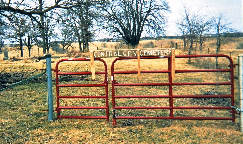
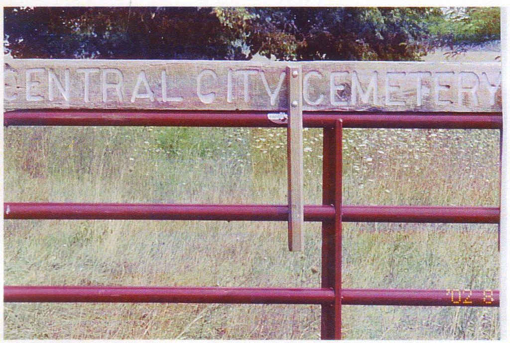
| Location | : | Central City, Putnam County, USA |
| Coordinate | : | 40.4747200, -93.1943600 |
| Description | : | Sometimes known as "Bishop Cemetery" or "Pearson Cemetery" Deed Book Volume 11, Page 379, Deed # CSS67 exempts the graveyard. Cemetery is back in a pasture on the east side fence, west of Midway, 9 miles west of Unionville MO north of US HWY 136. Old town of Central City existed as County Seat there in the center of Old Dodge County before 1853. Pearson Ridge angles northeast across West Locust Creek from "170th St" to the north of Central City. Many many children born and died between census years. Graves are probably the only remaining record of their lives. ... Read More |
frequently asked questions (FAQ):
-
Where is Central City Cemetery?
Central City Cemetery is located at Central City, Putnam County ,Missouri ,USA.
-
Central City Cemetery cemetery's updated grave count on graveviews.com?
0 memorials
-
Where are the coordinates of the Central City Cemetery?
Latitude: 40.4747200
Longitude: -93.1943600
Nearby Cemetories:
1. Morgan Cemetery
Putnam County, USA
Coordinate: 40.5100140, -93.1734180
2. Sprigg Cemetery
Lucerne, Putnam County, USA
Coordinate: 40.4603004, -93.2431030
3. Torrey Cemetery
Putnam County, USA
Coordinate: 40.5149994, -93.1947021
4. West Liberty Cemetery
Lucerne, Putnam County, USA
Coordinate: 40.4869385, -93.1308517
5. Cullor Cemetery
Putnam County, USA
Coordinate: 40.4477997, -93.1166992
6. Saint John Cemetery West
Putnam County, USA
Coordinate: 40.5425670, -93.1903500
7. Knight Cemetery
Putnam County, USA
Coordinate: 40.5389820, -93.1644060
8. Parsons Cemetery
Putnam County, USA
Coordinate: 40.4081001, -93.1686020
9. Dickson Cemetery
Unionville, Putnam County, USA
Coordinate: 40.4328003, -93.1119003
10. Howard Cemetery
Putnam County, USA
Coordinate: 40.4136009, -93.2564011
11. Lucerne Cemetery
Lucerne, Putnam County, USA
Coordinate: 40.4660780, -93.2954370
12. Wyreka Cemetery
Putnam County, USA
Coordinate: 40.5297012, -93.2794037
13. Crumpacker Cemetery
Unionville, Putnam County, USA
Coordinate: 40.4636002, -93.0785980
14. Union Church Cemetery
Unionville, Putnam County, USA
Coordinate: 40.5360985, -93.1057968
15. Old Baptist Cemetery
Putnam County, USA
Coordinate: 40.3930000, -93.1240000
16. Baptist Cemetery
Putnam County, USA
Coordinate: 40.3925018, -93.1239014
17. Busby Cemetery
Lucerne, Putnam County, USA
Coordinate: 40.4775009, -93.3460999
18. Old Busby Cemetery
Putnam County, USA
Coordinate: 40.4716988, -93.3471985
19. Powersville Cemetery
Powersville, Putnam County, USA
Coordinate: 40.5527992, -93.3131027
20. Medicineville Cemetery
Wayne County, USA
Coordinate: 40.5811005, -93.2878036
21. Lemonville Cemetery
Lemons, Putnam County, USA
Coordinate: 40.4085999, -93.0503006
22. Coffrin Cemetery
Union Township, Putnam County, USA
Coordinate: 40.5332712, -93.0401358
23. Pleasant View Cemetery
Wayne County, USA
Coordinate: 40.6072006, -93.1828003
24. Genoa Cemetery
Genoa, Wayne County, USA
Coordinate: 40.6044006, -93.1260986