
| Memorials | : | 0 |
| Location | : | Indianapolis, Marion County, USA |
| Website | : | www.imhm.org/Cemetery |
| Coordinate | : | 39.7670590, -86.2156420 |
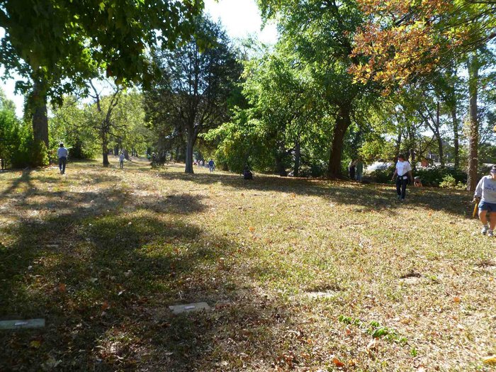
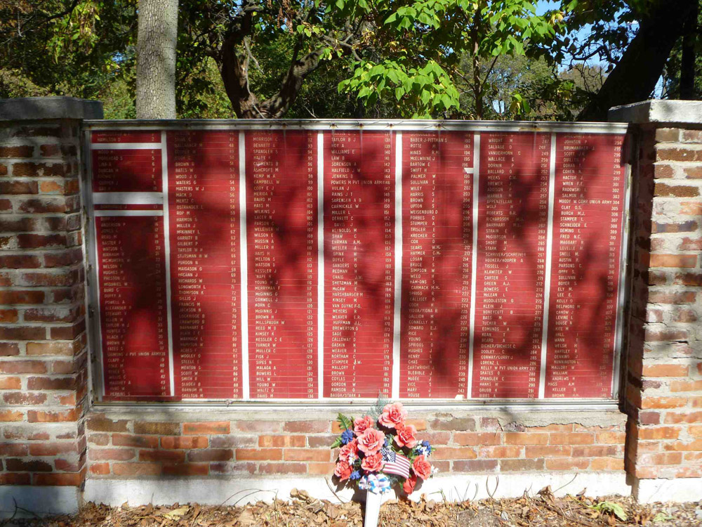
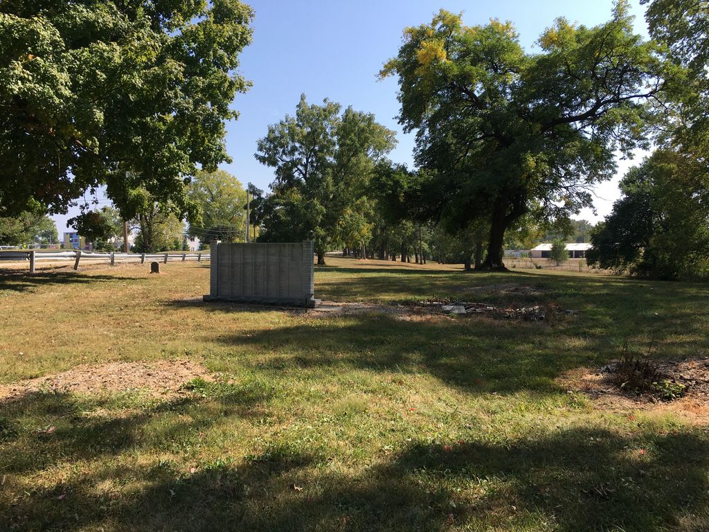
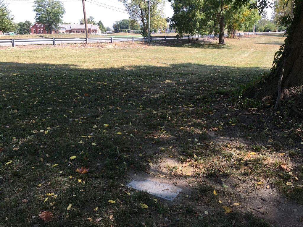
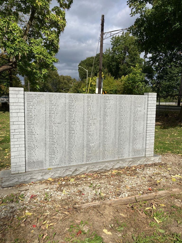
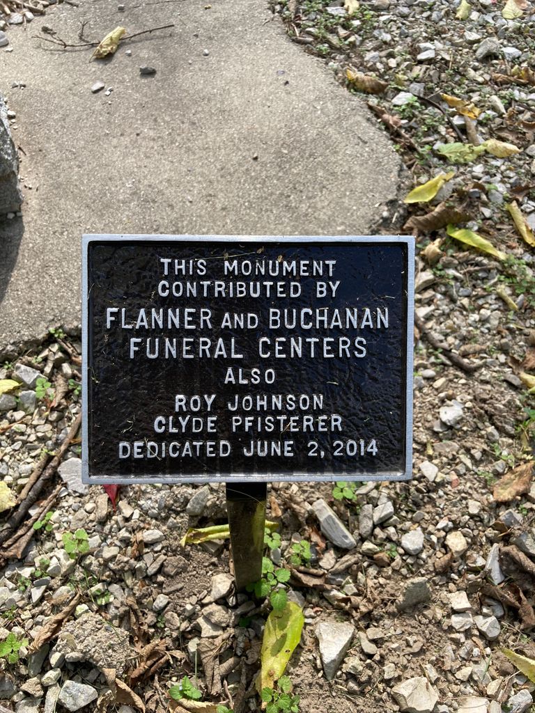
| Description | : | Central State Hospital Cemetery is on the west side of Indianapolis, Indiana in Marion County, Wayne Township. The hospital was built in 1846 and on November 21, 1848, the first 5 patients arrived, to be housed in the Hospital for the Insane. The hospital was located at the corner of W. Washington Street and Tibbs Ave. The cemetery is on the hospital grounds, and is in 4 sections. Burials dating back to the 1st burial on September 1905, and the last in September 1947. Early burials were in the northwestern part of the hospital grounds, known as Section 1. A... Read More |
frequently asked questions (FAQ):
-
Where is Central State Hospital Cemetery?
Central State Hospital Cemetery is located at W. Washington St. & Tibbs Ave. Indianapolis, Marion County ,Indiana , 46222USA.
-
Central State Hospital Cemetery cemetery's updated grave count on graveviews.com?
0 memorials
-
Where are the coordinates of the Central State Hospital Cemetery?
Latitude: 39.7670590
Longitude: -86.2156420

Nearby Cemetories:
1. Mount Jackson Cemetery
Indianapolis, Marion County, USA
Coordinate: 39.7691994, -86.2172012
2. Floral Park Cemetery
Indianapolis, Marion County, USA
Coordinate: 39.7706337, -86.2220001
3. Marion County Potters Field
Indianapolis, Marion County, USA
Coordinate: 39.7965450, -86.2160540
4. Patterson Cemetery
Indianapolis, Marion County, USA
Coordinate: 39.7763000, -86.1785500
5. Carmelite Monastery Cemetery
Indianapolis, Marion County, USA
Coordinate: 39.8004963, -86.2049704
6. Greenlawn Cemetery (Defunct)
Indianapolis, Marion County, USA
Coordinate: 39.7598900, -86.1704400
7. National Medal of Honor Memorial
Indianapolis, Marion County, USA
Coordinate: 39.7694092, -86.1688385
8. U.S.S. Indianapolis National Memorial
Indianapolis, Marion County, USA
Coordinate: 39.7770470, -86.1646340
9. Olive Branch M E Church Cemetery
Indianapolis, Marion County, USA
Coordinate: 39.8093420, -86.2164620
10. Wesley United Methodist Church Cemetery
Indianapolis, Marion County, USA
Coordinate: 39.8094220, -86.2164090
11. McElvaine Family Cemetery (Defunct)
Indianapolis, Marion County, USA
Coordinate: 39.8095680, -86.1867230
12. Mokame Kodesh Cemetery
Indianapolis, Marion County, USA
Coordinate: 39.7351189, -86.1683426
13. B'nai Torah Cemetery
Marion County, USA
Coordinate: 39.7354170, -86.1679440
14. Etz Chaim Sephardic South West Street Cemetery
Indianapolis, Marion County, USA
Coordinate: 39.7351580, -86.1642270
15. Beth-El Zedeck South Cemetery
Indianapolis, Marion County, USA
Coordinate: 39.7355440, -86.1635430
16. Congregation Esras Achem Cemetery
Marion County, USA
Coordinate: 39.7349790, -86.1638670
17. Ohev Zedeck Cemetery
Indianapolis, Marion County, USA
Coordinate: 39.7348110, -86.1630300
18. Etz Chaim Sephardic Kelly Street Cemetery
Indianapolis, Marion County, USA
Coordinate: 39.7348210, -86.1628920
19. United Hebrew Congregation Cemetery
Indianapolis, Marion County, USA
Coordinate: 39.7348170, -86.1624700
20. Knesses Israel Cemetery
Indianapolis, Marion County, USA
Coordinate: 39.7348050, -86.1622440
21. Shara Tefilo Cemetery
Indianapolis, Marion County, USA
Coordinate: 39.7348110, -86.1620160
22. Indianapolis Hebrew Congregation Cemetery South
Indianapolis, Marion County, USA
Coordinate: 39.7348320, -86.1609330
23. Rhoads Cemetery (Defunct)
Indianapolis, Marion County, USA
Coordinate: 39.7250250, -86.2609660
24. Holy Cross and Saint Joseph Cemetery
Indianapolis, Marion County, USA
Coordinate: 39.7323418, -86.1597824