
| Memorials | : | 0 |
| Location | : | Woodstock, Howard County, USA |
| Coordinate | : | 39.3532000, -76.8347200 |
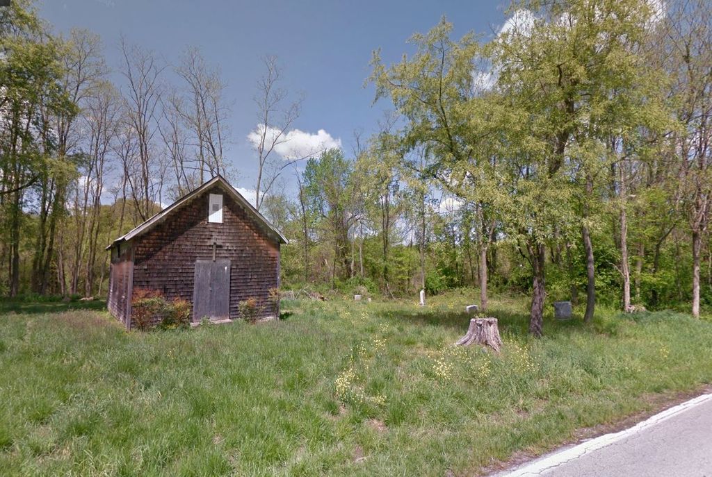
| Description | : | Full name Cherry Hill African Union Methodist Protestant Church Cemetery. |
frequently asked questions (FAQ):
-
Where is Cherry Hill AUMP Church Cemetery?
Cherry Hill AUMP Church Cemetery is located at 2461 Offutt Road Woodstock, Howard County ,Maryland , 21163USA.
-
Cherry Hill AUMP Church Cemetery cemetery's updated grave count on graveviews.com?
0 memorials
-
Where are the coordinates of the Cherry Hill AUMP Church Cemetery?
Latitude: 39.3532000
Longitude: -76.8347200
Nearby Cemetories:
1. Saint Pauls Methodist Episcopal Church Cemetery
Granite, Baltimore County, USA
Coordinate: 39.3431900, -76.8528100
2. Granite Presbyterian Cemetery
Granite, Baltimore County, USA
Coordinate: 39.3412300, -76.8531900
3. Holy Family Cemetery
Randallstown, Baltimore County, USA
Coordinate: 39.3752800, -76.8156000
4. Chevra Ahavas Chesed Cemetery
Randallstown, Baltimore County, USA
Coordinate: 39.3780500, -76.8208700
5. Shaarei Zion Cemetery Liberty Park
Randallstown, Baltimore County, USA
Coordinate: 39.3793600, -76.8196000
6. Beth El Memorial Park
Randallstown, Baltimore County, USA
Coordinate: 39.3800400, -76.8209600
7. Jesuit Cemetery
Baltimore County, USA
Coordinate: 39.3359000, -76.8662000
8. Woodstock College Jesuit Theologate Cemetery
Granite, Baltimore County, USA
Coordinate: 39.3357900, -76.8662000
9. Saint Alphonsus Cemetery
Granite, Baltimore County, USA
Coordinate: 39.3340900, -76.8660000
10. Quaker Hill Cemetery
Granite, Baltimore County, USA
Coordinate: 39.3235750, -76.8134020
11. Mount Paran Presbyterian Church Cemetery
Randallstown, Baltimore County, USA
Coordinate: 39.3911800, -76.8356800
12. Gary Memorial Methodist Church Cemetery
Ellicott City, Howard County, USA
Coordinate: 39.3153801, -76.8149719
13. Saint Stanislaus Kostka Catholic Church Cemetery
Daniels, Baltimore County, USA
Coordinate: 39.3169800, -76.8086600
14. Brown Family Cemetery at Good Fellowship
Woodstock, Howard County, USA
Coordinate: 39.3214800, -76.8762500
15. Mount Olive Cemetery
Randallstown, Baltimore County, USA
Coordinate: 39.3623400, -76.7769800
16. Saint Thomas Cemetery
Milford, Baltimore County, USA
Coordinate: 39.3605995, -76.7735977
17. Wards Chapel United Methodist Church Cemetery
Randallstown, Baltimore County, USA
Coordinate: 39.3956500, -76.8633600
18. Resurrection Acres Cemetery
Randallstown, Baltimore County, USA
Coordinate: 39.3353340, -76.7691617
19. Fuller-Kane-Smith Cemetery
Ellicott City, Howard County, USA
Coordinate: 39.2973310, -76.8458110
20. Good Shepherd Cemetery
Ellicott City, Howard County, USA
Coordinate: 39.2956009, -76.8106003
21. Oneal Cemetery
Marriottsville, Howard County, USA
Coordinate: 39.3485388, -76.9163338
22. Lake View Memorial Park
Sykesville, Carroll County, USA
Coordinate: 39.3966700, -76.8999600
23. Bihy Cemetery
Baltimore County, USA
Coordinate: 39.3278008, -76.7506027
24. Pine Orchard Methodist Episcopal Cemetery
Ellicott City, Howard County, USA
Coordinate: 39.2808610, -76.8619390