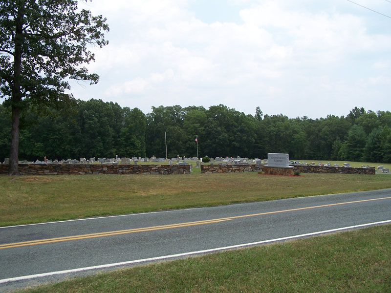
| Memorials | : | 796 |
| Location | : | Cheeks Township, Orange County, USA |
| Coordinate | : | 36.0364000, -79.1867000 |
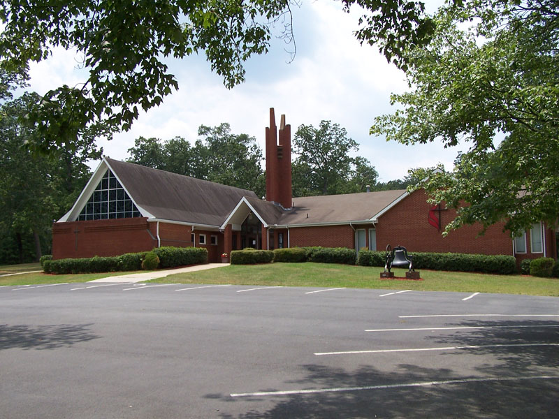
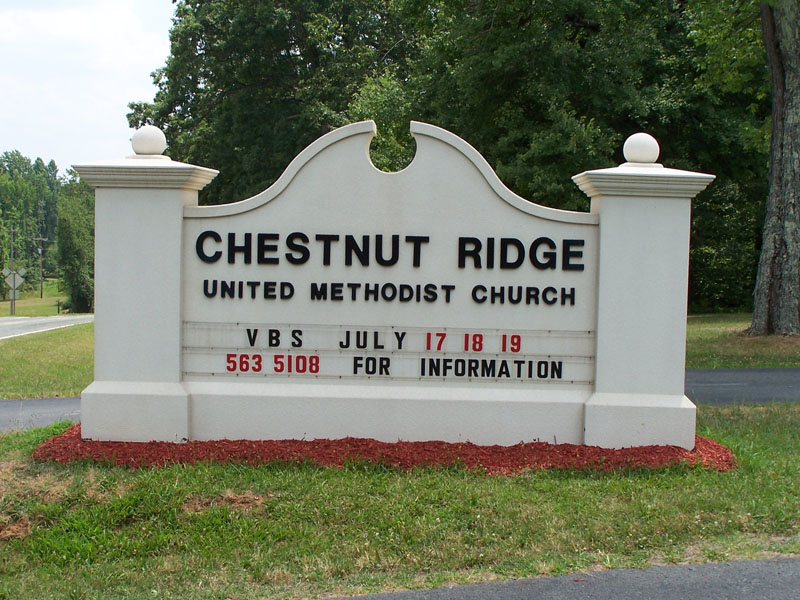
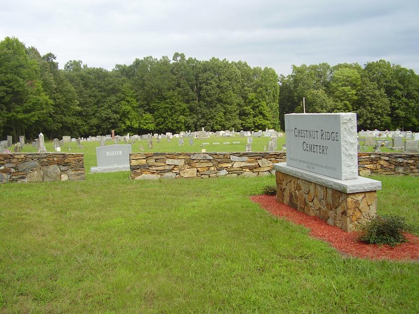
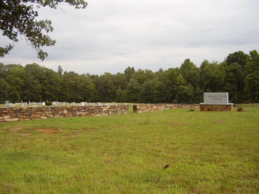
| Description | : | On Chestnut Church Road south of Efland near the intersection with Camp Chestnut Ridge Road. The church is on west side of Chestnut Church Road; the cemetery is on the east side of the road. |
frequently asked questions (FAQ):
-
Where is Chestnut Ridge United Methodist Church Cemetery?
Chestnut Ridge United Methodist Church Cemetery is located at Cheeks Township, Orange County ,North Carolina ,USA.
-
Chestnut Ridge United Methodist Church Cemetery cemetery's updated grave count on graveviews.com?
16 memorials
-
Where are the coordinates of the Chestnut Ridge United Methodist Church Cemetery?
Latitude: 36.0364000
Longitude: -79.1867000
Nearby Cemetories:
1. Eco-Eternity Forest
Cheeks Township, Orange County, USA
Coordinate: 36.0374950, -79.1954750
2. Central Baptist Church Cemetery
Cheeks Township, Orange County, USA
Coordinate: 36.0522000, -79.2208000
3. John Carr Family Cemetery
Bingham Township, Orange County, USA
Coordinate: 36.0158000, -79.1539000
4. Allens Chapel Cemetery
Cheeks Township, Orange County, USA
Coordinate: 36.0444000, -79.1444000
5. Harvey's Chapel A M E Church Old Cemetery
Cheeks Township, Orange County, USA
Coordinate: 36.0571000, -79.1509000
6. Faith Baptist Church Cemetery
Cheeks Township, Orange County, USA
Coordinate: 36.0691490, -79.2039210
7. Sykes Family Cemetery
Orange County, USA
Coordinate: 36.0023370, -79.2082930
8. Harvey's Chapel AME Church Cemetery
Cheeks Township, Orange County, USA
Coordinate: 36.0392000, -79.1389000
9. Wade Temple Holiness Church Cemetery
Efland, Orange County, USA
Coordinate: 36.0754000, -79.1801000
10. Moore-Waddell Graveyard
Cheeks Township, Orange County, USA
Coordinate: 36.0592000, -79.1453000
11. Cool Springs Baptist Church Cemetery
Efland, Orange County, USA
Coordinate: 36.0803000, -79.1833000
12. Efland Presbyterian Church Cemetery
Efland, Orange County, USA
Coordinate: 36.0815000, -79.1742830
13. Cross Roads Baptist Church Cemetery
Chapel Hill Township, Orange County, USA
Coordinate: 36.0297012, -79.1296997
14. William Cheek Cemetery
Bingham Township, Orange County, USA
Coordinate: 36.0141160, -79.2375180
15. Efland Methodist Church Cemetery
Efland, Orange County, USA
Coordinate: 36.0808000, -79.1681000
16. Oak Grove Baptist Church Cemetery
Bingham Township, Orange County, USA
Coordinate: 36.0025000, -79.2269000
17. Orange County Poor House Cemetery
Efland, Orange County, USA
Coordinate: 36.0816630, -79.1653213
18. Gospel Baptist Tabernacle Cemetery
Hillsborough Township, Orange County, USA
Coordinate: 36.0433000, -79.1272000
19. Lighthouse Baptist Church Cemetery
Cheeks Township, Orange County, USA
Coordinate: 36.0719000, -79.2327000
20. Chesley Andrews Family Cemetery
Bingham Township, Orange County, USA
Coordinate: 35.9867000, -79.1678000
21. Walker Memory Garden
Miles, Orange County, USA
Coordinate: 36.0838580, -79.2218970
22. Hunter's Chapel A M E Church Cemetery
Miles, Orange County, USA
Coordinate: 36.0837000, -79.2224000
23. Thompson - Efland Family Cemetery
Efland, Orange County, USA
Coordinate: 36.0897000, -79.1653000
24. Archibald Andrews Family Cemetery
Bingham Township, Orange County, USA
Coordinate: 35.9846000, -79.1580000

