| Memorials | : | 0 |
| Location | : | Chulahoma, Marshall County, USA |
| Coordinate | : | 34.6563570, -89.6147140 |
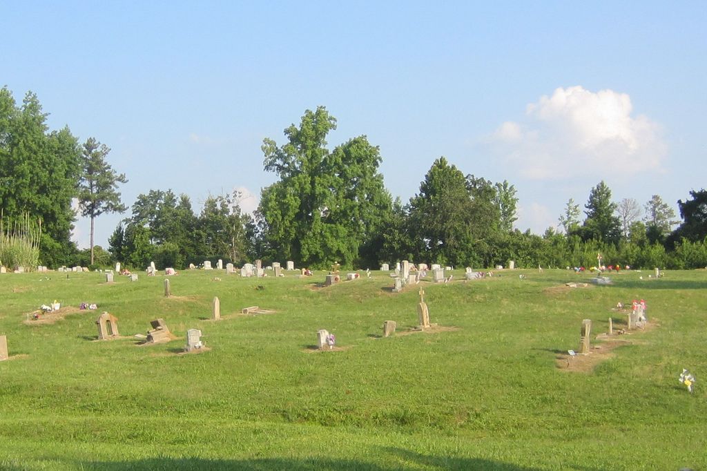
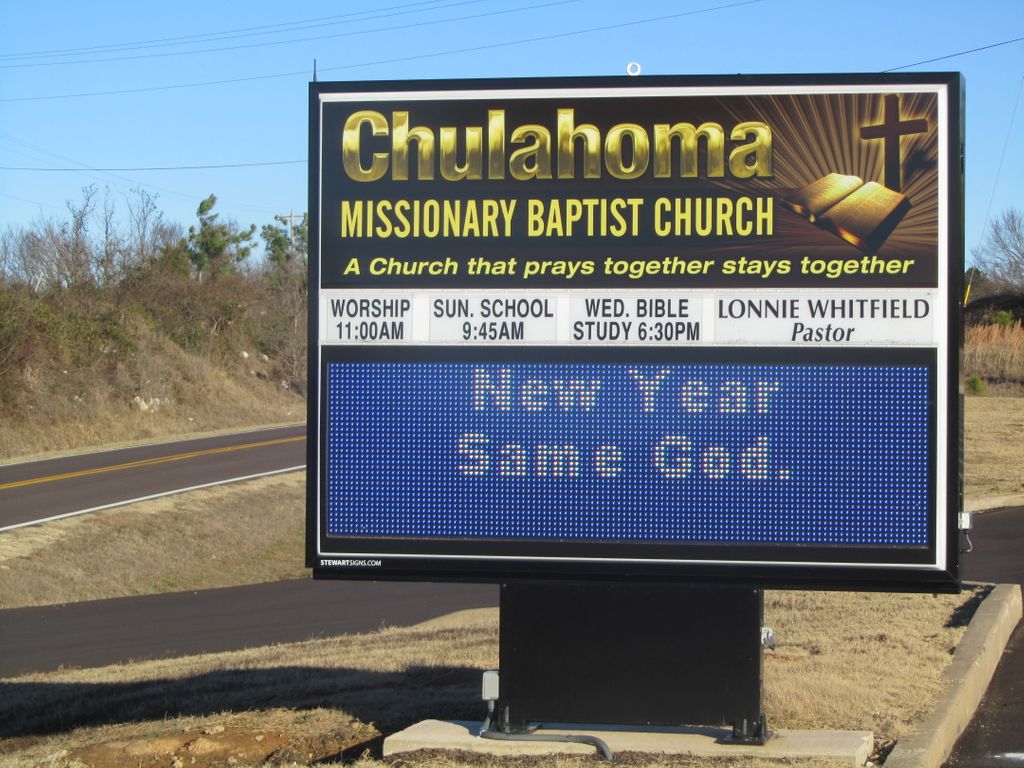
| Description | : | This cemetery is about a mile east of Chulahoma on highway 4, but has a Holly Springs, MS mailing address. Map name is Chulahoma - Marianna. From intersection of I-22 with MS-4/MS-7, travel southwest for 1.3 mi., then turn right onto MS-4 & travel 11.8 mi. past the church & to the driveway to the cemetery on the west side of the church. This is a large cemetery, that was damaged by the tornado in November of 2015, as was the church and surrounding area. |
frequently asked questions (FAQ):
-
Where is Chulahoma Missionary Baptist Church Cemetery?
Chulahoma Missionary Baptist Church Cemetery is located at MS-4 Chulahoma, Marshall County ,Mississippi ,USA.
-
Chulahoma Missionary Baptist Church Cemetery cemetery's updated grave count on graveviews.com?
0 memorials
-
Where are the coordinates of the Chulahoma Missionary Baptist Church Cemetery?
Latitude: 34.6563570
Longitude: -89.6147140
Nearby Cemetories:
1. Cox Cemetery
Chulahoma, Marshall County, USA
Coordinate: 34.6575150, -89.6133960
2. Street Family Cemetery
Marshall County, USA
Coordinate: 34.6532516, -89.6243210
3. Chulahoma Cemetery
Chulahoma, Marshall County, USA
Coordinate: 34.6481500, -89.6289700
4. Dean Family Cemetery West
Chulahoma, Marshall County, USA
Coordinate: 34.6370450, -89.6136900
5. Dean Family Cemetery East
Chulahoma, Marshall County, USA
Coordinate: 34.6370450, -89.6036900
6. Echols Cemetery
Holly Springs, Marshall County, USA
Coordinate: 34.6305600, -89.6322560
7. Echols-Hammond Cemetery
Chulahoma, Marshall County, USA
Coordinate: 34.6635610, -89.6499850
8. Bell Grove MB Church Cemetery
Chulahoma, Marshall County, USA
Coordinate: 34.6326610, -89.6377840
9. Brewer Cemetery
Marshall County, USA
Coordinate: 34.6530920, -89.5760790
10. Brooks Cemetery
Orion, Marshall County, USA
Coordinate: 34.6786000, -89.6447000
11. Mount Peel M.B. Church Cemetery
Laws Hill, Marshall County, USA
Coordinate: 34.6275870, -89.5804950
12. Mount Gillie Church Cemetery
Chulahoma, Marshall County, USA
Coordinate: 34.6563230, -89.5656840
13. Mount Gilead CME Church Cemetery
Holly Springs, Marshall County, USA
Coordinate: 34.6560000, -89.5652800
14. Wooten Cemetery
Marianna, Marshall County, USA
Coordinate: 34.7012110, -89.6027970
15. Jones Cemetery
Marianna, Marshall County, USA
Coordinate: 34.7014000, -89.5978012
16. Fowler Cemetery
Wyatte, Tate County, USA
Coordinate: 34.6726040, -89.6714020
17. Falkner Cemetery
Wyatte, Tate County, USA
Coordinate: 34.6483370, -89.6766970
18. Peel Cemetery
Laws Hill, Marshall County, USA
Coordinate: 34.6164780, -89.5695740
19. Tucker Cemetery
Marshall County, USA
Coordinate: 34.6094900, -89.6496700
20. Byrd Cemetery
Galena, Marshall County, USA
Coordinate: 34.6895600, -89.5591700
21. Smith Grove Cemetery
Marshall County, USA
Coordinate: 34.6932983, -89.5622025
22. Shady Grove CME Cemetery
Chulahoma, Marshall County, USA
Coordinate: 34.7079860, -89.6496400
23. Sharp Cemetery
Wyatte, Tate County, USA
Coordinate: 34.6791760, -89.6825810
24. Nevill Cemetery
Chulahoma, Marshall County, USA
Coordinate: 34.6611910, -89.5412630


