
| Memorials | : | 1 |
| Location | : | Hickory Township, Forest County, USA |
| Coordinate | : | 41.5654000, -79.3810000 |
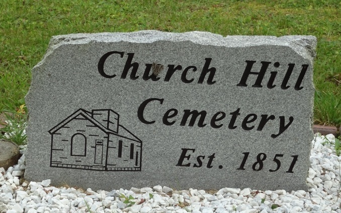
| Description | : | The cemetery is located on the west side of Posey Field Road / Church Hill Road at its intersection with Apple Avenue. The U.S. Geological Survey (USGS) Geographic Names Information System (GNIS) feature ID for the cemetery is 2802010 (Church Hill Cemetery). |
frequently asked questions (FAQ):
-
Where is Church Hill Cemetery?
Church Hill Cemetery is located at Posey Field Road / Church Hill Road Hickory Township, Forest County ,Pennsylvania , 16353USA.
-
Church Hill Cemetery cemetery's updated grave count on graveviews.com?
1 memorials
-
Where are the coordinates of the Church Hill Cemetery?
Latitude: 41.5654000
Longitude: -79.3810000
Nearby Cemetories:
1. Prather Family Cemetery
East Hickory, Forest County, USA
Coordinate: 41.5797539, -79.4001694
2. Siggins Family Cemetery
West Hickory, Forest County, USA
Coordinate: 41.5673940, -79.4132570
3. West Hickory Cemetery
Forest County, USA
Coordinate: 41.5726000, -79.4128000
4. Riverside East Hickory Cemetery
East Hickory, Forest County, USA
Coordinate: 41.5843658, -79.4049683
5. Methodist Church East Hickory Cemetery
Forest County, USA
Coordinate: 41.5864601, -79.4029999
6. Starr Cemetery
Church Hill, Forest County, USA
Coordinate: 41.5255165, -79.3642349
7. Fleming Cemetery
West Hickory, Forest County, USA
Coordinate: 41.5900590, -79.4263570
8. Wollaston Family Cemetery
Forest County, USA
Coordinate: 41.6109500, -79.4262600
9. Mount Zion Lutheran Cemetery
Kiser Corners, Forest County, USA
Coordinate: 41.5084000, -79.3731155
10. Kiffer Hill Cemetery
Endeavor, Forest County, USA
Coordinate: 41.5986328, -79.3137512
11. Townline Cemetery
Forest County, USA
Coordinate: 41.5794830, -79.3005295
12. Whig Hill Cemetery
Endeavor, Forest County, USA
Coordinate: 41.5527840, -79.2969666
13. Fagundas Cemetery
Forest County, USA
Coordinate: 41.6230000, -79.4285000
14. Riverside Cemetery
Tionesta, Forest County, USA
Coordinate: 41.4999504, -79.4566193
15. Stewart Run Cemetery
Stewart Run, Forest County, USA
Coordinate: 41.5569000, -79.4973000
16. Old Methodist Cemetery
Tionesta, Forest County, USA
Coordinate: 41.4908829, -79.4561005
17. Mount Collins Cemetery
Tionesta, Forest County, USA
Coordinate: 41.4902992, -79.4621964
18. Gorman Cemetery
Triumph, Warren County, USA
Coordinate: 41.6521988, -79.4507980
19. Valentine Farm Burial Ground
Triumph, Warren County, USA
Coordinate: 41.6378300, -79.4767700
20. Griffin Cemetery
Venango County, USA
Coordinate: 41.5934930, -79.5133780
21. Neilltown Cemetery
Neilltown, Forest County, USA
Coordinate: 41.6071400, -79.5069600
22. Connely Burial Ground
Stewart Run, Forest County, USA
Coordinate: 41.5256080, -79.5095160
23. Asbury Chapel Cemetery
Venango County, USA
Coordinate: 41.5558014, -79.5207977
24. Limestone Cemetery
Warren County, USA
Coordinate: 41.6711006, -79.3636017