
| Memorials | : | 43 |
| Location | : | Little Switzerland, Mitchell County, USA |
| Coordinate | : | 35.8508333, -82.0905556 |
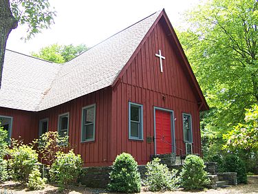
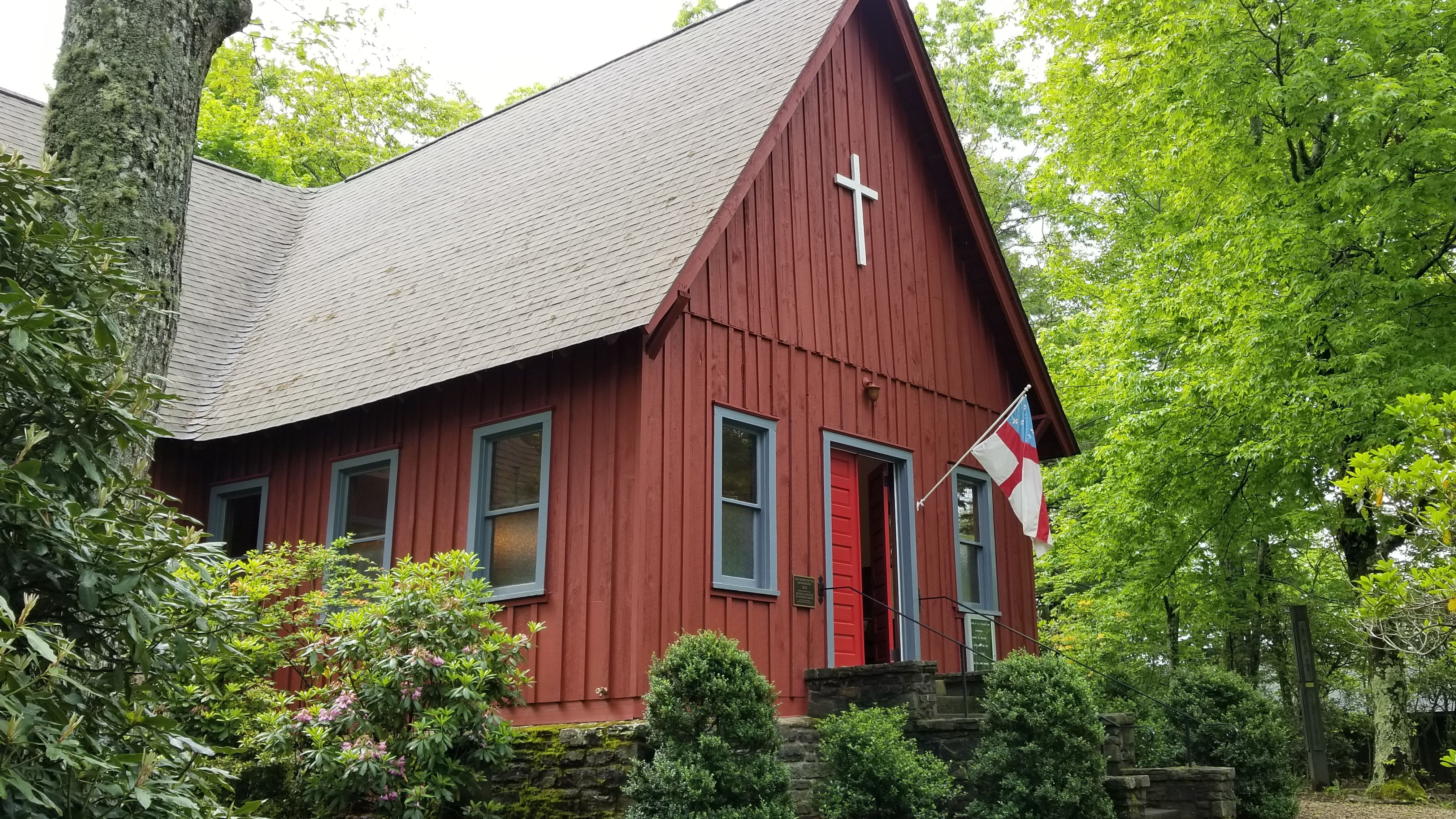
| Description | : | Church of the Resurrection (Little Switzerland, North Carolina) Location 302 High Ridge Rd., Little Switzerland, North Carolina Coordinates 35°51′3″N 82°5′26″WCoordinates: 35°51′3″N 82°5′26″W Area 0 acres (0 ha) Built 1912 Architect Osborne, Adlai Architectural style Cruciform plan NRHP Reference # 99000272[1] Added to NRHP March 05, 1999 Church of the Resurrection is a historic Episcopal[2] church located at 302 High Ridge Road in Little Switzerland, Mitchell County, North Carolina. The church was built in 1912 as a memorial to Fr. DuBose, an Episcopal priest. In the 1930s the church was moved from its original location 100 yards uphill, closer to the Blue... Read More |
frequently asked questions (FAQ):
-
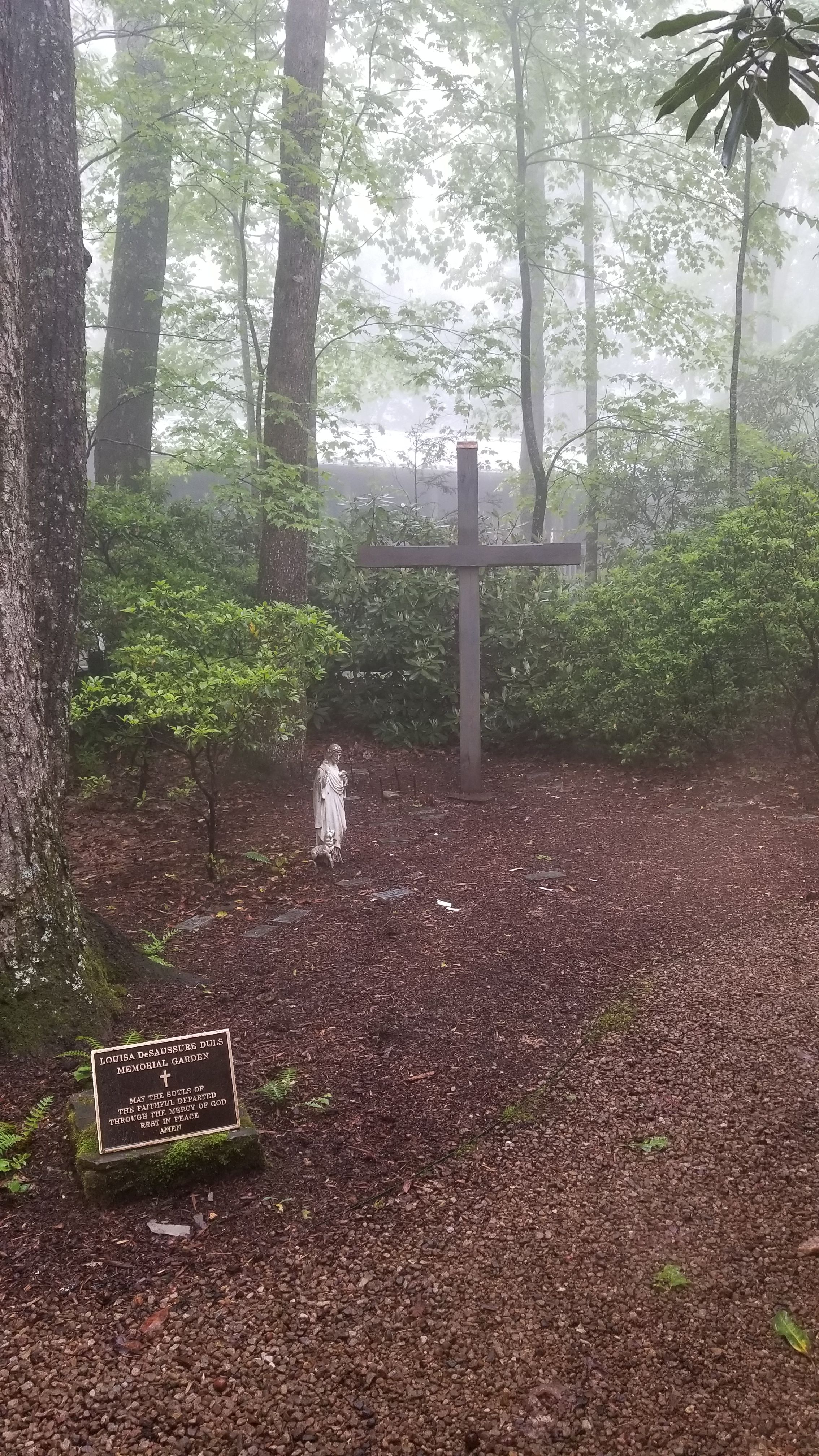
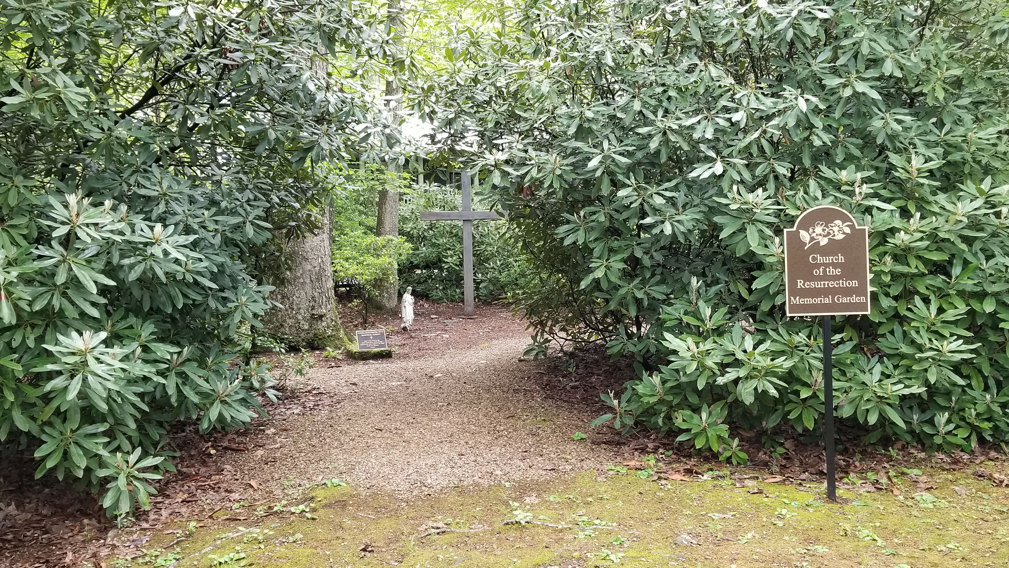
Where is Church of the Resurrection Memory Garden?
Church of the Resurrection Memory Garden is located at Little Switzerland, Mitchell County ,North Carolina ,USA.
-
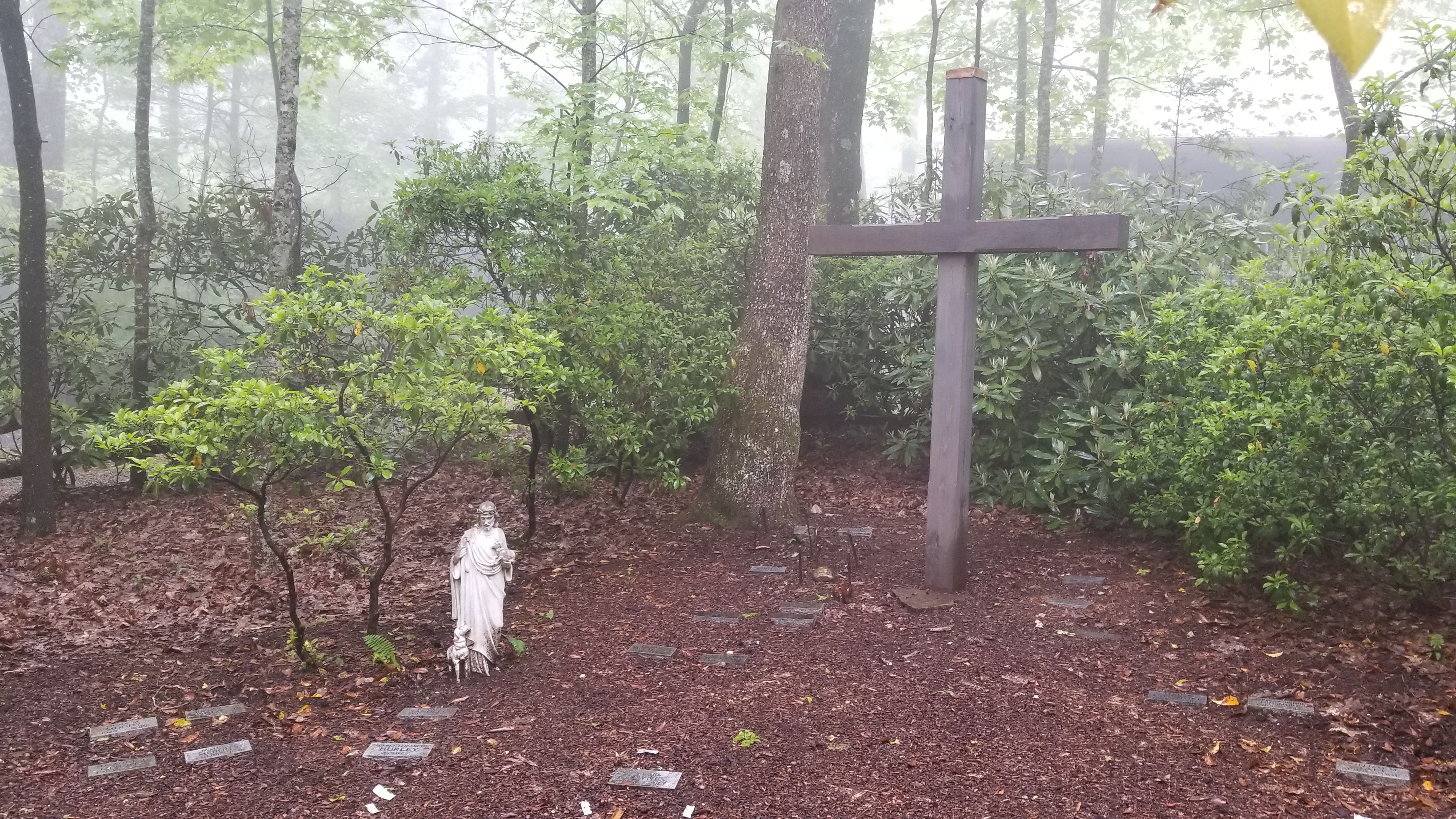
Church of the Resurrection Memory Garden cemetery's updated grave count on graveviews.com?
43 memorials
-
Where are the coordinates of the Church of the Resurrection Memory Garden?
Latitude: 35.8508333
Longitude: -82.0905556
Nearby Cemetories:
1. Buchanan Burial Ground
Little Switzerland, Mitchell County, USA
Coordinate: 35.8496080, -82.0910990
2. Burnett Cemetery
Little Switzerland, Mitchell County, USA
Coordinate: 35.8560982, -82.1035995
3. Collis Cemetery
Little Switzerland, Mitchell County, USA
Coordinate: 35.8628006, -82.1117020
4. Boyd Cemetery
Mitchell County, USA
Coordinate: 35.8444260, -82.1151260
5. Hollifield Cemetery
McDowell County, USA
Coordinate: 35.8280983, -82.0777969
6. Grassy Creek Memorial Cemetery
Grassy Creek, Mitchell County, USA
Coordinate: 35.8648220, -82.0451030
7. Greenlee Memorial Cemetery
Grassy Creek, Mitchell County, USA
Coordinate: 35.8831700, -82.0596700
8. Latter Day Saints Church Cemetery
McDowell County, USA
Coordinate: 35.8119910, -82.0704180
9. Grassy Creek Baptist Church Cemetery
Grassy Creek, Mitchell County, USA
Coordinate: 35.8813700, -82.0542130
10. McHone Cemetery
Mitchell County, USA
Coordinate: 35.8974991, -82.0892029
11. Stafford Cemetery
Mitchell County, USA
Coordinate: 35.8950005, -82.1207962
12. Fairview Baptist Church Cemetery
Celo, Yancey County, USA
Coordinate: 35.8549900, -82.1547700
13. Brinkley-Gillespie Cemetery
North Cove, McDowell County, USA
Coordinate: 35.8121380, -82.0469400
14. Spruce Pine Memorial Cemetery
Spruce Pine, Mitchell County, USA
Coordinate: 35.9035988, -82.0730972
15. Silvers Cemetery
Mitchell County, USA
Coordinate: 35.9042015, -82.1121979
16. Liberty Hill Baptist Church Cemetery
Spruce Pine, Mitchell County, USA
Coordinate: 35.9007600, -82.1272000
17. Lonon Cemetery
McDowell County, USA
Coordinate: 35.8367004, -82.0205994
18. Berry Chapel Baptist Cemetery
Spruce Pine, Mitchell County, USA
Coordinate: 35.9065422, -82.0622739
19. Tolley Cemetery
Spruce Pine, Mitchell County, USA
Coordinate: 35.9113998, -82.0824966
20. Ballew Cemetery
Yancey County, USA
Coordinate: 35.8344002, -82.1635971
21. Bracher Cemetery
Yancey County, USA
Coordinate: 35.8074989, -82.1489029
22. Biddix Cemetery
North Cove, McDowell County, USA
Coordinate: 35.8717003, -82.0141983
23. Cox Cemetery
Mitchell County, USA
Coordinate: 35.9039001, -82.1402969
24. Conley Family Cemetery
Old Fort, McDowell County, USA
Coordinate: 35.8173350, -82.0174260