
| Memorials | : | 7 |
| Location | : | Downham Market, Kings Lynn and West Norfolk Borough, England |
| Website | : | downhammarketburial.org/ |
| Coordinate | : | 52.6027720, 0.3807240 |
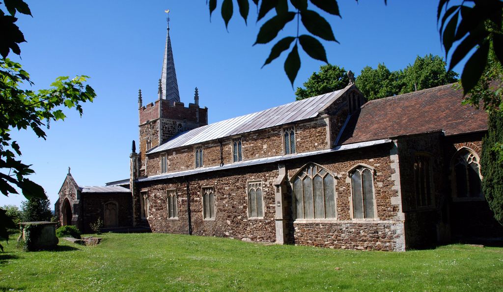
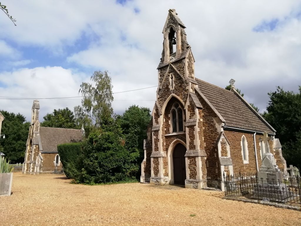
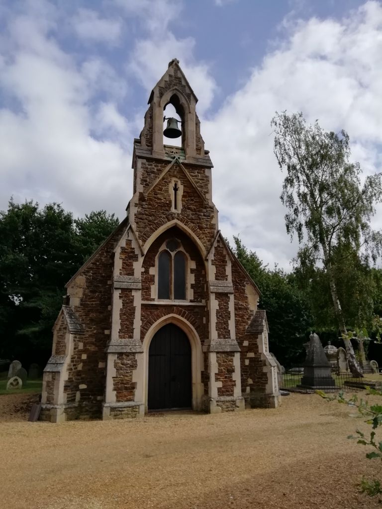
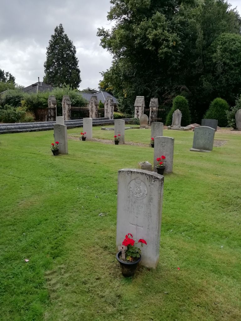
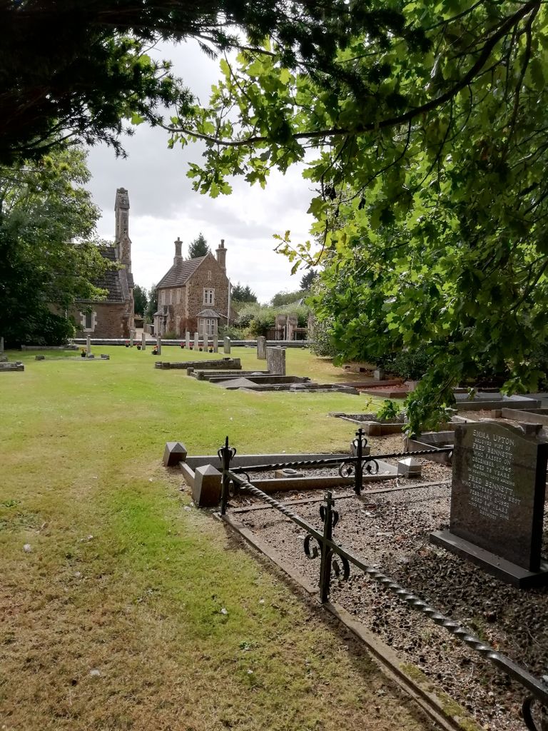
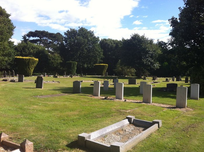
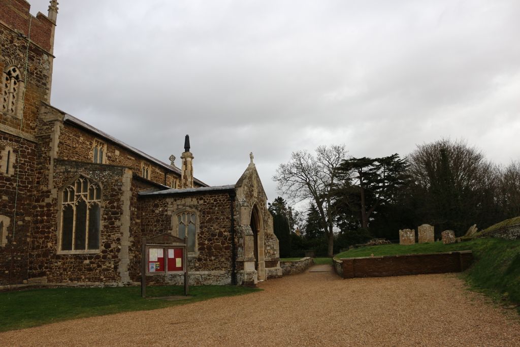
| Description | : | A Cemetery of 2 acres, with two mortuary chapels, was formed in 1856, at a cost of about £1,600, and in 1884 was enlarged by the addition of 2½ acres, at a cost of £500: it is under the control of a joint committee appointed by the Urban District Council and the Parish Council for Downham West. Downham Market's Victorian cemetery sits a little to the south of the Anglican parish church, and it is typical of 19th Century civic pride, but on a small scale, like a reflection of the town it once served. Here are the two identical cemetery... Read More |
frequently asked questions (FAQ):
-
Where is Churchside Cemetery?
Churchside Cemetery is located at Church Road Downham Market, Kings Lynn and West Norfolk Borough ,Norfolk , PE38 9LFEngland.
-
Churchside Cemetery cemetery's updated grave count on graveviews.com?
3 memorials
-
Where are the coordinates of the Churchside Cemetery?
Latitude: 52.6027720
Longitude: 0.3807240
Nearby Cemetories:
1. King's Walk Cemetery
Downham Market, Kings Lynn and West Norfolk Borough, England
Coordinate: 52.6025160, 0.3808160
2. Rouse's Lane
Downham Market, Kings Lynn and West Norfolk Borough, England
Coordinate: 52.6007020, 0.3874400
3. St Mary Churchyard
Denver, Kings Lynn and West Norfolk Borough, England
Coordinate: 52.5886240, 0.3819980
4. St. Michael's Churchyard
Ryston, Kings Lynn and West Norfolk Borough, England
Coordinate: 52.5895310, 0.3912770
5. Saint Mary the Virgin Churchyard
Bexwell, Kings Lynn and West Norfolk Borough, England
Coordinate: 52.6040000, 0.4076000
6. Holy Trinity Churchyard
Stow Bardolph, Kings Lynn and West Norfolk Borough, England
Coordinate: 52.6241340, 0.4041480
7. St. Peter's Churchyard
Stow Bridge, Kings Lynn and West Norfolk Borough, England
Coordinate: 52.6312500, 0.3508300
8. All Saints Churchyard
Hilgay, Kings Lynn and West Norfolk Borough, England
Coordinate: 52.5574000, 0.3911690
9. Saint Andrew's Churchyard
South Runcton, Kings Lynn and West Norfolk Borough, England
Coordinate: 52.6472700, 0.4128500
10. St. Andrew's Churchyard
West Dereham, Kings Lynn and West Norfolk Borough, England
Coordinate: 52.5911080, 0.4599020
11. St. Mary's Churchyard
Stradsett, Kings Lynn and West Norfolk Borough, England
Coordinate: 52.6178500, 0.4588500
12. Nordelph Cemetery
Nordelph, Kings Lynn and West Norfolk Borough, England
Coordinate: 52.5836400, 0.3015100
13. St James Churchyard
Runcton Holme, Kings Lynn and West Norfolk Borough, England
Coordinate: 52.6598400, 0.3893490
14. St. Margaret of Antioch Churchyard
Wereham, Kings Lynn and West Norfolk Borough, England
Coordinate: 52.5867700, 0.4799200
15. St Peter & St Paul's Church
Watlington, Kings Lynn and West Norfolk Borough, England
Coordinate: 52.6740960, 0.3961470
16. St Martin's Churchyard
Fincham, Kings Lynn and West Norfolk Borough, England
Coordinate: 52.6296100, 0.4926900
17. St. Botolph's Churchyard
Tottenhill, Kings Lynn and West Norfolk Borough, England
Coordinate: 52.6706000, 0.4433000
18. St. Mary the Virgin Churchyard
Southery, Kings Lynn and West Norfolk Borough, England
Coordinate: 52.5249310, 0.3894790
19. All Saints Churchyard
Boughton, Kings Lynn and West Norfolk Borough, England
Coordinate: 52.5913020, 0.5080360
20. All Saints Churchyard
Shouldham, Kings Lynn and West Norfolk Borough, England
Coordinate: 52.6515690, 0.4837640
21. Shouldham Priory
Shouldham, Kings Lynn and West Norfolk Borough, England
Coordinate: 52.6576070, 0.4836220
22. All Saints Churchyard
Stoke Ferry, Kings Lynn and West Norfolk Borough, England
Coordinate: 52.5702970, 0.5138070
23. Outwell Cemetery
Outwell, Kings Lynn and West Norfolk Borough, England
Coordinate: 52.6092800, 0.2363600
24. St. Mary's Churchyard
Barton Bendish, Kings Lynn and West Norfolk Borough, England
Coordinate: 52.6198270, 0.5243860