
| Memorials | : | 0 |
| Location | : | Luxembourg, Canton de Luxembourg, Luxembourg |
| Coordinate | : | -50.0081000, -5.7167000 |
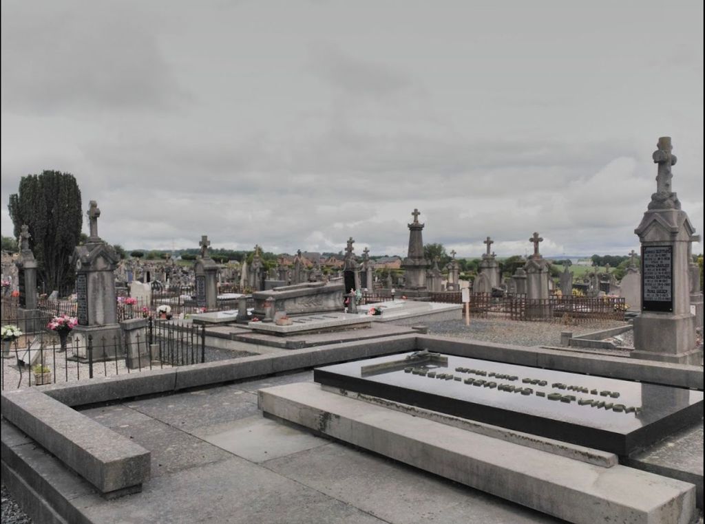
| Description | : | 6600 Bastogne, 43 Rue de la Roche / N834 Luxembourg Wallonia Belgium, across from Barracks, same side as Chapelle Saint-Laurent Bastogne — |
frequently asked questions (FAQ):
-
Where is Cimetière de Bastogne?
Cimetière de Bastogne is located at 43 Rue de la Roche / N834 Luxembourg, Canton de Luxembourg ,Luxembourg , LuxembourgLuxembourg.
-
Cimetière de Bastogne cemetery's updated grave count on graveviews.com?
0 memorials
-
Where are the coordinates of the Cimetière de Bastogne?
Latitude: -50.0081000
Longitude: -5.7167000
Nearby Cemetories:
1. Cimetière de Briatexte
Briatexte, Departement du Tarn, France
Coordinate: -43.7529700, 1.9078900
2. Cemitério Municipal de Juazeiro
Salvador, Município de Salvador, Brazil
Coordinate: -40.5119180, -9.4196230
3. Drazdy Cemetery
Belar Creek, Bogan Shire, Australia
Coordinate: -52.0495000, 20.2456000
4. Cementerio de Polanco
Uruguay
Coordinate: -33.8741908, 0.0000000
5. NG Kerk - Montagu Gedenkmuur
Montagu, Cape Winelands District Municipality, South Africa
Coordinate: -33.7867900, 0.0000000
6. Leith Main Cemetery
South Georgia And The South Sandwich Islands
Coordinate: -54.1427890, -36.6912760
7. Cootanoorina Station Ruin Lone Grave
Outback Communities Authority, Australia
Coordinate: -31.0535816, 5.8157710
8. St. Joseph's Memorial Wall
Kommetjie, City of Cape Town Metropolitan Municipality, South Africa
Coordinate: -34.1436710, 18.3327150
9. Ocean View Cemetery
Kommetjie, City of Cape Town Metropolitan Municipality, South Africa
Coordinate: -34.1564400, 18.3557040
10. Just Nuisance Grave Site
Simon's Town, City of Cape Town Metropolitan Municipality, South Africa
Coordinate: -34.1980570, 18.4259280
11. St Francis of Assisi Memorial Garden
Simon's Town, City of Cape Town Metropolitan Municipality, South Africa
Coordinate: -34.1909670, 18.4270170
12. St. Simon and St. Jude Memorial Garden
Simon's Town, City of Cape Town Metropolitan Municipality, South Africa
Coordinate: -34.1939330, 18.4377170
13. Hugo Family Cemetery
Simon's Town, City of Cape Town Metropolitan Municipality, South Africa
Coordinate: -34.2078140, 18.4589070
14. Seaforth Old Burying Ground
Simon's Town, City of Cape Town Metropolitan Municipality, South Africa
Coordinate: -34.1952000, 18.4430170
15. Seaforth Old Burying Ground and Garden of Remembrance
Seaforth, City of Cape Town Metropolitan Municipality, South Africa
Coordinate: -34.1949580, 18.4430840
16. Dido Valley Cemetery
Simon's Town, City of Cape Town Metropolitan Municipality, South Africa
Coordinate: -34.1690200, 18.4294600
17. NG Kerk - Fish Hoek Kerkof
Fish Hoek, City of Cape Town Metropolitan Municipality, South Africa
Coordinate: -34.1405380, 18.4273180
18. St Margarets Anglican Church
Fish Hoek, City of Cape Town Metropolitan Municipality, South Africa
Coordinate: -34.1395263, 18.4261532
19. St. John the Evangelist Memorial Wall
Fish Hoek, City of Cape Town Metropolitan Municipality, South Africa
Coordinate: -34.1391240, 18.4256960
20. De Villiers Family Cemetery
Noordhoek, City of Cape Town Metropolitan Municipality, South Africa
Coordinate: -34.0950500, 18.3756830
21. Noordhoek Cemetery
Noordhoek, City of Cape Town Metropolitan Municipality, South Africa
Coordinate: -34.0966620, 18.3785870
22. Silvermine Farm Cemetery
Noordhoek, City of Cape Town Metropolitan Municipality, South Africa
Coordinate: -34.1093277, 18.4013788
23. Holy Trinity Anglican Church Cemetery
Kalk Bay, City of Cape Town Metropolitan Municipality, South Africa
Coordinate: -34.1242830, 18.4515990
24. St. Peter the Fisherman Memorial Garden
Hout Bay, City of Cape Town Metropolitan Municipality, South Africa
Coordinate: -34.0445500, 18.3604170