
| Memorials | : | 8 |
| Location | : | Quasqueton, Buchanan County, USA |
| Coordinate | : | 42.3386002, -91.7061005 |
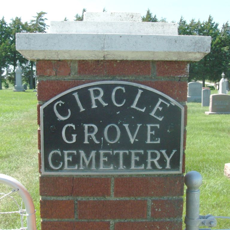
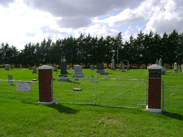
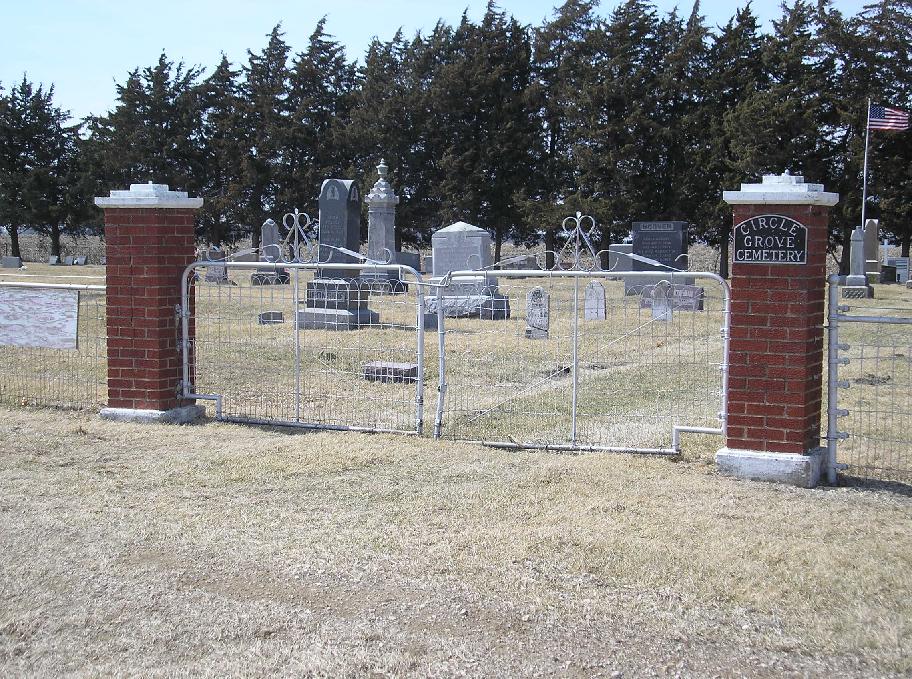
| Description | : | Hoover/Circle Grove Cemetery Newton Township, Section 19 Cemetery was established in 1853 in the south part of the township. Jesse McPike donated the land and the first burial there was that of Mrs. Long. Charles Hoover had a private burying ground on his land near his house, but, in 1880, a cemetery association was formed, with James Ironside president, W.King, treasurer, and Samuel Hoover, secretary. A cemetery was established near the Catholic church in the east part of the township about 1856, and there are in it some fine monuments. |
frequently asked questions (FAQ):
-
Where is Circle Grove Cemetery?
Circle Grove Cemetery is located at Quasqueton, Buchanan County ,Iowa ,USA.
-
Circle Grove Cemetery cemetery's updated grave count on graveviews.com?
8 memorials
-
Where are the coordinates of the Circle Grove Cemetery?
Latitude: 42.3386002
Longitude: -91.7061005
Nearby Cemetories:
1. Upper Spring Grove Cemetery
Buchanan County, USA
Coordinate: 42.3086014, -91.6505966
2. Troy Mills Cemetery
Troy Mills, Linn County, USA
Coordinate: 42.2835999, -91.6960983
3. Cono Cemetery
Rowley, Buchanan County, USA
Coordinate: 42.3174170, -91.7769370
4. Saint Patricks Cemetery
Monti, Buchanan County, USA
Coordinate: 42.3746986, -91.6363983
5. Sacred Heart Cemetery
Walker, Linn County, USA
Coordinate: 42.2938995, -91.7778015
6. Quasqueton Cemetery
Quasqueton, Buchanan County, USA
Coordinate: 42.3994370, -91.7621231
7. Walker Cemetery
Walker, Linn County, USA
Coordinate: 42.2840000, -91.7868000
8. Hickory Grove Cemetery
Quasqueton, Buchanan County, USA
Coordinate: 42.4207598, -91.7534684
9. Lower Spring Grove Cemetery
Troy Mills, Linn County, USA
Coordinate: 42.2783012, -91.6007996
10. Pine Creek Cemetery
Quasqueton, Buchanan County, USA
Coordinate: 42.4172400, -91.7867200
11. Silver Creek Cemetery
Masonville, Delaware County, USA
Coordinate: 42.3695000, -91.5790000
12. West Prairie Cemetery
Troy Mills, Linn County, USA
Coordinate: 42.2492500, -91.6269000
13. Rowley Cemetery
Rowley, Buchanan County, USA
Coordinate: 42.3716621, -91.8530655
14. Saint Patricks Cemetery
Winthrop, Buchanan County, USA
Coordinate: 42.4653015, -91.7328033
15. Spencers Grove Cemetery
Benton County, USA
Coordinate: 42.2841988, -91.8655014
16. Fairview Cemetery
Winthrop, Buchanan County, USA
Coordinate: 42.4692001, -91.7407990
17. Davis Cemetery
Linn County, USA
Coordinate: 42.2324982, -91.8272018
18. Alice Cemetery
Alice, Linn County, USA
Coordinate: 42.1974900, -91.6950000
19. Saint Marys Cemetery
Benton County, USA
Coordinate: 42.2616997, -91.8683014
20. Saint Johns Cemetery
Coggon, Linn County, USA
Coordinate: 42.2726530, -91.5306510
21. Coggon Cemetery
Coggon, Linn County, USA
Coordinate: 42.2714980, -91.5291220
22. Mills Grove Cemetery
Paris, Linn County, USA
Coordinate: 42.2408620, -91.5559070
23. Center Point Cemetery
Center Point, Linn County, USA
Coordinate: 42.1966600, -91.7908900
24. Blodgett Cemetery
Central City, Linn County, USA
Coordinate: 42.2125015, -91.5774994