| Memorials | : | 0 |
| Location | : | Harperville, Scott County, USA |
| Coordinate | : | 32.5353100, -89.4804700 |
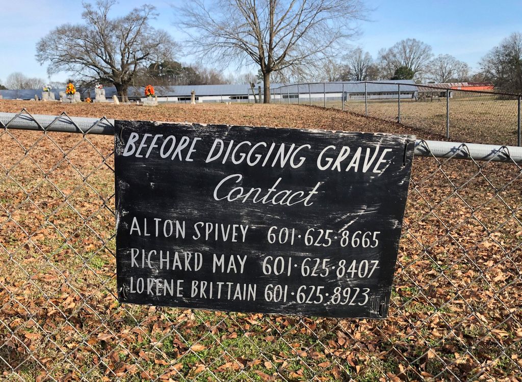
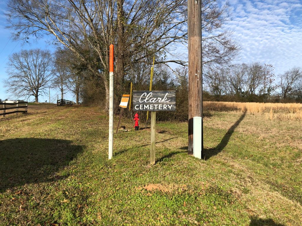
| Description | : | Currently known as the Clark Cemetery, it is located approximately 2.6 miles north of Harperville Baptist Church on Highway 35 North. There is a small sign, turn left off Highway 35 onto an unpaved road and follow fence until you reach the cemetery, which is enclosed by modern chain link fencing. |
frequently asked questions (FAQ):
-
Where is Clark-Barfield-Townsend Cemetery?
Clark-Barfield-Townsend Cemetery is located at Harperville, Scott County ,Mississippi ,USA.
-
Clark-Barfield-Townsend Cemetery cemetery's updated grave count on graveviews.com?
0 memorials
-
Where are the coordinates of the Clark-Barfield-Townsend Cemetery?
Latitude: 32.5353100
Longitude: -89.4804700
Nearby Cemetories:
1. Ridge Baptist Church Cemetery
Scott County, USA
Coordinate: 32.5553050, -89.4744580
2. Little Rock MB Church Cemetery
Harperville, Scott County, USA
Coordinate: 32.5125430, -89.4629420
3. Union Baptist Cemetery
Harperville, Scott County, USA
Coordinate: 32.5343480, -89.4451860
4. Hayes Creek Cemetery
Scott County, USA
Coordinate: 32.5567017, -89.5143967
5. Harperville Memorial Park
Harperville, Scott County, USA
Coordinate: 32.4964600, -89.4869766
6. Lebanon Church Cemetery
Harperville, Scott County, USA
Coordinate: 32.4949989, -89.5033035
7. Ulmer's Chapel Cemetery
Tuscola, Leake County, USA
Coordinate: 32.5779100, -89.5138700
8. Clark Cemetery
Horseshoe, Scott County, USA
Coordinate: 32.5764450, -89.4395150
9. Faith Baptist Church Cemetery
Tuscola, Leake County, USA
Coordinate: 32.5782000, -89.5202900
10. Parker Cemetery
Walnut Grove, Leake County, USA
Coordinate: 32.5889015, -89.4927979
11. Old Union Cemetery
Harperville, Scott County, USA
Coordinate: 32.4947014, -89.4319000
12. Covenant Baptist Church Cemetery
Forest, Scott County, USA
Coordinate: 32.4834700, -89.4461940
13. Lone Pilgrim Cemetery
Hillsboro, Scott County, USA
Coordinate: 32.4792300, -89.5168910
14. Lindsey Cemetery
Walnut Grove, Leake County, USA
Coordinate: 32.6007996, -89.4627991
15. Pilgrim Rest Cemetery
Tuscola, Leake County, USA
Coordinate: 32.5877100, -89.5333600
16. Fuston Cemetery
Walnut Grove, Leake County, USA
Coordinate: 32.6055984, -89.4539032
17. Cash Baptist Church Cemetery
Scott County, USA
Coordinate: 32.5625400, -89.5621680
18. Old Walnut Grove Cemetery
Walnut Grove, Leake County, USA
Coordinate: 32.6049995, -89.4436035
19. Damascus Cemetery
Damascus, Scott County, USA
Coordinate: 32.5517006, -89.3886032
20. Hillsboro Baptist Church Cemetery
Hillsboro, Scott County, USA
Coordinate: 32.4599200, -89.5096700
21. Cash Cemetery
Scott County, USA
Coordinate: 32.5689011, -89.5671997
22. Britt Cemetery
Walnut Grove, Leake County, USA
Coordinate: 32.5877991, -89.4067001
23. Robinson Cemetery
Leake County, USA
Coordinate: 32.5964012, -89.5449982
24. New Friendship Cemetery
Walnut Grove, Leake County, USA
Coordinate: 32.5903511, -89.4070969


