| Memorials | : | 14 |
| Location | : | Franklin County, USA |
| Coordinate | : | 37.1973500, -79.8840600 |
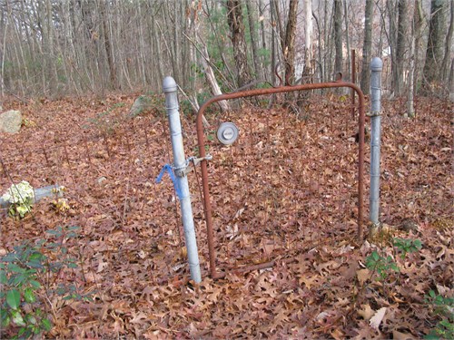
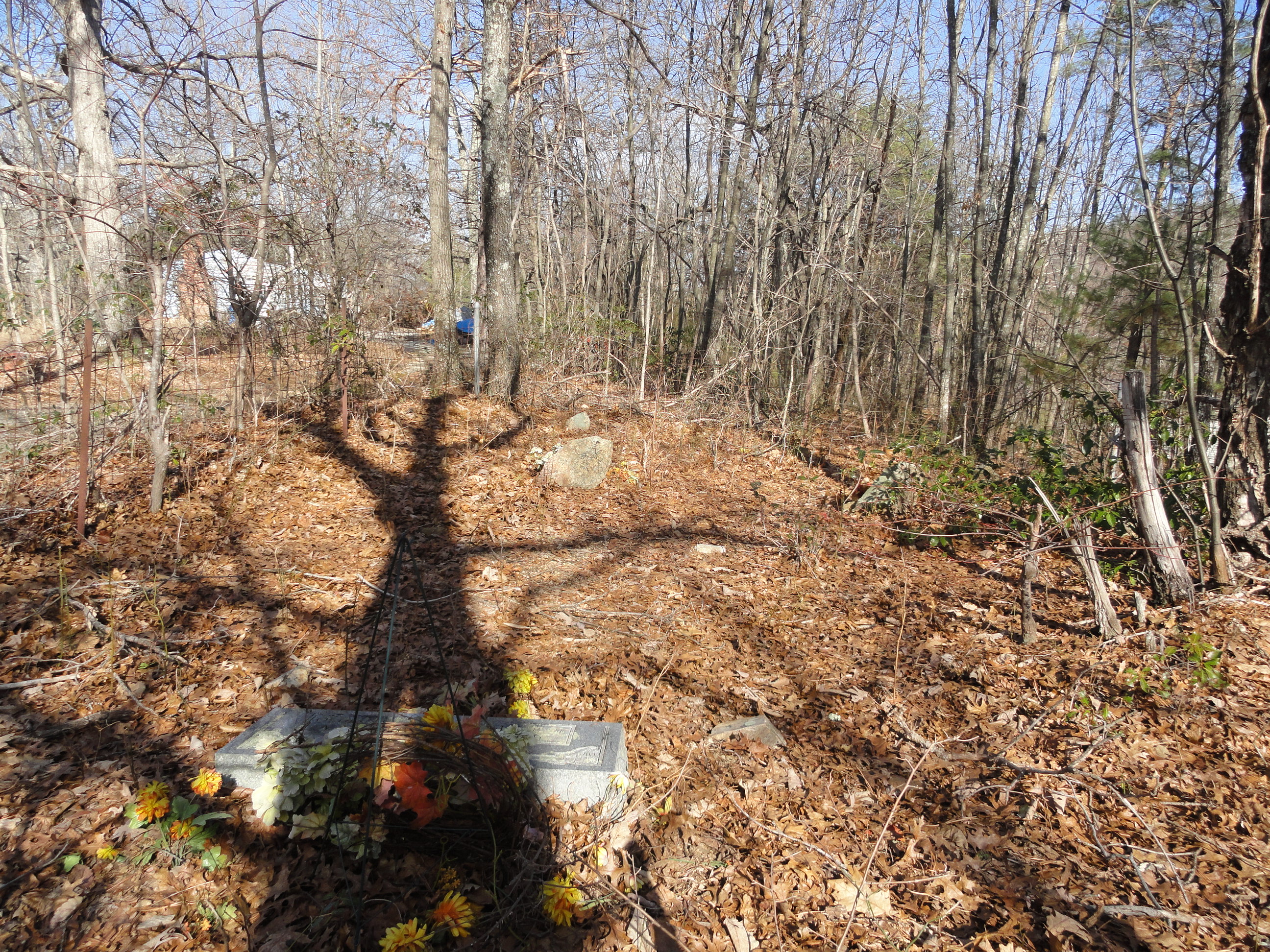
| Description | : | Cemetery is also known as Atkins Cemetery. Cemetery located on State Route 116, Windy Gap Mtn, Hardy, Virginia. About a mile south of Roanoke County line at Coopers Cove. Turn onto road entering Wedgewood Subdivision, private drive immediately on left, cemetery is on right. I counted over 20 burial sites, with only three that were inscribed and could be read. The cemetery is on land bought by Evan Galaspy, Sr., (Gillespie), bought in 1816. |
frequently asked questions (FAQ):
-
Where is Clark-Galaspy Cemetery?
Clark-Galaspy Cemetery is located at Franklin County ,Virginia ,USA.
-
Clark-Galaspy Cemetery cemetery's updated grave count on graveviews.com?
14 memorials
-
Where are the coordinates of the Clark-Galaspy Cemetery?
Latitude: 37.1973500
Longitude: -79.8840600
Nearby Cemetories:
1. Booth Lovelace Plantation
Franklin County, USA
Coordinate: 37.1721500, -79.8673400
2. Plunkett Cemetery
Boones Mill, Franklin County, USA
Coordinate: 37.1519012, -79.8794022
3. Bush Cemetery
Franklin County, USA
Coordinate: 37.2072900, -79.8260200
4. Red Valley United Methodist Church Cemetery
Boones Mill, Franklin County, USA
Coordinate: 37.1381890, -79.8624620
5. Barton Cemetery
Franklin County, USA
Coordinate: 37.1768900, -79.8067000
6. Gravel Hill Baptist Church Cemetery
Hardy, Bedford County, USA
Coordinate: 37.2488990, -79.8310500
7. Ninevah Church of the Brethren Cemetery
Hardy, Bedford County, USA
Coordinate: 37.2316704, -79.8108292
8. Reed Family Cemetery
Hardy, Bedford County, USA
Coordinate: 37.1736830, -79.8033120
9. Calvert Cemetery
Bedford County, USA
Coordinate: 37.2505989, -79.8292007
10. Basham Cemetery
Franklin County, USA
Coordinate: 37.1767500, -79.7997700
11. Basham Cemetery
Franklin County, USA
Coordinate: 37.1747017, -79.8000031
12. Bailey Cemetery
Franklin County, USA
Coordinate: 37.1244011, -79.8722000
13. Starkey-Stover Cemetery
Boones Mill, Franklin County, USA
Coordinate: 37.1238228, -79.8794947
14. Oak Hill Cemetery
Boones Mill, Franklin County, USA
Coordinate: 37.1290550, -79.8491400
15. Boitnott Cemetery
Boones Mill, Franklin County, USA
Coordinate: 37.1267014, -79.9116974
16. Forbes-Hodges Cemetery
Boones Mill, Franklin County, USA
Coordinate: 37.1207119, -79.9081643
17. Abshire Cemetery
Boones Mill, Franklin County, USA
Coordinate: 37.1258280, -79.9331660
18. Barton Cemetery
Bedford County, USA
Coordinate: 37.2358017, -79.7928009
19. James Barton Cemetery
Hardy, Bedford County, USA
Coordinate: 37.2359020, -79.7927600
20. Bailey-Sink Cemetery
Franklin County, USA
Coordinate: 37.1240400, -79.8365600
21. Altice Farm Cemetery
Franklin County, USA
Coordinate: 37.1471500, -79.8015300
22. Clemons Cemetery
Boones Mill, Franklin County, USA
Coordinate: 37.1236000, -79.9353027
23. Dunahoo - Boitnott Family Cemetery
Boones Mill, Franklin County, USA
Coordinate: 37.1200890, -79.9292390
24. Booth Cemetery
Bedford County, USA
Coordinate: 37.2174988, -79.7797012


