
| Memorials | : | 1 |
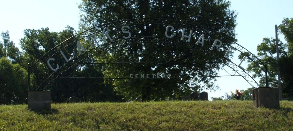
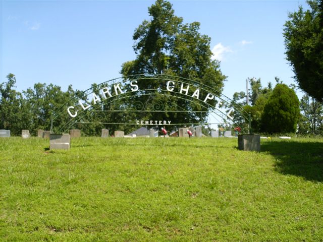
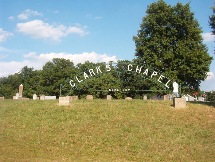
| Location | : | Paragould, Greene County, USA |
| Coordinate | : | 35.9804020, -90.6189040 |
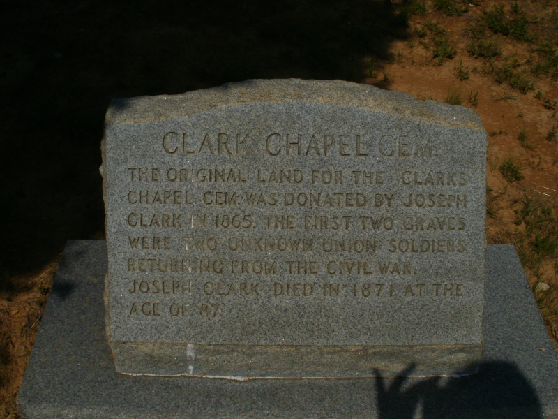
| Description | : | Take Ark. County Rd. 358 South out of Paragould until you come to County Rd. 351. Turn left onto 351. Take 351 until you come to County Rd. 739. The Cemetery is at the cornor of 351 & 739 next to the Clarks Chapel Baptist Church. |
frequently asked questions (FAQ):
-
Where is Clarks Chapel Cemetery?
Clarks Chapel Cemetery is located at Paragould, Greene County ,Arkansas ,USA.
-
Clarks Chapel Cemetery cemetery's updated grave count on graveviews.com?
1 memorials
-
Where are the coordinates of the Clarks Chapel Cemetery?
Latitude: 35.9804020
Longitude: -90.6189040
Nearby Cemetories:
1. Liberty Cemetery
Greene County, USA
Coordinate: 35.9992350, -90.6110070
2. Finch Cemetery
Finch, Greene County, USA
Coordinate: 36.0102997, -90.6241989
3. Rutherford Cemetery
Craighead County, USA
Coordinate: 35.9578018, -90.6444016
4. Sweet Moments Cemetery
Craighead County, USA
Coordinate: 35.9631004, -90.5849991
5. Woods Chapel Cemetery
Greene County, USA
Coordinate: 35.9846992, -90.5678024
6. Old Bethel Cemetery
Paragould, Greene County, USA
Coordinate: 36.0126220, -90.6587790
7. Pine Log Cemetery
Brookland, Craighead County, USA
Coordinate: 35.9314003, -90.6053009
8. Pine Knot Cemetery
Paragould, Greene County, USA
Coordinate: 36.0283012, -90.5988998
9. Sims Cemetery
Craighead County, USA
Coordinate: 35.9639015, -90.5550003
10. Rock Hill Cemetery
Jonesboro, Craighead County, USA
Coordinate: 35.9441986, -90.6757965
11. Caldwell Cemetery
Greene County, USA
Coordinate: 35.9668999, -90.6975021
12. Caldwell Chapel Cemetery
Jonesboro, Craighead County, USA
Coordinate: 35.9655991, -90.6975021
13. Browns Chapel Cemetery
Paragould, Greene County, USA
Coordinate: 36.0168991, -90.5500031
14. Mount Zion Cemetery
Walcott, Greene County, USA
Coordinate: 36.0231018, -90.6828003
15. Bethel Cemetery
Greene County, USA
Coordinate: 36.0022011, -90.5361023
16. Blackwood Cemetery
Walcott, Greene County, USA
Coordinate: 36.0083750, -90.7028570
17. Shiloh Cemetery
Jonesboro, Craighead County, USA
Coordinate: 35.9268990, -90.6931000
18. Mount Olivet Cemetery
Craighead County, USA
Coordinate: 35.9163690, -90.6805670
19. Pleasant Hill Cemetery
Lorado, Greene County, USA
Coordinate: 35.9977989, -90.7177963
20. Brookland Methodist Cemetery
Brookland, Craighead County, USA
Coordinate: 35.9015160, -90.5847330
21. Warrens Chapel Methodist Church Cemetery
Walcott, Greene County, USA
Coordinate: 36.0607986, -90.6517029
22. Lorado Cemetery
Lorado, Greene County, USA
Coordinate: 35.9888992, -90.7249985
23. Nober Cemetery
Brookland, Craighead County, USA
Coordinate: 35.8932991, -90.6038971
24. Noble Cemetery
Craighead County, USA
Coordinate: 35.8931240, -90.6043840