
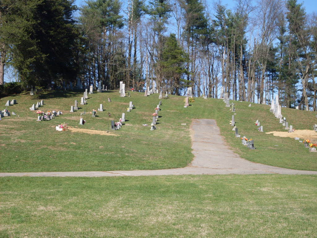
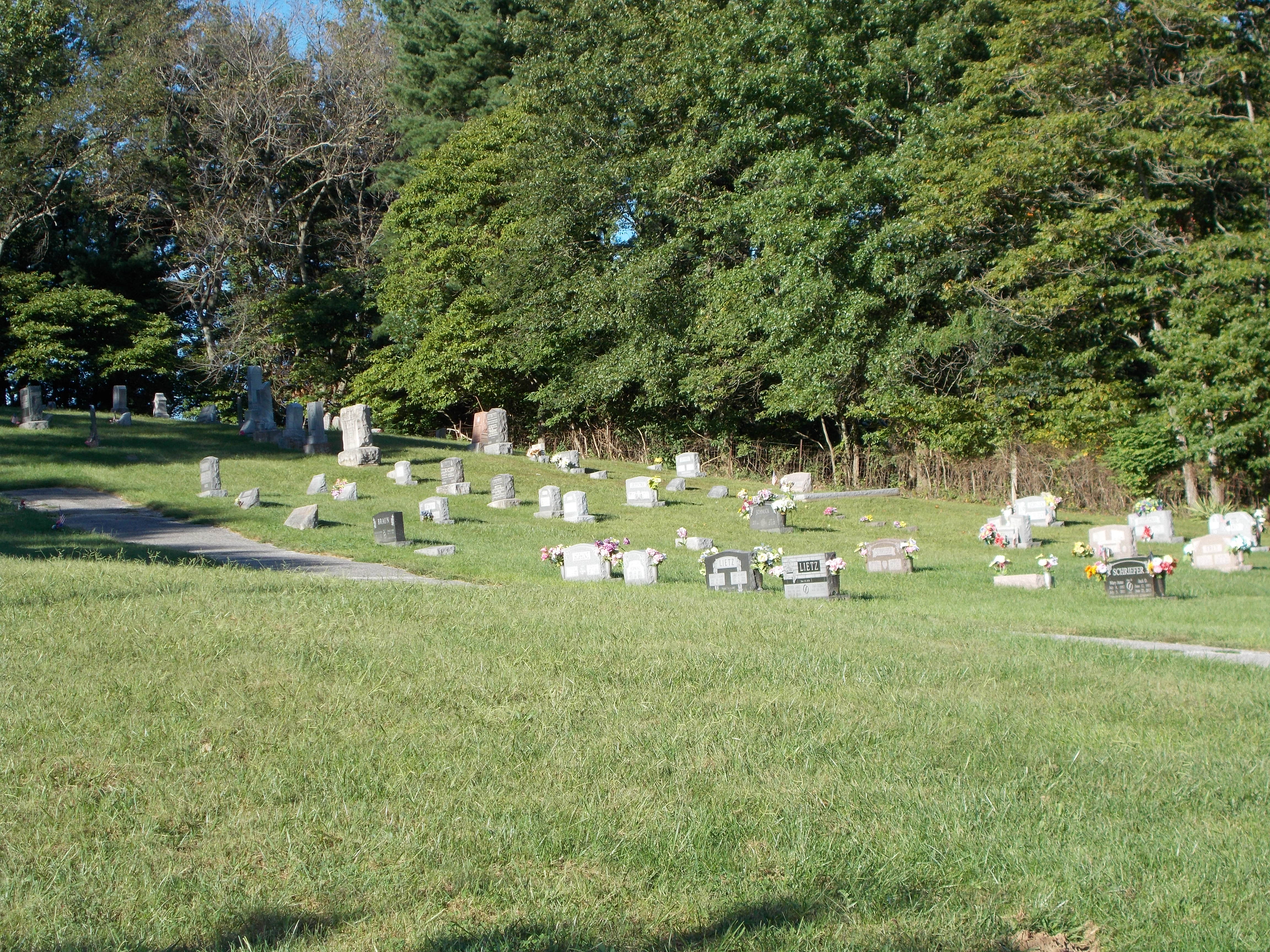
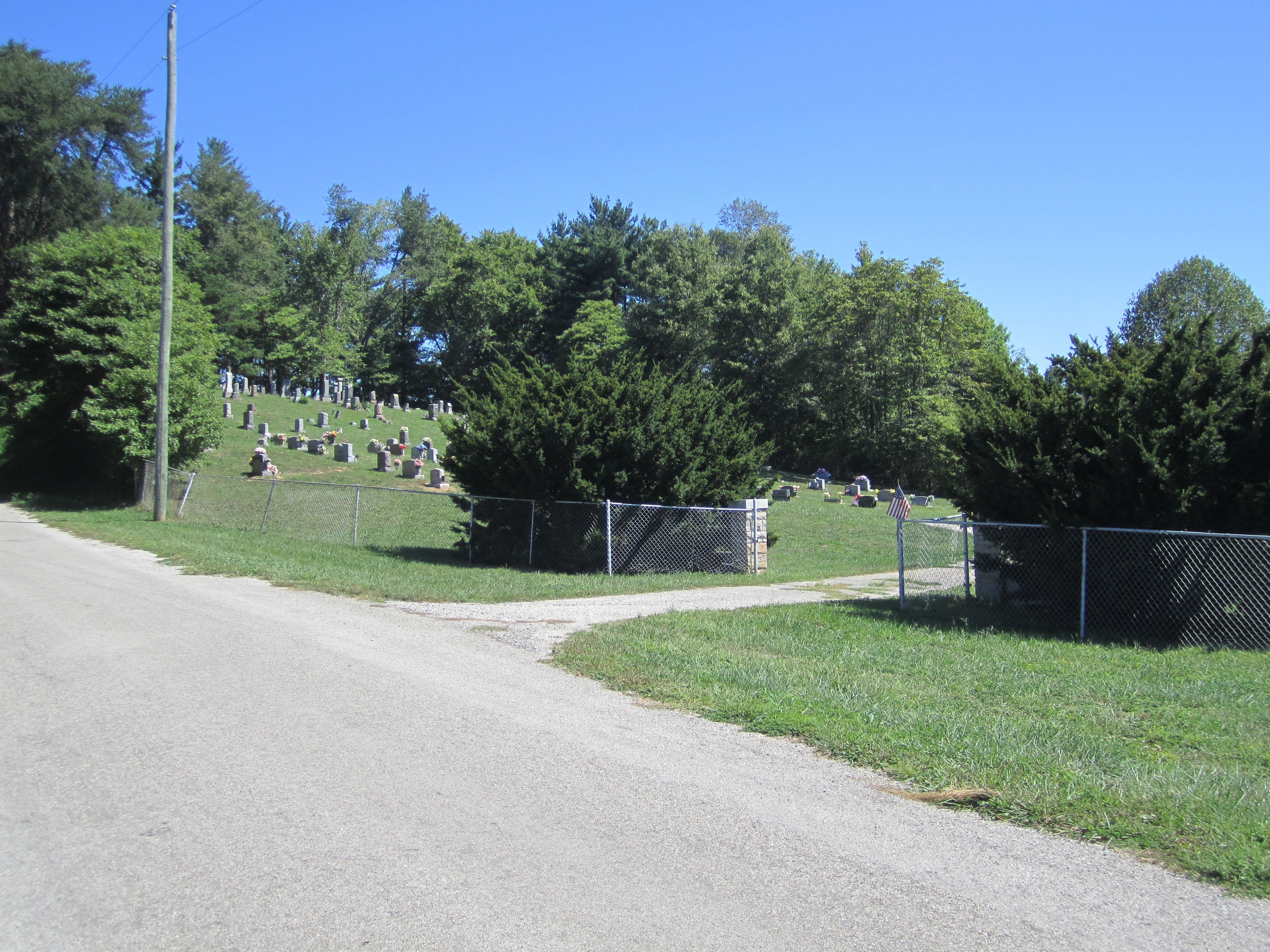
| Memorials | : | 190 |
| Location | : | Buffaloville, Spencer County, USA |
| Coordinate | : | 38.0857490, -86.9512940 |
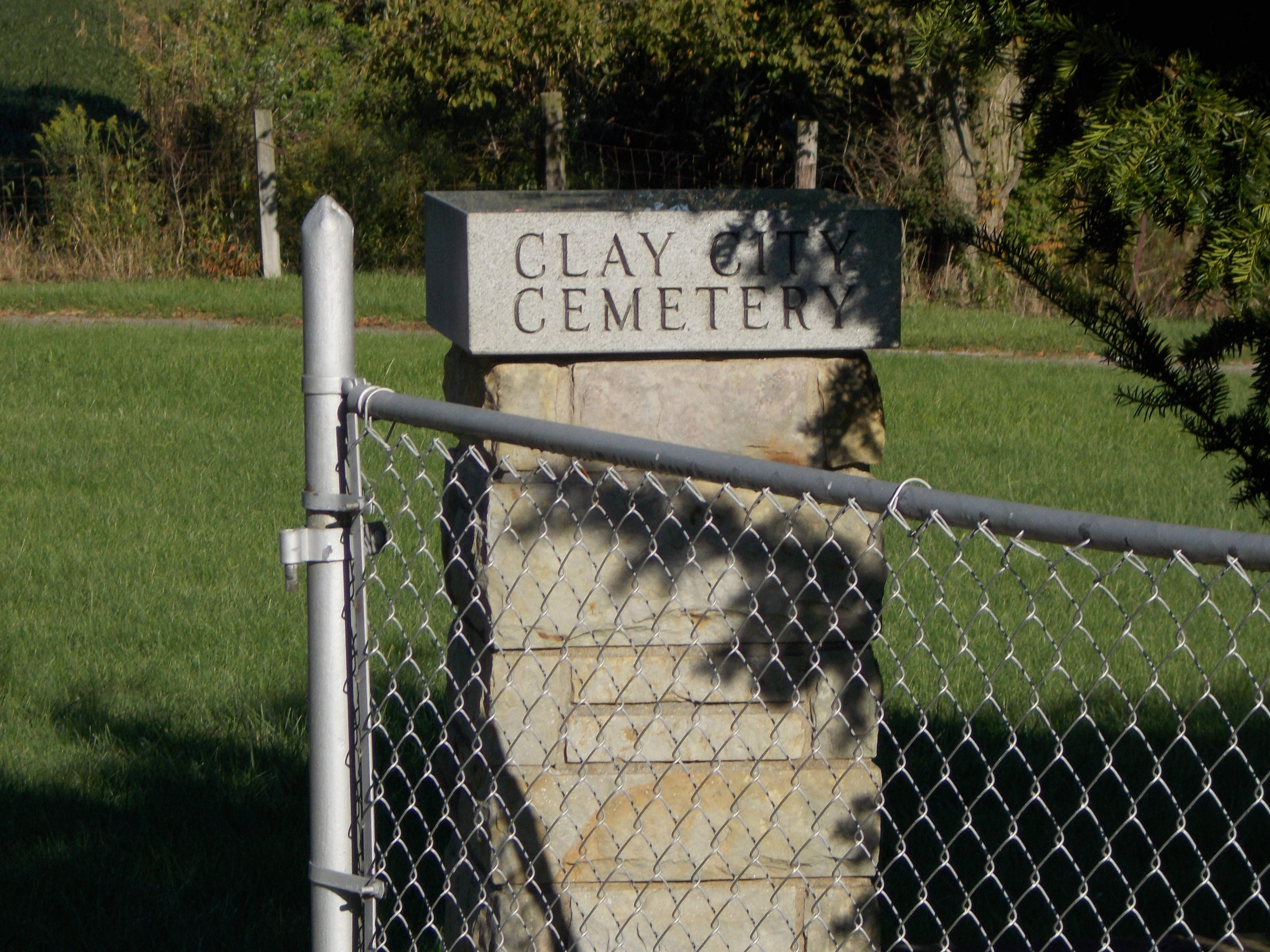
| Description | : | The cemetery is located in Clay Township (W half of the NE quadrant of Section 15 Township 5S Range 5W) on the east side of County Road 550 E about 0.25 miles north of E County Road 1350 N. Indiana Cemetery Locations, Volume 3, published by the Indiana Genealogical Society (April 2007), gives the primary cemetery name as Clay City Cemetery with an alternate name of Saint Johns United Church of Christ Cemetery. The cemetery is listed in the Cemetery and Burial Grounds Registry of the Indiana Department of Natural Resources (DNR) and in the State Historical Architectural... Read More |
frequently asked questions (FAQ):
-
Where is Clay City Cemetery?
Clay City Cemetery is located at 13772 County Road 550 E Buffaloville, Spencer County ,Indiana , 47550USA.
-
Clay City Cemetery cemetery's updated grave count on graveviews.com?
190 memorials
-
Where are the coordinates of the Clay City Cemetery?
Latitude: 38.0857490
Longitude: -86.9512940
Nearby Cemetories:
1. Buffaloville Cemetery
Buffaloville, Spencer County, USA
Coordinate: 38.1044006, -86.9655991
2. Tableman Cemetery
Spencer County, USA
Coordinate: 38.0601610, -86.9533750
3. Mount Zion Cemetery
Santa Claus, Spencer County, USA
Coordinate: 38.0985718, -86.9113007
4. Little Pigeon Cemetery
Chrisney, Spencer County, USA
Coordinate: 38.0650558, -86.9961395
5. Saint Nicholas Catholic Cemetery
Santa Claus, Spencer County, USA
Coordinate: 38.1229000, -86.9250000
6. Pigeon Creek Baptist Church Cemetery
Dale, Spencer County, USA
Coordinate: 38.1046982, -87.0008011
7. Santa Fe Cemetery
Santa Claus, Spencer County, USA
Coordinate: 38.1151040, -86.9070590
8. Santa Claus Cemetery
Santa Claus, Spencer County, USA
Coordinate: 38.1300659, -86.9379272
9. Lincoln Boyhood National Memorial
Lincoln City, Spencer County, USA
Coordinate: 38.1156616, -86.9959488
10. Richardson Cemetery
Lincoln City, Spencer County, USA
Coordinate: 38.1258011, -86.9816971
11. Pinkston Cemetery
Spencer County, USA
Coordinate: 38.1408005, -86.9805984
12. Union Chapel Cemetery
Spencer County, USA
Coordinate: 38.0301399, -86.9232635
13. Garden of Memory Cemetery
Gentryville, Spencer County, USA
Coordinate: 38.1135902, -87.0248184
14. Old Christian Cemetery
Gentryville, Spencer County, USA
Coordinate: 38.1102260, -87.0288310
15. Meeks Cemetery
Newtonville, Spencer County, USA
Coordinate: 38.0168991, -86.9550018
16. Saint Peter United Church of Christ Cemetery
Lamar, Spencer County, USA
Coordinate: 38.0642853, -86.8668137
17. Wood Cemetery
Dale, Spencer County, USA
Coordinate: 38.1436300, -87.0080300
18. Stark Cemetery
Spencer County, USA
Coordinate: 38.0863991, -87.0494003
19. Bender Cemetery
Spencer County, USA
Coordinate: 38.0602989, -87.0466995
20. Mount Moriah Cemetery
Chrisney, Spencer County, USA
Coordinate: 38.0158005, -87.0036011
21. Dale Cemetery
Dale, Spencer County, USA
Coordinate: 38.1652985, -86.9760971
22. Saint Joseph Catholic Cemetery
Dale, Spencer County, USA
Coordinate: 38.1653000, -86.9761000
23. Mary Help of Christians Church Cemetery
Mariah Hill, Spencer County, USA
Coordinate: 38.1660805, -86.9272919
24. Bethlehem Cemetery
Newtonville, Spencer County, USA
Coordinate: 38.0026093, -86.9498672