
| Memorials | : | 0 |
| Location | : | Powiat bieszczadzki, Poland |
| Phone | : | +48 13 461 94 40 |
| Coordinate | : | 49.3268178, 22.6672802 |
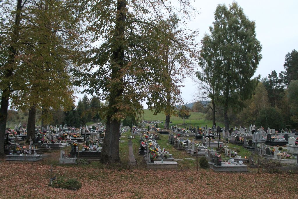
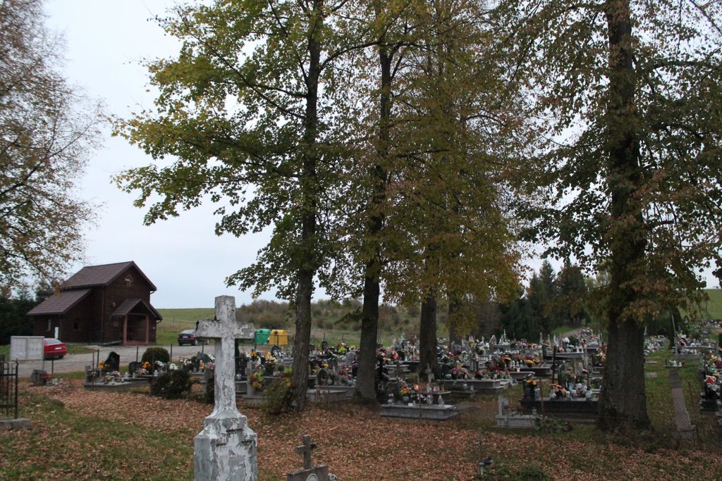
| Description | : | The cemetery belongs to the Roman Catholic parish of the Exaltation of the Holy Cross in Czarna Górna. Previously, it was a Greek Catholic parish, later renamed the Orthodox parish, and since 1951 it has been a Roman Catholic parish. |
frequently asked questions (FAQ):
-
Where is Cmentarz Parafialny w Czarnej Górnej?
Cmentarz Parafialny w Czarnej Górnej is located at Czarna 110 Powiat bieszczadzki ,Podkarpackie , 38-710Poland.
-
Cmentarz Parafialny w Czarnej Górnej cemetery's updated grave count on graveviews.com?
0 memorials
-
Where are the coordinates of the Cmentarz Parafialny w Czarnej Górnej?
Latitude: 49.3268178
Longitude: 22.6672802


Nearby Cemetories:
1. Cmentarz Żydowski w Lutowiskach
Powiat bieszczadzki, Poland
Coordinate: 49.2503309, 22.7014493
2. Cmentarz Greckokatolicki w Lutowiskach
Powiat bieszczadzki, Poland
Coordinate: 49.2483184, 22.6940967
3. Cmentarz Parafialny w Smolniku
Powiat bieszczadzki, Poland
Coordinate: 49.2096615, 22.6882941
4. Saint Michael the Archangel Church Cemetery
Ukraine
Coordinate: 49.4155028, 22.8408224
5. Spas Cemetery
Ukraine
Coordinate: 49.3990649, 22.9716737
6. Cmentarz Parafialny w Uhercach Mineralnych
Powiat leski, Poland
Coordinate: 49.4578336, 22.4022410
7. Kościół Nawiedzenia NMP w Lesku
Lesko, Powiat leski, Poland
Coordinate: 49.4718018, 22.3285443
8. Nyzhnia Yablunka Village Cemetery
Ukraine
Coordinate: 49.1224883, 22.9646084
9. Yavora Village Cemetery
Ukraine
Coordinate: 49.1959162, 23.0571287
10. Straszewiczi [Strashevychi] Cemetery
Ukraine
Coordinate: 49.4528744, 23.0737189
11. Kościół Zwiastowania NMP w Zagórzu (defunct)
Powiat sanocki, Poland
Coordinate: 49.5005075, 22.2725375
12. Susidovychi Village Cemetery
Ukraine
Coordinate: 49.5459270, 23.0104958
13. Cmentarz Komunalny w Zagórzu - Nowy
Powiat sanocki, Poland
Coordinate: 49.4989704, 22.2629310
14. Cmentarz Komunalny w Zagórzu - Stary
Powiat sanocki, Poland
Coordinate: 49.5004231, 22.2642184
15. Cmentarz na Zasławiu
Powiat sanocki, Poland
Coordinate: 49.5199857, 22.2788452
16. Strilkovychi [Strilkowyczi] Cemetery
Ukraine
Coordinate: 49.4986579, 23.1433142
17. Rzepedź - Cmentarz parafialny
Powiat sanocki, Poland
Coordinate: 49.3758398, 22.1093611
18. Voiutychi Village Cemetery
Ukraine
Coordinate: 49.5549482, 23.1113003
19. Rzepedź - Cmentarz przy cerkwi greckokatolickiej
Powiat sanocki, Poland
Coordinate: 49.3895811, 22.1048932
20. Krypta Osadné
Osadne, okres Snina, Slovakia
Coordinate: 49.1409600, 22.1528100
21. Nagirne [Nahirne] Cemetery
Ukraine
Coordinate: 49.4670293, 23.2187755
22. Sambir Town Cemetery
Ukraine
Coordinate: 49.5210182, 23.1834478
23. Cmentarz Centralny w Sanoku
Sanok, Powiat sanocki, Poland
Coordinate: 49.5643076, 22.1913736
24. Raliwka [Radłowice] Cemetery
Ukraine
Coordinate: 49.4989668, 23.2120024