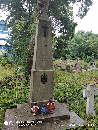
| Memorials | : | 1 |
| Location | : | Suwałki, Miasto Suwałki, Poland |
| Coordinate | : | 54.0968583, 22.9184833 |
| Description | : | The Jewish cemetery in Suwałki (Zarzecze Street) was founded in 1825. The last burial took place in 1986. During World War II, Germans devastated the cemetery. Matzevot were used to inlay two swimming pools in Mickiewicza Street (next to the fire station building). On the area of 3.8 hectares about 20 tombstones have survived, the oldest of which dates back to 1856. The matzevot were made from granite, limestone, and sandstone. Characteristic ornaments and inscriptions in Hebrew have been preserved. The cemetery is surrounded by a wall. In 1973, the swimming pools in Mickiewicza Street were closed down. Some of the recovered... Read More |
frequently asked questions (FAQ):
-
Where is Cmentarz żydowski w Suwałkach?
Cmentarz żydowski w Suwałkach is located at ul. Zarzecze Suwałki, Miasto Suwałki ,Podlaskie , 16-402Poland.
-
Cmentarz żydowski w Suwałkach cemetery's updated grave count on graveviews.com?
1 memorials
-
Where are the coordinates of the Cmentarz żydowski w Suwałkach?
Latitude: 54.0968583
Longitude: 22.9184833
Nearby Cemetories:
1. Cmentarz Rzymsko-Katolicki
Suwałki, Miasto Suwałki, Poland
Coordinate: 54.0972500, 22.9140300
2. Cmentarz Komunalny
Suwałki, Miasto Suwałki, Poland
Coordinate: 54.1382049, 22.9335713
3. Cmentarz parafialny
Powiat suwalski, Poland
Coordinate: 54.2872614, 22.8870512
4. Cmentarz parafialny
Powiat suwalski, Poland
Coordinate: 54.1725752, 22.6182850
5. Cmentarz parafialny
Powiat suwalski, Poland
Coordinate: 54.3256694, 22.9784991
6. Jewish Cemetery of Sejny
Suwałki, Miasto Suwałki, Poland
Coordinate: 54.1018200, 23.3345000
7. Cmentarz Parafialny w Sejnach
Sejny, Powiat sejneński, Poland
Coordinate: 54.1104846, 23.3563287
8. Cmentarz komunalny (stary)
Olecko, Powiat olecki, Poland
Coordinate: 54.0488306, 22.4875927
9. Wizajny
Powiat suwalski, Poland
Coordinate: 54.3684340, 22.8665400
10. Varteleiai Lutheran Cemetery
Vistytis, Vilkaviškis District Municipality, Lithuania
Coordinate: 54.3919797, 22.7935945
11. Olgino Lutheran Cemetery
Vistytis, Vilkaviškis District Municipality, Lithuania
Coordinate: 54.4066405, 22.8896022
12. Parvarteliai Lutheran Cemetery
Varteliai, Vilkaviškis District Municipality, Lithuania
Coordinate: 54.3977345, 22.7809024
13. Cmentarz w Borzymach
Powiat ełcki, Poland
Coordinate: 53.8178590, 22.6767380
14. New Parish Cemetery in Bargłów Dworny
Powiat augustowski, Poland
Coordinate: 53.7726770, 22.8320000
15. Old Parish Cemetery in Bargłów Kościelny
Powiat augustowski, Poland
Coordinate: 53.7701850, 22.8249620
16. Cmentarz Komunalny w Pisanicy
Ełk, Powiat ełcki, Poland
Coordinate: 53.8240682, 22.5819900
17. Kauniškas Cemetery
Vygreliai, Vilkaviškis District Municipality, Lithuania
Coordinate: 54.4375074, 22.8891818
18. Strazdinės Lutheran Cemetery
Vistytis, Vilkaviškis District Municipality, Lithuania
Coordinate: 54.4386717, 22.9113933
19. Bambiniai Lutheran Cemetery
Vistytis, Vilkaviškis District Municipality, Lithuania
Coordinate: 54.4586370, 22.8937536
20. Vistytis Cemetery
Vistytis, Vilkaviškis District Municipality, Lithuania
Coordinate: 54.4530000, 22.7180000
21. Lazdijų kapinės
Lazdijai, Lazdijai District Municipality, Lithuania
Coordinate: 54.2422220, 23.5188890
22. Skardupiai German Lutheran Cemetery
Vistytis, Vilkaviškis District Municipality, Lithuania
Coordinate: 54.4773155, 22.8321453
23. Stary Cmentarz Parafialny w Rajgrodzie
Rajgród, Powiat grajewski, Poland
Coordinate: 53.7303266, 22.6996800
24. Nowy Cmentarz Parafialny w Rajgrodzie
Rajgród, Powiat grajewski, Poland
Coordinate: 53.7265913, 22.6826251

