
| Memorials | : | 37 |
| Location | : | Guardian, Webster County, USA |
| Coordinate | : | 38.6490829, -80.4801411 |
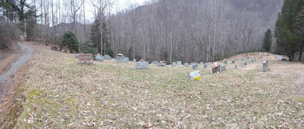
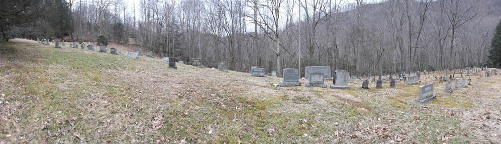
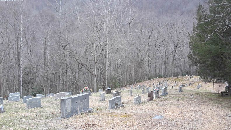
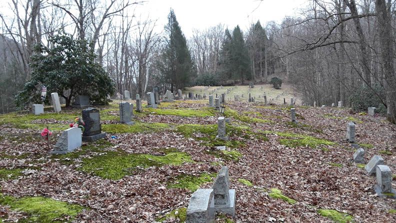
| Description | : | From Route 15 in Guardian, cross the Holly River using the only vehicle bridge in central Guardian; at the end of the bridge turn right onto Removal Road; travel about 2 miles to the highest point of the road above the river; cemetery is located to the left. With a few exceptions, this large cemetery (largest of the four in Guardian) contains the grave sites of most of the area's original settlers. |
frequently asked questions (FAQ):
-
Where is Cogar Cemetery?
Cogar Cemetery is located at Removal Road Guardian, Webster County ,West Virginia , 26217USA.
-
Cogar Cemetery cemetery's updated grave count on graveviews.com?
32 memorials
-
Where are the coordinates of the Cogar Cemetery?
Latitude: 38.6490829
Longitude: -80.4801411
Nearby Cemetories:
1. Levi M Hall Jr Cemetery
Guardian, Webster County, USA
Coordinate: 38.6379720, -80.4697630
2. Clifton Cemetery
Guardian, Webster County, USA
Coordinate: 38.6335481, -80.4657291
3. Benjamin Franklin Ware Cemetery
Guardian, Webster County, USA
Coordinate: 38.6365220, -80.4592860
4. Brake Cemetery
Hacker Valley, Webster County, USA
Coordinate: 38.6616200, -80.4430200
5. Ware Cemetery
Hacker Valley, Webster County, USA
Coordinate: 38.6671960, -80.4467900
6. Big Run Cemetery
Diana, Webster County, USA
Coordinate: 38.6006400, -80.4706170
7. Cowger Cemetery
Hacker Valley, Webster County, USA
Coordinate: 38.6578000, -80.4167000
8. Cutlip Cemetery
Braxton County, USA
Coordinate: 38.6980000, -80.5002000
9. Clifton Cemetery
Webster County, USA
Coordinate: 38.5960999, -80.4914017
10. Chestnut Grove Cemetery
Hacker Valley, Webster County, USA
Coordinate: 38.6978000, -80.4431000
11. Cogar Cemetery
Braxton County, USA
Coordinate: 38.7058330, -80.4802780
12. Cutlip-Lick Run Cemetery
Webster County, USA
Coordinate: 38.6068860, -80.4289100
13. Lunceford-Mollohan Cemetery
Caress, Braxton County, USA
Coordinate: 38.7075590, -80.4773140
14. Centralia Cemetery
Braxton County, USA
Coordinate: 38.6142006, -80.5535965
15. Harris Family Farm Cemetery
Webster County, USA
Coordinate: 38.6690000, -80.3970000
16. George Lough Burial Site
Hacker Valley, Webster County, USA
Coordinate: 38.6451750, -80.3923250
17. Wheeler Cemetery
Hacker Valley, Webster County, USA
Coordinate: 38.6883000, -80.4053000
18. Kniceley Cemetery
Braxton County, USA
Coordinate: 38.7150002, -80.5132980
19. Armentrout Cemetery
Webster County, USA
Coordinate: 38.5800000, -80.4591540
20. Mary Magdelen Lough
Hacker Valley, Webster County, USA
Coordinate: 38.6465500, -80.3892130
21. Radabaugh Cemetery
Hacker Valley, Webster County, USA
Coordinate: 38.7064000, -80.4217000
22. Hacker Valley Cemetery
Hacker Valley, Webster County, USA
Coordinate: 38.6507220, -80.3860970
23. Harper Cemetery
Caress, Braxton County, USA
Coordinate: 38.7044880, -80.5488230
24. Krafft Cemetery
Braxton County, USA
Coordinate: 38.7238998, -80.5057983