
| Memorials | : | 0 |
| Location | : | Jefferson Township, Jackson County, USA |
| Coordinate | : | 38.9057999, -82.6250000 |
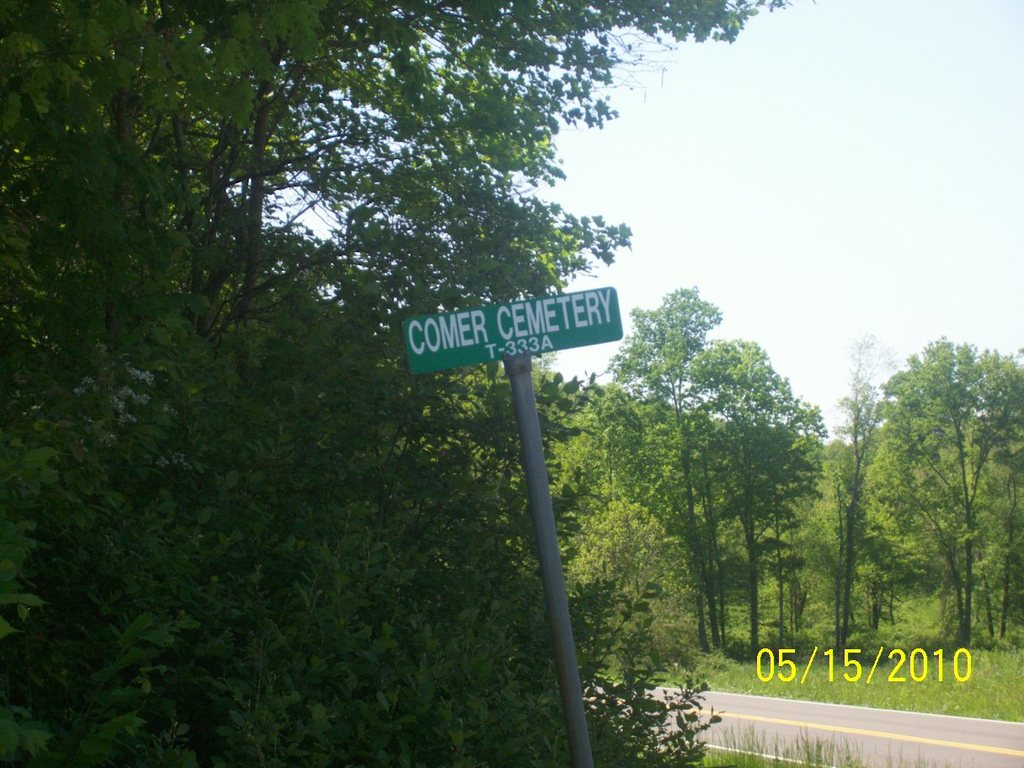
| Description | : | The cemetery is located on the west side of Leonard Lane (Township Road 333) about 300 feet south of its intersection with Ohio State Route 279. The cemetery is 0.2 acres in size. The cemetery is located in Jefferson Township, Jackson County, Ohio, and is # 5920 (Comer Cemetery) in “Ohio Cemeteries 1803-2003”, compiled by the Ohio Genealogical Society. The U.S. Geological Survey (USGS) Geographic Names Information System (GNIS) feature ID for the cemetery is 1039283 (Comer Cemetery). The cemetery is listed as Jefferson Township cemetery e (Comer Cemetery) on page 288 in Cemetery Inscriptions of Jackson County... Read More |
frequently asked questions (FAQ):
-
Where is Comer Cemetery?
Comer Cemetery is located at Leonard Lane (Township Road 333) Jefferson Township, Jackson County ,Ohio ,USA.
-
Comer Cemetery cemetery's updated grave count on graveviews.com?
0 memorials
-
Where are the coordinates of the Comer Cemetery?
Latitude: 38.9057999
Longitude: -82.6250000
Nearby Cemetories:
1. Adkins Family Cemetery
Oak Hill, Jackson County, USA
Coordinate: 38.9152794, -82.6257095
2. Unidentified Cemetery #1
Jefferson Township, Jackson County, USA
Coordinate: 38.8971890, -82.6329580
3. Horeb Cemetery
Oak Hill, Jackson County, USA
Coordinate: 38.9009094, -82.6126633
4. Hickory Grove Cemetery
Oak Hill, Jackson County, USA
Coordinate: 38.8871841, -82.6220169
5. Shepard Cemetery
Jackson County, USA
Coordinate: 38.8814011, -82.6110992
6. Horton Cemetery
Jackson County, USA
Coordinate: 38.9249992, -82.6489029
7. Jenkins Cemetery
Clay, Jackson County, USA
Coordinate: 38.9310989, -82.6138992
8. Burnsides-Shoemaker Cemetery
Clay, Jackson County, USA
Coordinate: 38.9374360, -82.6328810
9. Mackley Cemetery
Jackson County, USA
Coordinate: 38.8891983, -82.5892029
10. Johnson Cemetery
Oak Hill, Jackson County, USA
Coordinate: 38.9310989, -82.5986023
11. Price Cemetery
Oak Hill, Jackson County, USA
Coordinate: 38.9011002, -82.5744019
12. McNeal Cemetery
Oak Hill, Jackson County, USA
Coordinate: 38.9124985, -82.5744019
13. Caldwell Cemetery
Jefferson Township, Jackson County, USA
Coordinate: 38.8743770, -82.6586790
14. Hitchcock Cemetery
Jefferson Township, Jackson County, USA
Coordinate: 38.8795440, -82.5843560
15. Monroe Cemetery
Oak Hill, Jackson County, USA
Coordinate: 38.8647000, -82.6297000
16. Arthur Cemetery
Jefferson Township, Jackson County, USA
Coordinate: 38.9294014, -82.5753021
17. West Cemetery
Jackson County, USA
Coordinate: 38.8669014, -82.5939026
18. Antioch Cemetery
Franklin Township, Jackson County, USA
Coordinate: 38.9525710, -82.6314790
19. Calahan Cemetery
Franklin Township, Jackson County, USA
Coordinate: 38.9378710, -82.5797620
20. Smith Cemetery
Mabee Corner, Jackson County, USA
Coordinate: 38.9399986, -82.6703033
21. United Brethren Cemetery
Oak Hill, Jackson County, USA
Coordinate: 38.9030530, -82.5619260
22. Slab Hollow Cemetery
Jefferson Township, Jackson County, USA
Coordinate: 38.8553009, -82.6327972
23. McDaniel Cemetery
Oak Hill, Jackson County, USA
Coordinate: 38.8959480, -82.5598140
24. Woods Cemetery
Jefferson Township, Jackson County, USA
Coordinate: 38.8627580, -82.6619620